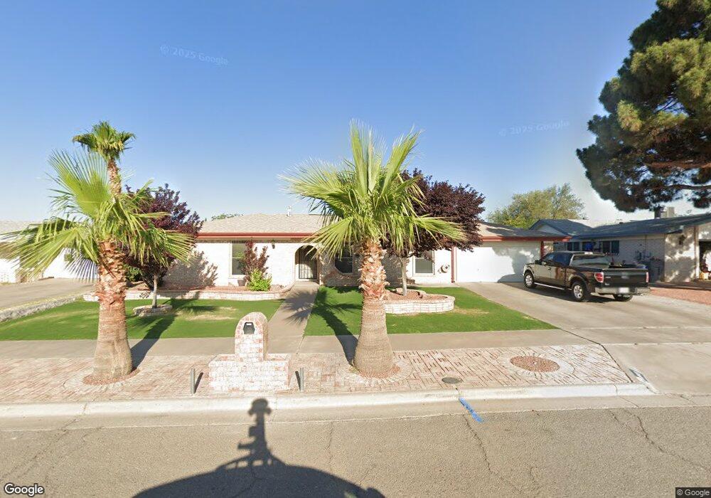
1845 Mike Hill Dr El Paso, TX 79936
Vista Del Sol NeighborhoodEstimated Value: $272,000 - $310,000
--
Bed
2
Baths
2,081
Sq Ft
$139/Sq Ft
Est. Value
About This Home
This home is located at 1845 Mike Hill Dr, El Paso, TX 79936 and is currently estimated at $289,238, approximately $138 per square foot. 1845 Mike Hill Dr is a home located in El Paso County with nearby schools including Tierra Del Sol Elementary School, J M Hanks High School, and EL PASO LEADERSHIP ACADEMY - MIDDLE EAST.
Ownership History
Date
Name
Owned For
Owner Type
Purchase Details
Closed on
Mar 5, 1999
Sold by
Navarrette Grace P
Bought by
Navarrette John G
Current Estimated Value
Home Financials for this Owner
Home Financials are based on the most recent Mortgage that was taken out on this home.
Original Mortgage
$10,000
Outstanding Balance
$2,449
Interest Rate
6.89%
Mortgage Type
Seller Take Back
Estimated Equity
$286,789
Create a Home Valuation Report for This Property
The Home Valuation Report is an in-depth analysis detailing your home's value as well as a comparison with similar homes in the area
Home Values in the Area
Average Home Value in this Area
Purchase History
| Date | Buyer | Sale Price | Title Company |
|---|---|---|---|
| Navarrette John G | -- | -- |
Source: Public Records
Mortgage History
| Date | Status | Borrower | Loan Amount |
|---|---|---|---|
| Open | Navarrette John G | $10,000 |
Source: Public Records
Tax History Compared to Growth
Tax History
| Year | Tax Paid | Tax Assessment Tax Assessment Total Assessment is a certain percentage of the fair market value that is determined by local assessors to be the total taxable value of land and additions on the property. | Land | Improvement |
|---|---|---|---|---|
| 2025 | $3,323 | $273,481 | $44,640 | $228,841 |
| 2024 | $3,323 | $250,933 | -- | -- |
| 2023 | $3,201 | $228,121 | $0 | $0 |
| 2022 | $6,440 | $207,383 | $0 | $0 |
| 2021 | $6,128 | $188,530 | $30,451 | $158,079 |
| 2020 | $5,789 | $183,290 | $27,640 | $155,650 |
| 2018 | $5,582 | $179,504 | $27,640 | $151,864 |
| 2017 | $5,152 | $168,936 | $27,640 | $141,296 |
| 2016 | $4,684 | $153,236 | $27,640 | $125,596 |
| 2015 | $3,251 | $153,236 | $27,640 | $125,596 |
| 2014 | $3,251 | $154,170 | $27,640 | $126,530 |
Source: Public Records
Map
Nearby Homes
- 1817 Hugh Royer Place
- 1868 Tom Bolt Dr
- 1901 Bobby Jones Dr
- 1913 Seagull Dr
- 2001 Bobby Jones Dr Unit A
- 2009 Bobby Jones Dr Unit B
- 11016 Bob Stone Dr
- 11012 Bob Stone Dr
- 11013 Bob Stone Dr
- 1804 Jerry Abbott St
- 1739 Jerry Abbott St
- 1844 Jack Nicklaus Dr Unit 1846
- 11204 Bob Mitchell Dr
- 2604 Anise Dr
- 1703 Robert Wynn St
- 2308 Tom Watson Ct
- 11008 Johnny Miller Dr
- 11157 Leo Collins Dr
- 1617 Tommy Aaron Dr
- 2101 E Glen Dr
- 1849 Mike Hill Dr
- 1841 Mike Hill Dr
- 1841 Mike Hill Dr Unit 1
- 1840 Pete Brown Dr
- 1844 Pete Brown Dr
- 1836 Pete Brown Dr
- 1853 Mike Hill Dr
- 1837 Mike Hill Dr
- 1844 Mike Hill Dr
- 1848 Pete Brown Dr
- 1840 Mike Hill Dr
- 1848 Mike Hill Dr
- 1832 Pete Brown Dr
- 1836 Mike Hill Dr
- 1857 Mike Hill Dr
- 1852 Pete Brown Dr
- 1852 Mike Hill Dr
- 1833 Mike Hill Dr
- 1841 Pete Brown Dr
- 1841 Pete Brown Place