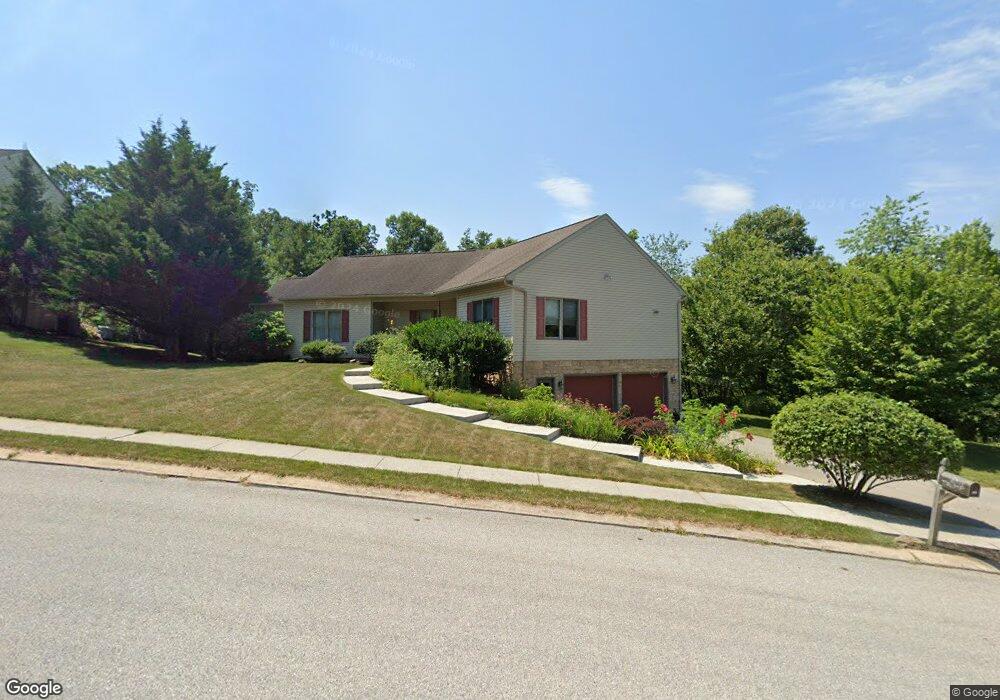
1845 Orwig Rd New Freedom, PA 17349
Estimated Value: $475,561 - $567,000
4
Beds
3
Baths
2,412
Sq Ft
$210/Sq Ft
Est. Value
About This Home
This home is located at 1845 Orwig Rd, New Freedom, PA 17349 and is currently estimated at $507,140, approximately $210 per square foot. 1845 Orwig Rd is a home located in York County with nearby schools including Susquehannock High School, St John The Baptist Catholic School, and Shrewsbury Christian Academy.
Ownership History
Date
Name
Owned For
Owner Type
Purchase Details
Closed on
Jan 11, 1999
Sold by
Kinsley Robert A and Kinsley Anne W
Bought by
Obyrne Edward P and Obyrne Clara E
Current Estimated Value
Home Financials for this Owner
Home Financials are based on the most recent Mortgage that was taken out on this home.
Original Mortgage
$47,700
Interest Rate
8.25%
Create a Home Valuation Report for This Property
The Home Valuation Report is an in-depth analysis detailing your home's value as well as a comparison with similar homes in the area
Home Values in the Area
Average Home Value in this Area
Purchase History
| Date | Buyer | Sale Price | Title Company |
|---|---|---|---|
| Obyrne Edward P | $53,000 | -- |
Source: Public Records
Mortgage History
| Date | Status | Borrower | Loan Amount |
|---|---|---|---|
| Closed | Obyrne Edward P | $47,700 |
Source: Public Records
Tax History Compared to Growth
Tax History
| Year | Tax Paid | Tax Assessment Tax Assessment Total Assessment is a certain percentage of the fair market value that is determined by local assessors to be the total taxable value of land and additions on the property. | Land | Improvement |
|---|---|---|---|---|
| 2025 | $8,298 | $280,420 | $47,210 | $233,210 |
| 2024 | $8,163 | $280,420 | $47,210 | $233,210 |
| 2023 | $8,079 | $280,420 | $47,210 | $233,210 |
| 2022 | $8,037 | $280,420 | $47,210 | $233,210 |
| 2021 | $7,689 | $280,420 | $47,210 | $233,210 |
| 2020 | $7,639 | $280,420 | $47,210 | $233,210 |
| 2019 | $7,639 | $280,420 | $47,210 | $233,210 |
| 2018 | $7,479 | $280,420 | $47,210 | $233,210 |
| 2017 | $7,280 | $280,420 | $47,210 | $233,210 |
| 2016 | $0 | $280,420 | $47,210 | $233,210 |
| 2015 | -- | $280,420 | $47,210 | $233,210 |
| 2014 | -- | $280,420 | $47,210 | $233,210 |
Source: Public Records
Map
Nearby Homes
- 1402 Oakland Rd
- 1605 Oakland Rd
- 21315 Ridge Rd
- 101 Freedom Ave
- 48 E Franklin St
- 41 Logan Dr
- 677 Keller Rd
- 407 Peggy Ln
- 411 Peggy Ln
- 452 Hilltop Ct
- 318 Eliza Rd
- 606 Freeland Rd
- 111 Penny Ln
- 3 Harrison Rd
- 35 Independence Dr
- 32 Washington Rd
- 20809 Keeney Mill Rd
- 2449 E Ruhl Rd
- 20633 Mount Zion Rd
- 1507 Freeland Rd
- 1823 Orwig Rd
- 1849 Orwig Rd
- 1871 Orwig Rd
- 1822 Orwig Rd
- 1803 Orwig Rd
- 1850 Sorrel Ridge Rd
- 1794 Orwig Rd
- 1876 Orwig Rd
- 1779 Orwig Rd
- 1826 Sorrel Ridge Rd
- 1890 Orwig Rd
- 1890 Orwig Rd
- 1812 Sorrel Ridge Rd
- 1769 Sorrel Ridge Rd
- 1768 Orwig Rd
- 1751 Orwig Rd
- 17525 Gerry Ln
- 1796 Sorrel Ridge Ln
- 1796 Sorrel Ridge Rd
- 1741 Sorrel Ridge Rd