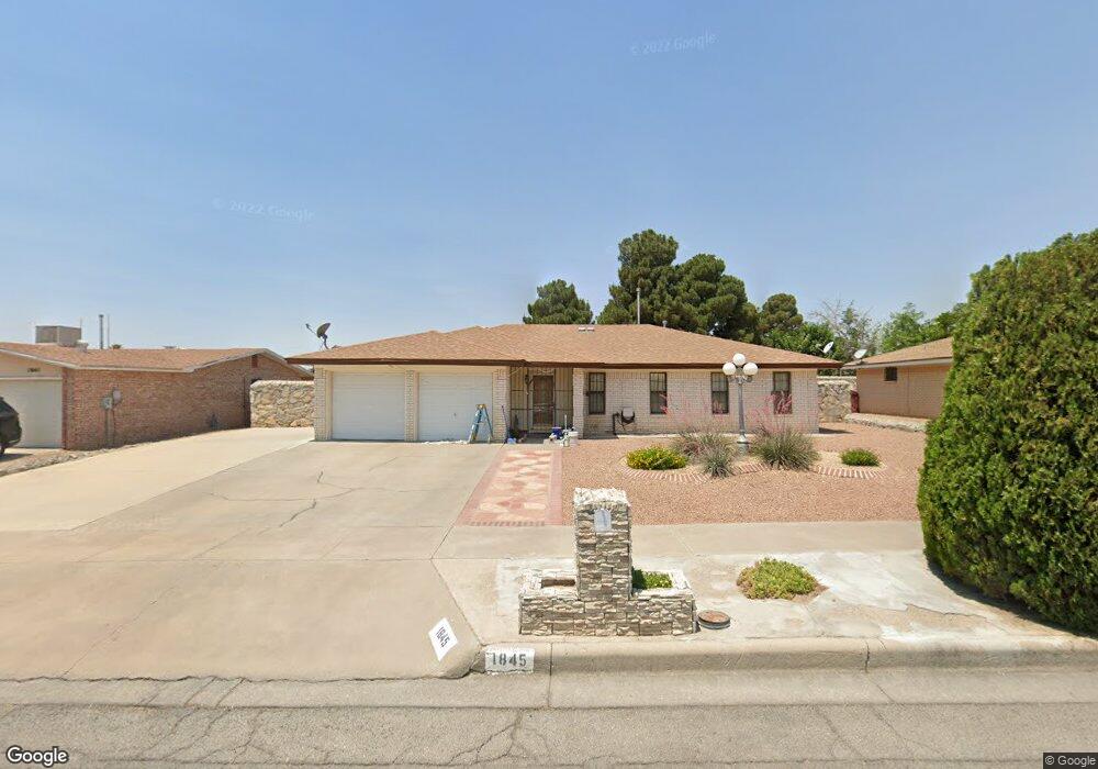
1845 Pete Brown Dr El Paso, TX 79936
Vista Del Sol NeighborhoodEstimated Value: $231,000 - $256,000
3
Beds
2
Baths
1,541
Sq Ft
$157/Sq Ft
Est. Value
About This Home
This home is located at 1845 Pete Brown Dr, El Paso, TX 79936 and is currently estimated at $241,706, approximately $156 per square foot. 1845 Pete Brown Dr is a home located in El Paso County with nearby schools including Tierra Del Sol Elementary School, J M Hanks High School, and EL PASO LEADERSHIP ACADEMY - MIDDLE EAST.
Ownership History
Date
Name
Owned For
Owner Type
Purchase Details
Closed on
Sep 23, 2005
Sold by
Lujan Olga and Lujan Luis Octavio
Bought by
Gomez J Gilberto and Gomez Bertha A Trevino
Current Estimated Value
Purchase Details
Closed on
Aug 15, 2000
Sold by
Duarte Carlos and Duarte Dora Q
Bought by
Lopez Olga
Home Financials for this Owner
Home Financials are based on the most recent Mortgage that was taken out on this home.
Original Mortgage
$64,000
Interest Rate
8.22%
Mortgage Type
Seller Take Back
Create a Home Valuation Report for This Property
The Home Valuation Report is an in-depth analysis detailing your home's value as well as a comparison with similar homes in the area
Home Values in the Area
Average Home Value in this Area
Purchase History
| Date | Buyer | Sale Price | Title Company |
|---|---|---|---|
| Gomez J Gilberto | -- | Sierra | |
| Lopez Olga | -- | -- |
Source: Public Records
Mortgage History
| Date | Status | Borrower | Loan Amount |
|---|---|---|---|
| Previous Owner | Lopez Olga | $64,000 |
Source: Public Records
Tax History Compared to Growth
Tax History
| Year | Tax Paid | Tax Assessment Tax Assessment Total Assessment is a certain percentage of the fair market value that is determined by local assessors to be the total taxable value of land and additions on the property. | Land | Improvement |
|---|---|---|---|---|
| 2025 | $2,562 | $220,811 | -- | -- |
| 2024 | $2,562 | $200,737 | -- | -- |
| 2023 | $2,458 | $182,488 | $0 | $0 |
| 2022 | $5,152 | $165,898 | $0 | $0 |
| 2021 | $4,902 | $153,080 | $28,165 | $124,915 |
| 2020 | $4,330 | $137,105 | $25,565 | $111,540 |
| 2018 | $4,272 | $137,389 | $25,565 | $111,824 |
| 2017 | $3,859 | $126,256 | $25,565 | $100,691 |
| 2016 | $3,517 | $115,068 | $25,565 | $89,503 |
| 2015 | $2,732 | $115,068 | $25,565 | $89,503 |
| 2014 | $2,732 | $115,628 | $25,565 | $90,063 |
Source: Public Records
Map
Nearby Homes
- 1817 Hugh Royer Place
- 1868 Tom Bolt Dr
- 1901 Bobby Jones Dr
- 2001 Bobby Jones Dr Unit A
- 2009 Bobby Jones Dr Unit B
- 1913 Seagull Dr
- 11016 Bob Stone Dr
- 11012 Bob Stone Dr
- 11013 Bob Stone Dr
- 1844 Jack Nicklaus Dr Unit 1846
- 2604 Anise Dr
- 1804 Jerry Abbott St
- 1739 Jerry Abbott St
- 11204 Bob Mitchell Dr
- 11008 Johnny Miller Dr
- 2308 Tom Watson Ct
- 1703 Robert Wynn St
- 11157 Leo Collins Dr
- 2101 E Glen Dr
- 2348 Sea Side Dr
- 1841 Pete Brown Place
- 1841 Pete Brown Place
- 1841 Pete Brown Dr
- 1849 Pete Brown Dr
- 1804 Hugh Royer Place
- 1853 Pete Brown Dr
- 1808 Hugh Royer Place
- 1844 Pete Brown Dr
- 1837 Pete Brown Place
- 1837 Pete Brown Dr
- 1848 Pete Brown Dr
- 1840 Pete Brown Dr
- 1800 Hugh Royer Place
- 1852 Pete Brown Dr
- 1812 Hugh Royer Place
- 1857 Pete Brown Place
- 1857 Pete Brown Dr
- 1836 Pete Brown Dr
- 1833 Pete Brown Dr
- 1856 Pete Brown Dr