1845 Royal Oak Dr Unit 1845 Painesville, OH 44077
Estimated Value: $164,037 - $198,000
2
Beds
2
Baths
936
Sq Ft
$196/Sq Ft
Est. Value
About This Home
This home is located at 1845 Royal Oak Dr Unit 1845, Painesville, OH 44077 and is currently estimated at $183,759, approximately $196 per square foot. 1845 Royal Oak Dr Unit 1845 is a home located in Lake County with nearby schools including Henry F. Lamuth Middle School, Riverside Junior/Senior High School, and Summit Academy Community School - Painesville.
Ownership History
Date
Name
Owned For
Owner Type
Purchase Details
Closed on
Jul 30, 2004
Sold by
Mathis Terry J
Bought by
Mathis Terry J and Davis Barbara A
Current Estimated Value
Home Financials for this Owner
Home Financials are based on the most recent Mortgage that was taken out on this home.
Original Mortgage
$116,250
Outstanding Balance
$59,171
Interest Rate
6.4%
Mortgage Type
Purchase Money Mortgage
Estimated Equity
$124,588
Create a Home Valuation Report for This Property
The Home Valuation Report is an in-depth analysis detailing your home's value as well as a comparison with similar homes in the area
Home Values in the Area
Average Home Value in this Area
Purchase History
| Date | Buyer | Sale Price | Title Company |
|---|---|---|---|
| Mathis Terry J | -- | Enterprise Title | |
| Mathis Terry J | $116,300 | Enterprise Title |
Source: Public Records
Mortgage History
| Date | Status | Borrower | Loan Amount |
|---|---|---|---|
| Open | Mathis Terry J | $116,250 |
Source: Public Records
Tax History Compared to Growth
Tax History
| Year | Tax Paid | Tax Assessment Tax Assessment Total Assessment is a certain percentage of the fair market value that is determined by local assessors to be the total taxable value of land and additions on the property. | Land | Improvement |
|---|---|---|---|---|
| 2024 | -- | $48,690 | $12,350 | $36,340 |
| 2023 | $3,661 | $33,600 | $10,290 | $23,310 |
| 2022 | $974 | $33,600 | $10,290 | $23,310 |
| 2021 | $1,486 | $33,600 | $10,290 | $23,310 |
| 2020 | $1,309 | $28,010 | $8,580 | $19,430 |
| 2019 | $1,319 | $28,010 | $8,580 | $19,430 |
| 2018 | $1,323 | $26,410 | $3,500 | $22,910 |
| 2017 | $1,252 | $26,410 | $3,500 | $22,910 |
| 2016 | $1,105 | $26,410 | $3,500 | $22,910 |
| 2015 | $1,011 | $26,410 | $3,500 | $22,910 |
| 2014 | $1,027 | $26,410 | $3,500 | $22,910 |
| 2013 | $1,004 | $26,410 | $3,500 | $22,910 |
Source: Public Records
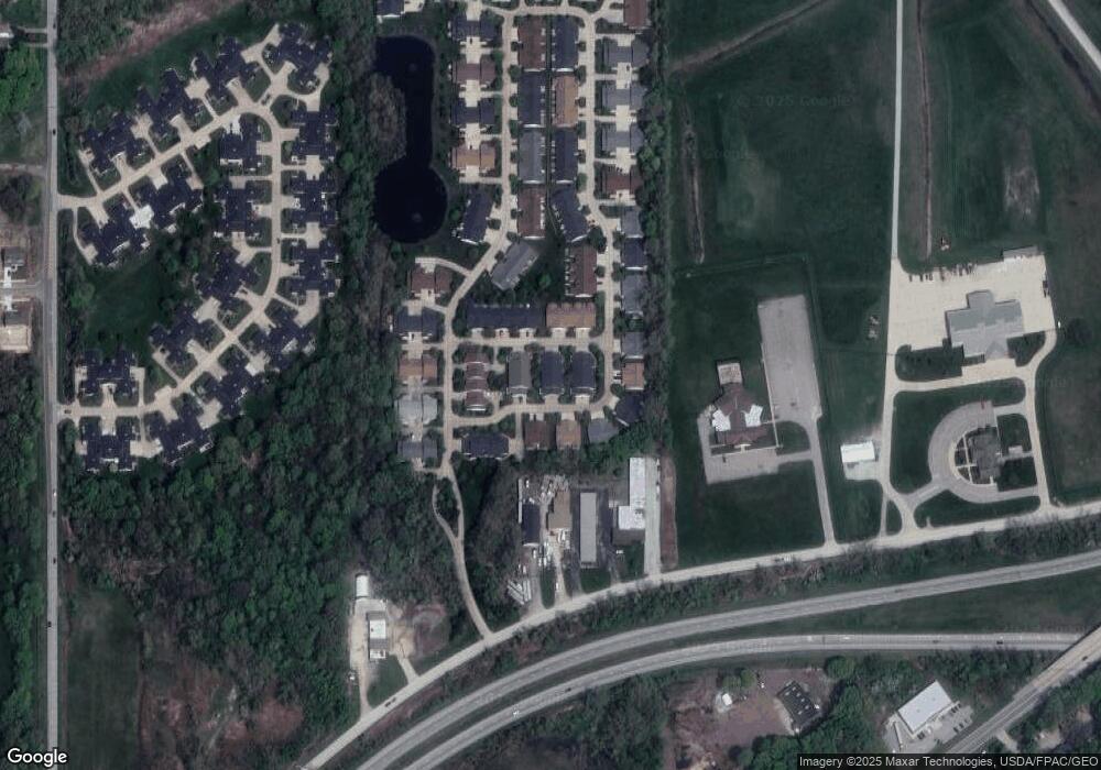
Map
Nearby Homes
- 634 N Creek Dr
- 1978 Marsh Ln Unit 1978
- 720 N Creek Dr
- 1865 Marsh Ln Unit 1865
- 751 Bacon Rd
- 1806 Muirfield Ln
- 1791 Muirfield Ln
- 1787 Muirfield Ln
- 1809 Muirfield Ln
- 269 Hale Rd
- 0 N Ridge Rd Unit 5110949
- 1719 Duffton Ln
- 108 Birch Dr
- 1679 Duffton Ln
- 547 Greenside Dr
- 499 Sand Trap Cir
- 1598 Bogie Ln
- 728 Bowhall Rd
- 389 Sand Trap Cir
- 399 Sandtrap Cir
- 1855 Royal Oak Dr Unit 1855
- 1835 Royal Oak Dr
- 2034 Mayapple Dr Unit 2034
- 2036 Mayapple Dr Unit 2036
- 2028 Mayapple Dr Unit 2028
- 1825 Royal Oak Dr Unit 1825
- 1865 Royal Oak Dr Unit 1865
- 2026 Mayapple Dr Unit 2026
- 2042 Mayapple Dr Unit 2042
- 1875 Royal Oak Dr Unit 1875
- 1830 Royal Oak Dr
- 2044 Mayapple Dr Unit 2044
- 1820 Royal Oak Dr
- 1840 Royal Oak Dr
- 1850 Royal Oak Dr
- 1815 Royal Oak Dr Unit 2300G
- 2004 Mayapple Dr Unit 2300F
- 1805 Royal Oak Dr
- 1860 Royal Oak Dr Unit 1860
- 2023 Mayapple Dr Unit 2023