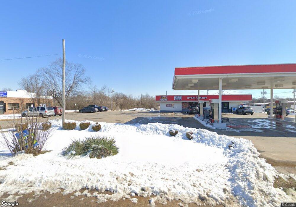
1845 S 8th St Rogers, AR 72756
Estimated Value: $1,188,754
--
Bed
--
Bath
3,362
Sq Ft
$354/Sq Ft
Est. Value
About This Home
This home is located at 1845 S 8th St, Rogers, AR 72756 and is currently priced at $1,188,754, approximately $353 per square foot. 1845 S 8th St is a home located in Benton County with nearby schools including Frank Tillery Elementary School, Lingle Middle School, and Rogers Heritage High School.
Ownership History
Date
Name
Owned For
Owner Type
Purchase Details
Closed on
Jul 10, 2015
Sold by
Port Cities Oil Llc
Bought by
Afzal Tariq
Current Estimated Value
Purchase Details
Closed on
Dec 19, 2014
Sold by
Coulson Properties Limited Partnership
Bought by
Dawkins Mary Ann
Purchase Details
Closed on
Oct 10, 2001
Bought by
Coulson Oil
Purchase Details
Closed on
Aug 30, 1999
Bought by
State Hwy
Purchase Details
Closed on
Dec 19, 1990
Bought by
Coulson Prop
Purchase Details
Closed on
Feb 11, 1985
Bought by
White
Purchase Details
Closed on
Jun 18, 1981
Bought by
W C and C C
Create a Home Valuation Report for This Property
The Home Valuation Report is an in-depth analysis detailing your home's value as well as a comparison with similar homes in the area
Home Values in the Area
Average Home Value in this Area
Purchase History
| Date | Buyer | Sale Price | Title Company |
|---|---|---|---|
| Afzal Tariq | $680,000 | First National Title Co | |
| Cdw Investments Llc | -- | Attorney | |
| Dawkins Mary Ann | -- | None Available | |
| Coulson Oil | -- | -- | |
| State Hwy | -- | -- | |
| Coulson Prop | -- | -- | |
| White | -- | -- | |
| W C | $148,000 | -- |
Source: Public Records
Mortgage History
| Date | Status | Borrower | Loan Amount |
|---|---|---|---|
| Open | W C | $616,641 |
Source: Public Records
Tax History Compared to Growth
Tax History
| Year | Tax Paid | Tax Assessment Tax Assessment Total Assessment is a certain percentage of the fair market value that is determined by local assessors to be the total taxable value of land and additions on the property. | Land | Improvement |
|---|---|---|---|---|
| 2025 | $8,264 | $195,265 | $58,649 | $136,616 |
| 2024 | $7,391 | $195,265 | $58,649 | $136,616 |
| 2023 | $6,719 | $127,020 | $37,860 | $89,160 |
| 2022 | $6,986 | $127,020 | $37,860 | $89,160 |
| 2021 | $6,968 | $127,020 | $37,860 | $89,160 |
| 2020 | $7,029 | $128,030 | $42,300 | $85,730 |
| 2019 | $7,029 | $128,030 | $42,300 | $85,730 |
| 2018 | $7,029 | $128,030 | $42,300 | $85,730 |
| 2017 | $7,093 | $128,030 | $42,300 | $85,730 |
| 2016 | $6,645 | $128,030 | $42,300 | $85,730 |
| 2015 | $8,571 | $162,030 | $71,090 | $90,940 |
| 2014 | $8,571 | $162,030 | $71,090 | $90,940 |
Source: Public Records
Map
Nearby Homes
- 0 Hwy 94 Dr Unit 1239629
- 1904 S 8th St
- 825 W Linden St
- 1008 W Linden St
- 1012 W Linden St
- 1014 W Linden St
- 9.02 Acres W Dyke Rd
- 2004 S 12th St
- 1511 S 5th St Unit 2
- 2006 S 11th St
- 1308 & 1310 W Lela St
- 122 E Glendale Ln
- 2221 S 9th St
- 2011 S 13th St
- 1407 S 4th St
- 1405 S 5th St
- 1325 W New Hope Rd
- 1902 S 16th St
- 1203 W Countrywood Cir
- 117 E Veterans Pkwy
- 12753 W New Hope Rd
- 18449 W New Hope Rd
- 1820 S 8th St
- 1901 S 8th St
- 1821 S 8th St
- 1816 S 8th St
- 1814 S 8th St
- 1900 S 8th St Unit 5
- 0 Hwy 94 Dr Unit 476967
- 0 Hwy 94 Dr Unit 338437
- 0 Hwy 94 Dr Unit 347895
- 0 Hwy 94 Dr Unit 407322
- -- S 8th Str St
- 0 2nd Hwy 94 St
- 0 Hwy 94 Dr Unit 496733
- 0 Hwy 94 Dr Unit 1233157
- 0 Hwy 94 Dr Unit 550422
- 0 S 8th Street 1626 Unit 618405
- 0 S 8th St Post Rd St
- 0 Hwy 94 Dr Unit 645300