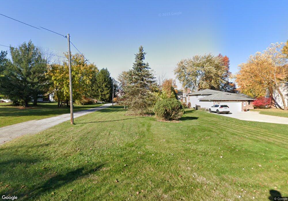
18452 Howe Rd Strongsville, OH 44136
Estimated Value: $270,796 - $290,000
3
Beds
2
Baths
1,488
Sq Ft
$189/Sq Ft
Est. Value
About This Home
This home is located at 18452 Howe Rd, Strongsville, OH 44136 and is currently estimated at $280,699, approximately $188 per square foot. 18452 Howe Rd is a home located in Cuyahoga County with nearby schools including Strongsville High School.
Ownership History
Date
Name
Owned For
Owner Type
Purchase Details
Closed on
Sep 10, 1996
Sold by
Haseley Daniel A
Bought by
Schauer Robert and Schauer Karen L
Current Estimated Value
Home Financials for this Owner
Home Financials are based on the most recent Mortgage that was taken out on this home.
Original Mortgage
$70,000
Outstanding Balance
$6,048
Interest Rate
8.27%
Mortgage Type
New Conventional
Estimated Equity
$274,651
Purchase Details
Closed on
Dec 11, 1990
Sold by
Staufer Julia
Bought by
Haseley Daniel A
Purchase Details
Closed on
Jan 1, 1989
Bought by
Staufer Julia
Create a Home Valuation Report for This Property
The Home Valuation Report is an in-depth analysis detailing your home's value as well as a comparison with similar homes in the area
Home Values in the Area
Average Home Value in this Area
Purchase History
| Date | Buyer | Sale Price | Title Company |
|---|---|---|---|
| Schauer Robert | $110,000 | -- | |
| Haseley Daniel A | $30,000 | -- | |
| Staufer Julia | -- | -- |
Source: Public Records
Mortgage History
| Date | Status | Borrower | Loan Amount |
|---|---|---|---|
| Open | Schauer Robert | $70,000 |
Source: Public Records
Tax History Compared to Growth
Tax History
| Year | Tax Paid | Tax Assessment Tax Assessment Total Assessment is a certain percentage of the fair market value that is determined by local assessors to be the total taxable value of land and additions on the property. | Land | Improvement |
|---|---|---|---|---|
| 2024 | $3,507 | $74,690 | $18,830 | $55,860 |
| 2023 | $3,858 | $61,610 | $18,170 | $43,440 |
| 2022 | $3,830 | $61,600 | $18,165 | $43,435 |
| 2021 | $3,799 | $61,600 | $18,170 | $43,440 |
| 2020 | $3,519 | $50,470 | $14,880 | $35,600 |
| 2019 | $3,416 | $144,200 | $42,500 | $101,700 |
| 2018 | $3,018 | $50,470 | $14,880 | $35,600 |
| 2017 | $2,991 | $45,090 | $13,410 | $31,680 |
| 2016 | $2,967 | $45,090 | $13,410 | $31,680 |
| 2015 | $3,009 | $45,090 | $13,410 | $31,680 |
| 2014 | $3,009 | $45,090 | $13,410 | $31,680 |
Source: Public Records
Map
Nearby Homes
- 18229 Howe Rd
- 17130 Golden Star Dr
- 16486 S Red Rock Dr
- 16711 Beech Cir
- 14985 Camden Cir
- 19694 Benbow Rd
- 18987 Laurell Cir
- 15772 Boston Rd
- 17159 Turkey Meadow Ln
- 15604-REAR Boston Rd
- 19740 Benbow Rd
- 15188 Trails Landing
- 16650 Lanier Ave
- 14558 Drake Rd
- 17682 Drake Rd
- 17745 Brick Mill Run
- 16450 Howe Rd
- 16969 Antler Ln
- 97 Weathervane Ln
- 14132 Walking Stick Way
- 18490 Howe Rd
- 18382 Howe Rd
- 18337 Fern Canyon Dr
- 18348 Howe Rd
- 16260 Acacia Dr
- 18339 Fern Canyon Dr
- 16216 Acacia Dr
- 18315 Fern Canyon Dr
- 18314 Howe Rd
- 16304 Acacia Dr
- 16172 Acacia Dr
- 18336 Fern Canyon Dr
- 18273 Fern Canyon Dr
- 18280 Howe Rd
- 16348 Acacia Dr
- 18246 Howe Rd
- 18328 Fern Canyon Dr
- 18235 Fern Canyon Dr
- 18296 Fern Canyon Dr
- 16084 Acacia Dr