1846 290th St Emerald, WI 54013
Forest NeighborhoodEstimated Value: $298,012 - $359,000
Studio
--
Bath
--
Sq Ft
1,742,400
Sq Ft Lot
About This Home
This home is located at 1846 290th St, Emerald, WI 54013 and is currently estimated at $328,506. 1846 290th St is a home located in St. Croix County with nearby schools including Glenwood City Elementary School, Glenwood City Middle School, and Glenwood City High School.
Ownership History
Date
Name
Owned For
Owner Type
Purchase Details
Closed on
Sep 22, 2020
Sold by
Strande Norman W
Bought by
Bergmann Farms Llc
Current Estimated Value
Home Financials for this Owner
Home Financials are based on the most recent Mortgage that was taken out on this home.
Original Mortgage
$190,000
Outstanding Balance
$167,073
Interest Rate
2.9%
Mortgage Type
New Conventional
Estimated Equity
$161,433
Purchase Details
Closed on
Jul 31, 2018
Sold by
Strande Norman W
Bought by
Strande Norman W
Create a Home Valuation Report for This Property
The Home Valuation Report is an in-depth analysis detailing your home's value as well as a comparison with similar homes in the area
Home Values in the Area
Average Home Value in this Area
Purchase History
| Date | Buyer | Sale Price | Title Company |
|---|---|---|---|
| Bergmann Farms Llc | $270,000 | None Available | |
| Strande Norman W | -- | None Available | |
| Strande Norman W | -- | None Available |
Source: Public Records
Mortgage History
| Date | Status | Borrower | Loan Amount |
|---|---|---|---|
| Open | Bergmann Farms Llc | $190,000 |
Source: Public Records
Tax History
| Year | Tax Paid | Tax Assessment Tax Assessment Total Assessment is a certain percentage of the fair market value that is determined by local assessors to be the total taxable value of land and additions on the property. | Land | Improvement |
|---|---|---|---|---|
| 2025 | $715 | $50,200 | $47,100 | $3,100 |
| 2024 | $7 | $50,100 | $47,000 | $3,100 |
| 2023 | $1,720 | $49,700 | $46,600 | $3,100 |
| 2022 | $1,441 | $143,000 | $46,100 | $96,900 |
| 2021 | $1,581 | $89,500 | $29,100 | $60,400 |
| 2020 | $1,501 | $89,400 | $29,000 | $60,400 |
| 2019 | $1,472 | $89,200 | $28,800 | $60,400 |
| 2018 | $1,498 | $89,200 | $28,800 | $60,400 |
| 2017 | $1,497 | $88,900 | $28,500 | $60,400 |
| 2016 | $1,497 | $88,900 | $28,500 | $60,400 |
| 2015 | $1,424 | $88,900 | $28,500 | $60,400 |
| 2014 | $1,392 | $88,900 | $28,500 | $60,400 |
| 2013 | $1,426 | $89,200 | $25,000 | $64,200 |
Source: Public Records
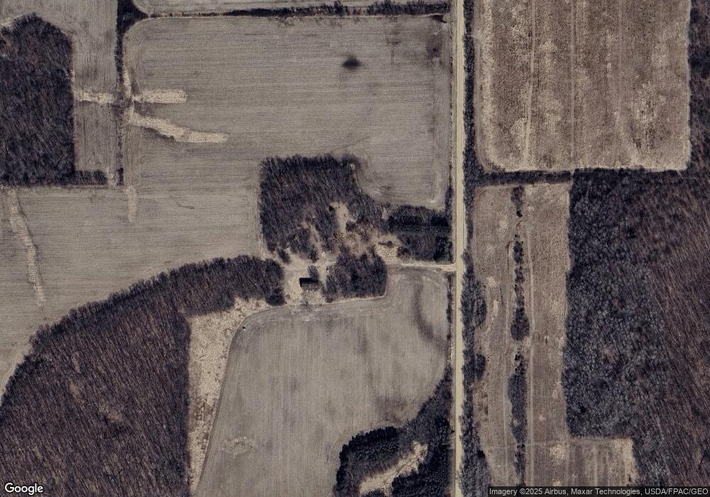
Map
Nearby Homes
- 2686A Hwy 64
- TBD Lands Along 160th Ave & 315th St
- 1620 County Road X
- Lot 2 1240th Ave
- TBD Lot 2 1270th Ave
- TBD Lot 1 1270th Ave
- 000 300th St
- 910 1st St Unit TRL 38
- 816 1st St
- 456 Walnut Ridge Dr
- 623 Syme Ave
- 128 E Walnut St
- 1342 280th St
- 1350 County Road D Lot 4
- 127 Pine St
- 201 -203 Lj Estates
- 10874 50th St
- TBD 260 Ave
- XXX 150th St
- 180 Surrey Ridge Trail
- 1818 290th St
- 2930 County Rd S
- 2930 County Rd S
- Xx Hwy 64
- 2881 County Rd S
- 2892 State Road 64
- 2921 State Road 64
- 2920 State Road 64
- 2857 State Road 64
- 00 Cty Rd S
- 2929 State Road 64
- 2829 State Road 64
- 2829 Hwy 64
- 2948 State Road 64 Unit 2946
- 2946 State Road 64
- 2953 State Road 64
- 2XXX State Road 64
- 2971 State Road 64
- 2966 County Rd S
- 1780 295th St
Your Personal Tour Guide
Ask me questions while you tour the home.