1846 Ga Highway 49 S Oglethorpe, GA 31068
Estimated Value: $163,000 - $311,000
4
Beds
3
Baths
2,208
Sq Ft
$114/Sq Ft
Est. Value
About This Home
This home is located at 1846 Ga Highway 49 S, Oglethorpe, GA 31068 and is currently estimated at $251,921, approximately $114 per square foot. 1846 Ga Highway 49 S is a home with nearby schools including Macon County Elementary School, Macon County Middle School, and Macon County High School.
Ownership History
Date
Name
Owned For
Owner Type
Purchase Details
Closed on
Mar 31, 2008
Sold by
Claunch Robert
Bought by
Ponder Matthew
Current Estimated Value
Purchase Details
Closed on
Oct 30, 2003
Sold by
Thompson Orrien W and Thompson Rosemary
Bought by
Claunch Robert M
Purchase Details
Closed on
Sep 27, 2002
Sold by
Thompson O W
Bought by
Thompson Orrien W and Thompson Rosemary A
Purchase Details
Closed on
Jan 1, 1971
Bought by
Thompson O W
Create a Home Valuation Report for This Property
The Home Valuation Report is an in-depth analysis detailing your home's value as well as a comparison with similar homes in the area
Home Values in the Area
Average Home Value in this Area
Purchase History
| Date | Buyer | Sale Price | Title Company |
|---|---|---|---|
| Ponder Matthew | $135,000 | -- | |
| Claunch Robert M | $130,000 | -- | |
| Thompson Orrien W | -- | -- | |
| Thompson O W | $4,500 | -- |
Source: Public Records
Tax History Compared to Growth
Tax History
| Year | Tax Paid | Tax Assessment Tax Assessment Total Assessment is a certain percentage of the fair market value that is determined by local assessors to be the total taxable value of land and additions on the property. | Land | Improvement |
|---|---|---|---|---|
| 2024 | $1,636 | $69,100 | $16,823 | $52,277 |
| 2023 | $1,631 | $69,100 | $16,823 | $52,277 |
| 2022 | $1,219 | $54,580 | $16,823 | $37,757 |
| 2021 | $1,226 | $42,289 | $15,212 | $27,077 |
| 2020 | $934 | $42,289 | $15,212 | $27,077 |
| 2019 | $1,226 | $42,289 | $15,212 | $27,077 |
| 2018 | $896 | $42,289 | $15,212 | $27,077 |
| 2017 | $898 | $42,289 | $15,212 | $27,077 |
| 2016 | $894 | $42,289 | $15,212 | $27,077 |
| 2015 | -- | $44,760 | $15,212 | $29,549 |
| 2014 | -- | $44,760 | $15,212 | $29,549 |
| 2013 | -- | $44,760 | $15,211 | $29,548 |
Source: Public Records
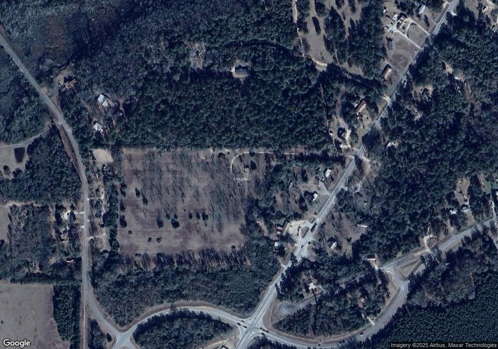
Map
Nearby Homes
- 562 W Anderson St
- 432 Clifton Bradley Dr
- Whitewater Rd
- Whitewater Rd
- 0 Georgia 49
- 204 Jordan St
- 4265 Georgia 49
- 110 Head Rd Unit LotWP001
- 45 Oakwood Dr
- 2668 Coogle Rd
- 511 Forsyth St
- 399 Travelers Rest Rd
- 326 N Dooly St
- 103 E Artesian Ave
- 514 Patricia Dr
- 100 Minor Ave
- 504 Patricia Dr
- 510 Patricia Dr
- 416 Engram St
- 803 Vienna Rd
- 1826 Ga Highway 49 S
- 1877 Ga Highway 49 S
- 1951 Ga Highway 49 S
- 1784 Ga Highway 49 S
- 1766 Ga Highway 26 W
- 1766 Georgia 26
- 323 Brookstone Dr
- 249 Brookstone Dr
- 1781 Ga Highway 49 S
- 1696 Ga Highway 26 W
- 1189 Cooks Mill Rd
- 1249 Cooks Mill Rd
- 1211 Cooks Mill Rd
- 1755 Ga Highway 26 W
- 1180 Cooks Mill Rd
- 1198 Cooks Mill Rd
- 0 Highway State Rte 26 W Unit LL 193 7232615
- 1218 Cooks Mill Rd
- 1674 Ga Highway 49 S
- 1025 Cooks Mill Rd