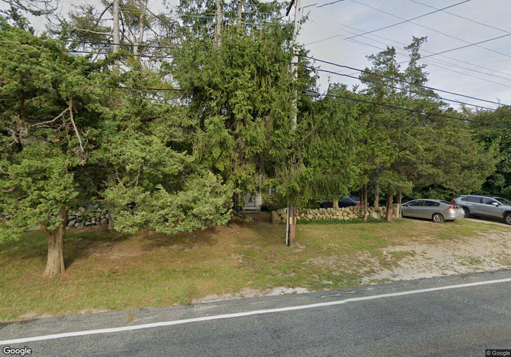
1846 Main Rd Westport Point, MA 02791
Westport Point NeighborhoodEstimated Value: $698,000 - $977,000
2
Beds
--
Bath
1,260
Sq Ft
$683/Sq Ft
Est. Value
About This Home
This home is located at 1846 Main Rd, Westport Point, MA 02791 and is currently estimated at $860,112, approximately $682 per square foot. 1846 Main Rd is a home with nearby schools including Alice A. Macomber Primary School, Westport Elementary School, and Westport Middle-High School.
Ownership History
Date
Name
Owned For
Owner Type
Purchase Details
Closed on
Mar 29, 2018
Sold by
Moxon Nancy P
Bought by
Candlewood 2018 Nt and Moxon
Current Estimated Value
Purchase Details
Closed on
Jun 19, 2007
Sold by
Candlewood Rt
Bought by
Moxon Nancy P
Create a Home Valuation Report for This Property
The Home Valuation Report is an in-depth analysis detailing your home's value as well as a comparison with similar homes in the area
Home Values in the Area
Average Home Value in this Area
Purchase History
| Date | Buyer | Sale Price | Title Company |
|---|---|---|---|
| Candlewood 2018 Nt | -- | -- | |
| Candlewood 2018 Nt | -- | -- | |
| Moxon Nancy P | -- | -- | |
| Moxon Nancy P | -- | -- |
Source: Public Records
Tax History Compared to Growth
Tax History
| Year | Tax Paid | Tax Assessment Tax Assessment Total Assessment is a certain percentage of the fair market value that is determined by local assessors to be the total taxable value of land and additions on the property. | Land | Improvement |
|---|---|---|---|---|
| 2025 | $5,857 | $786,200 | $614,100 | $172,100 |
| 2024 | $5,445 | $704,400 | $535,900 | $168,500 |
| 2023 | $5,204 | $637,700 | $478,900 | $158,800 |
| 2022 | $4,333 | $557,200 | $428,500 | $128,700 |
| 2021 | $4,333 | $502,700 | $372,300 | $130,400 |
| 2020 | $4,112 | $487,800 | $357,400 | $130,400 |
| 2019 | $3,821 | $462,000 | $340,900 | $121,100 |
| 2018 | $2,859 | $470,400 | $366,200 | $104,200 |
| 2017 | $3,762 | $472,000 | $366,200 | $105,800 |
| 2016 | $3,699 | $467,600 | $366,200 | $101,400 |
| 2015 | $3,769 | $475,300 | $378,000 | $97,300 |
Source: Public Records
Map
Nearby Homes
- 1881 Main Rd
- 1749 Main Rd
- 1702J Drift Rd
- 1702 Drift Rd
- 1580 Main Rd
- 1346 Main Rd Unit B
- 99 Sylvia Ln
- 19 Seabury Ln
- 189 Brayton Point Rd
- 304 Brayton Point Rd
- 255 John Dyer Rd
- 238-242 E Beach Rd
- 225 Hixbridge Rd
- 920 Drift Rd
- 245 John Dyer Rd
- 17 Quail Trail
- Lot 2 Horseneck Rd
- 101 Adamsville Rd
- 837 Main Rd
- 2 Slades Farm Ln
- 1800 Main Rd
- 1838 Main Rd
- 1847 Main Rd
- 1856 Main Rd
- 1835 Main Road U: Summer Rental
- 1834 Main Rd
- 1835 Main Rd
- 1835 Main Rd
- 1847 Main Rd
- 1847 Main Rd Unit VAC RENTAL
- 1847 Main Rd Unit WINTER RENT
- 1853 Main Rd
- 1831 Main Rd
- 21 Cape Bial Ln
- 1865 Main Rd
- 15 Cape Bial Ln
- 1824 Main Rd
- 6 Cape Bial Ln Unit FALL RENTAL
- 6 Cape Bial Ln Unit WEEKLY
- 6 Cape Bial Ln