184681 Us Highway 81 Comanche, OK 73529
Estimated Value: $322,000 - $520,305
3
Beds
2
Baths
2,074
Sq Ft
$198/Sq Ft
Est. Value
About This Home
This home is located at 184681 Us Highway 81, Comanche, OK 73529 and is currently estimated at $409,826, approximately $197 per square foot. 184681 Us Highway 81 is a home located in Stephens County with nearby schools including Comanche Elementary School, Comanche Middle School, and Comanche High School.
Ownership History
Date
Name
Owned For
Owner Type
Purchase Details
Closed on
Jul 24, 2008
Sold by
Custer Joe L and Custer Becky J
Bought by
Brooks Kenneth E and Brooks Deanna K
Current Estimated Value
Home Financials for this Owner
Home Financials are based on the most recent Mortgage that was taken out on this home.
Original Mortgage
$214,400
Outstanding Balance
$140,611
Interest Rate
6.4%
Mortgage Type
Purchase Money Mortgage
Estimated Equity
$269,215
Purchase Details
Closed on
Sep 6, 2005
Sold by
Kirkpatrick Lark J and Kirkpatrick Verby L
Bought by
Dean Noemi and Dean Robert
Home Financials for this Owner
Home Financials are based on the most recent Mortgage that was taken out on this home.
Original Mortgage
$105,000
Interest Rate
7.25%
Mortgage Type
Adjustable Rate Mortgage/ARM
Create a Home Valuation Report for This Property
The Home Valuation Report is an in-depth analysis detailing your home's value as well as a comparison with similar homes in the area
Home Values in the Area
Average Home Value in this Area
Purchase History
| Date | Buyer | Sale Price | Title Company |
|---|---|---|---|
| Brooks Kenneth E | $268,000 | None Available | |
| Dean Noemi | $105,000 | Nations Title |
Source: Public Records
Mortgage History
| Date | Status | Borrower | Loan Amount |
|---|---|---|---|
| Open | Brooks Kenneth E | $214,400 | |
| Previous Owner | Dean Noemi | $105,000 |
Source: Public Records
Tax History Compared to Growth
Tax History
| Year | Tax Paid | Tax Assessment Tax Assessment Total Assessment is a certain percentage of the fair market value that is determined by local assessors to be the total taxable value of land and additions on the property. | Land | Improvement |
|---|---|---|---|---|
| 2025 | $2,986 | $34,966 | $799 | $34,167 |
| 2024 | $2,986 | $33,948 | $776 | $33,172 |
| 2023 | $2,896 | $32,959 | $668 | $32,291 |
| 2022 | $2,846 | $33,419 | $668 | $32,751 |
| 2021 | $2,816 | $31,501 | $668 | $30,833 |
| 2020 | $2,631 | $29,718 | $668 | $29,050 |
| 2019 | $2,540 | $27,414 | $695 | $26,719 |
| 2018 | $2,442 | $27,318 | $695 | $26,623 |
| 2017 | $1,926 | $24,731 | $695 | $24,036 |
| 2016 | $1,728 | $21,573 | $695 | $20,878 |
| 2015 | $1,585 | $19,206 | $695 | $18,511 |
| 2014 | $1,585 | $19,206 | $695 | $18,511 |
Source: Public Records
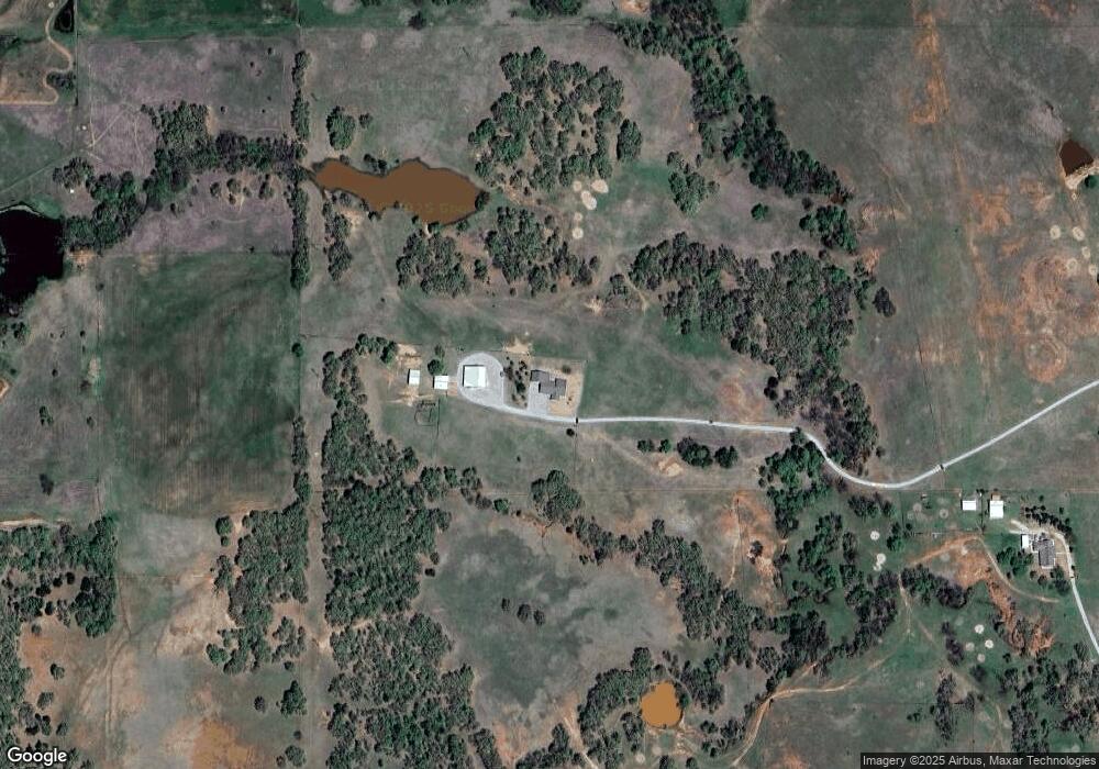
Map
Nearby Homes
- ? N 2800 Rd
- 000 Doctor Pepper Rd
- 183023 N 2790 Rd
- TBD E 1840 Rd
- 281477 Doctor Pepper Rd
- 303 N 8th St
- 611 611 S 6th St
- 508 Wilson Ave
- 511 Wilson Ave
- 500 Wilson Ave
- 0 Oklahoma 53
- 283133 E Hiway 53
- Rt Rt 2
- NO ADDRESS No Address E Rockwood Dr
- 185752 State Hwy 81
- 180163 Larue Dr
- 282096 Andrews Dr
- 280350 E 1780 Rd
- 181473 N 2850 Rd
- 9740 E 1880 Rd
- 184364 Us Highway 81
- 280122 State Highway 53
- 284271 State Highway 53
- 228 Rr 1
- 280101 State Highway 53
- 280195 State Highway 53
- 280195 State Highway 53
- 280255 State Highway 53
- 280222 State Highway 53
- 280255 State Highway 53
- 280268 State Highway 53
- 232A Rr 1
- 223 Rr 1
- 221 Rr 1
- 54 Rr 3
- 279933 State Highway 53
- 279900 State Highway 53
- 279933 State Highway 53
- 219 Rr 1
- 51 Rr 3