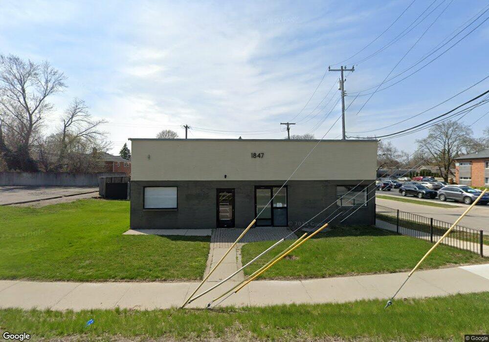
1847 N Main St Unit A Royal Oak, MI 48073
Estimated Value: $365,000
--
Bed
--
Bath
2,403
Sq Ft
$152/Sq Ft
Est. Value
About This Home
This home is located at 1847 N Main St Unit A, Royal Oak, MI 48073 and is currently priced at $365,000, approximately $151 per square foot. 1847 N Main St Unit A is a home located in Oakland County with nearby schools including Northwood Elementary School, Royal Oak Middle School, and Royal Oak High School.
Ownership History
Date
Name
Owned For
Owner Type
Purchase Details
Closed on
Dec 29, 2023
Sold by
2000 Edg Llc
Bought by
1847 Edg Llc
Current Estimated Value
Purchase Details
Closed on
Jul 23, 2013
Sold by
Edwards Development Group Inc
Bought by
2000 Edg Llc
Home Financials for this Owner
Home Financials are based on the most recent Mortgage that was taken out on this home.
Original Mortgage
$150,000
Interest Rate
3.93%
Mortgage Type
Commercial
Purchase Details
Closed on
Dec 8, 2008
Sold by
Edwards Robert
Bought by
Edwards Development Group Inc
Purchase Details
Closed on
Dec 16, 1997
Sold by
Edwards Robert
Bought by
Edwards Development Grp Inc
Create a Home Valuation Report for This Property
The Home Valuation Report is an in-depth analysis detailing your home's value as well as a comparison with similar homes in the area
Home Values in the Area
Average Home Value in this Area
Purchase History
| Date | Buyer | Sale Price | Title Company |
|---|---|---|---|
| 1847 Edg Llc | -- | None Listed On Document | |
| 1847 Edg Llc | -- | None Listed On Document | |
| 2000 Edg Llc | -- | Title Source Inc | |
| Edwards Development Group Inc | -- | None Available | |
| Edwards Development Group Inc | -- | None Available | |
| Edwards Development Grp Inc | -- | -- |
Source: Public Records
Mortgage History
| Date | Status | Borrower | Loan Amount |
|---|---|---|---|
| Previous Owner | 2000 Edg Llc | $150,000 |
Source: Public Records
Tax History Compared to Growth
Tax History
| Year | Tax Paid | Tax Assessment Tax Assessment Total Assessment is a certain percentage of the fair market value that is determined by local assessors to be the total taxable value of land and additions on the property. | Land | Improvement |
|---|---|---|---|---|
| 2024 | $6,774 | $254,980 | $0 | $0 |
| 2022 | $7,387 | $227,370 | $0 | $0 |
| 2020 | $6,534 | $157,980 | $0 | $0 |
| 2018 | $7,387 | $131,480 | $0 | $0 |
| 2017 | $6,709 | $131,480 | $0 | $0 |
| 2015 | -- | $121,150 | $0 | $0 |
| 2014 | -- | $115,330 | $0 | $0 |
| 2011 | -- | $123,220 | $0 | $0 |
Source: Public Records
Map
Nearby Homes
- 127 La Plaza Ct
- 227 W Houstonia Ave
- 1833 N Washington Ave
- 1821 N Washington Ave
- 1828 N Lafayette Ave
- 2115 Marywood Dr
- 508 W Houstonia Ave
- 334 Marlin Ave
- 3316 Vinsetta Blvd
- 3303 Vinsetta Blvd
- 512 Marlin Ave
- 1935 Brookwood Ave
- 528 Marlin Ave
- 1944 Brookwood Ave
- 719 W 12 Mile Rd
- 626 Fairway Dr
- 817 Magnolia Ave
- 436 Girard Ave
- 320 Catalpa Dr
- 912 Woodsboro Dr
- 1847 N Main St Unit A
- 1847 N Main St Unit B
- 1847 N Main St
- LOT 1 Mary
- 1842 N Center St
- 2 Mary Ave
- 1838 N Center St
- 1844 N Center St
- 1832 N Center St
- 1834 N Center St
- 1903, 1909 1915 1921 N Main St
- 1830 N Center St
- 1828 N Center St
- 1903 N Main St
- 1903 N Main St
- 1822 N Center St
- 1824 N Center St
- 1845 N Center St
- 1866 N Main St
- 1833 N Center St