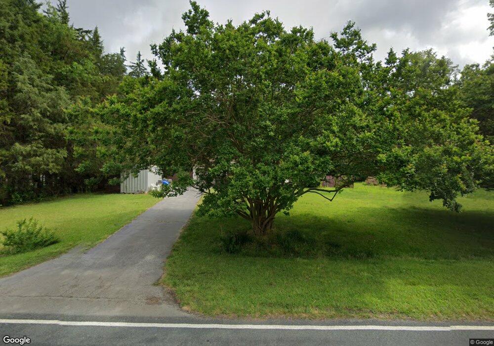
1847 Pearidge Rd Angier, NC 27501
Estimated Value: $239,000 - $296,000
3
Beds
1
Bath
1,084
Sq Ft
$245/Sq Ft
Est. Value
About This Home
This home is located at 1847 Pearidge Rd, Angier, NC 27501 and is currently estimated at $265,085, approximately $244 per square foot. 1847 Pearidge Rd is a home located in Harnett County with nearby schools including Angier Elementary School, North Harnett Primary School, and Harnett Central Middle School.
Ownership History
Date
Name
Owned For
Owner Type
Purchase Details
Closed on
Aug 20, 2020
Sold by
King Michael and King Alison
Bought by
Sullivan Michael Linwood and Sullivan Deana Marie
Current Estimated Value
Home Financials for this Owner
Home Financials are based on the most recent Mortgage that was taken out on this home.
Original Mortgage
$157,102
Outstanding Balance
$139,101
Interest Rate
2.9%
Mortgage Type
FHA
Estimated Equity
$125,984
Purchase Details
Closed on
Aug 31, 2005
Sold by
Fenton Michael D and Fenton Gladys M
Bought by
Conklin Albert Hudson and Conklin Marianne C
Home Financials for this Owner
Home Financials are based on the most recent Mortgage that was taken out on this home.
Original Mortgage
$55,000
Interest Rate
5.77%
Mortgage Type
New Conventional
Create a Home Valuation Report for This Property
The Home Valuation Report is an in-depth analysis detailing your home's value as well as a comparison with similar homes in the area
Home Values in the Area
Average Home Value in this Area
Purchase History
| Date | Buyer | Sale Price | Title Company |
|---|---|---|---|
| Sullivan Michael Linwood | $160,000 | None Available | |
| Conklin Albert Hudson | $95,000 | None Available |
Source: Public Records
Mortgage History
| Date | Status | Borrower | Loan Amount |
|---|---|---|---|
| Open | Sullivan Michael Linwood | $157,102 | |
| Previous Owner | Conklin Albert Hudson | $55,000 |
Source: Public Records
Tax History Compared to Growth
Tax History
| Year | Tax Paid | Tax Assessment Tax Assessment Total Assessment is a certain percentage of the fair market value that is determined by local assessors to be the total taxable value of land and additions on the property. | Land | Improvement |
|---|---|---|---|---|
| 2025 | $1,294 | $181,532 | $0 | $0 |
| 2024 | $1,312 | $181,532 | $0 | $0 |
| 2023 | $1,294 | $181,532 | $0 | $0 |
| 2022 | $759 | $181,532 | $0 | $0 |
| 2021 | $759 | $82,230 | $0 | $0 |
| 2020 | $759 | $82,230 | $0 | $0 |
| 2019 | $744 | $82,230 | $0 | $0 |
| 2018 | $744 | $82,230 | $0 | $0 |
| 2017 | $744 | $82,230 | $0 | $0 |
| 2016 | $782 | $86,840 | $0 | $0 |
| 2015 | $426 | $86,840 | $0 | $0 |
| 2014 | $426 | $86,840 | $0 | $0 |
Source: Public Records
Map
Nearby Homes
- 2251 Pearidge Rd
- 37 Cultivator Ct
- 54 Cultivator Ct
- 137 Cultivator Ct
- 26 Cultivator Ct
- 152 Cultivator Ct
- 35 Ashley Oaks Ct
- 57 Cultivator Ct
- 86 Ashley Oaks Ct
- 144 Pearidge Rd
- 77 Cultivator Ct
- 28 White Hart Ct
- 368 Denali Dr
- 297 Crop Rd
- 422 Grading Stick Ct
- 306 Golden Leaf Farms Rd
- 760 Shea Hill Dr
- 761 Shea Hill Dr
- 744 Shea Hill Dr
- 748 Shea Hill Dr
- 0 Pearidge Rd Unit 21 955412
- 0 Pearidge Rd
- 1817 Pearidge Rd
- 1830 Pearidge Rd
- 1920 Pearidge Rd
- 11454 Nc 210 N
- 1981 Pearidge Rd
- 2001 Pearidge Rd
- 2080 Pearidge Rd
- 2153 Pearidge Rd
- 11264 Nc 210 N
- 2158 Pearidge Rd
- 2193 Pearidge Rd
- 11352 Nc 210 N
- 11378 Nc 210 N
- 2177 Pearidge Rd
- 154 Rachel Dr
- 11400 Nc 210 N
- 2251 Pea Ridge Rd
- 10876 Nc 210 N
