1847 Robinson Rd Dahlonega, GA 30533
Estimated Value: $453,000 - $773,441
4
Beds
3
Baths
3,998
Sq Ft
$153/Sq Ft
Est. Value
About This Home
This home is located at 1847 Robinson Rd, Dahlonega, GA 30533 and is currently estimated at $612,147, approximately $153 per square foot. 1847 Robinson Rd is a home located in Lumpkin County with nearby schools including Clay County Middle School and Lumpkin County High School.
Ownership History
Date
Name
Owned For
Owner Type
Purchase Details
Closed on
Apr 2, 2014
Sold by
Ahrendt Carla M
Bought by
Ahrendt Carla M
Current Estimated Value
Purchase Details
Closed on
Oct 27, 2005
Sold by
Carla Sheriff M
Bought by
Ahrendt Carla M
Purchase Details
Closed on
Jul 22, 2004
Sold by
Sheriff Paul C
Bought by
Sheriff Carla M
Purchase Details
Closed on
Dec 10, 1999
Sold by
Mills Steven
Bought by
Sheriff Paul C
Purchase Details
Closed on
Jun 12, 1997
Sold by
Enloe James J
Bought by
Mills Steven
Purchase Details
Closed on
Mar 2, 1992
Bought by
Enloe James J
Create a Home Valuation Report for This Property
The Home Valuation Report is an in-depth analysis detailing your home's value as well as a comparison with similar homes in the area
Home Values in the Area
Average Home Value in this Area
Purchase History
| Date | Buyer | Sale Price | Title Company |
|---|---|---|---|
| Ahrendt Carla M | -- | -- | |
| Ahrendt Carla M | -- | -- | |
| Sheriff Carla M | -- | -- | |
| Sheriff Paul C | $275,000 | -- | |
| Mills Steven | $156,000 | -- | |
| Enloe James J | $31,000 | -- |
Source: Public Records
Tax History Compared to Growth
Tax History
| Year | Tax Paid | Tax Assessment Tax Assessment Total Assessment is a certain percentage of the fair market value that is determined by local assessors to be the total taxable value of land and additions on the property. | Land | Improvement |
|---|---|---|---|---|
| 2024 | $4,292 | $187,685 | $34,365 | $153,320 |
| 2023 | $3,694 | $176,589 | $31,241 | $145,348 |
| 2022 | $3,989 | $163,114 | $26,034 | $137,080 |
| 2021 | $3,669 | $145,327 | $26,034 | $119,293 |
| 2020 | $3,687 | $141,768 | $24,946 | $116,822 |
| 2019 | $3,721 | $141,768 | $24,946 | $116,822 |
| 2018 | $3,557 | $127,364 | $24,946 | $102,418 |
| 2017 | $3,577 | $125,636 | $24,946 | $100,690 |
| 2016 | $3,371 | $114,737 | $24,946 | $89,791 |
| 2015 | $3,163 | $114,738 | $24,946 | $89,791 |
| 2014 | $3,163 | $121,993 | $31,070 | $90,924 |
| 2013 | -- | $123,125 | $31,069 | $92,056 |
Source: Public Records
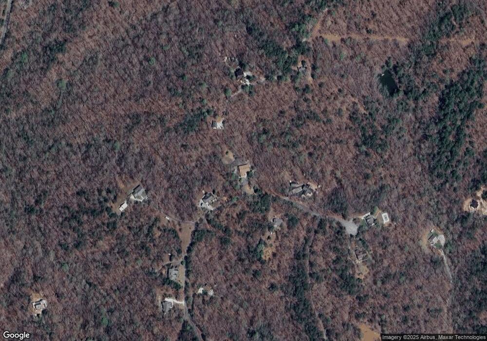
Map
Nearby Homes
- 245 Perkins Rd
- 2041 Long Branch Rd
- 2041 Long Branch Rd Unit TRACT 2A
- 205 Perkins Rd
- 201 Perkins Rd
- 1376 Robinson Rd
- 72 Rustin Ridge Unit 276
- 58 Rustin Ridge Unit 278
- 42 Rustin Ridge Unit 285
- 0 Stamp Mill Dr
- 133 Stamp Mill Dr
- 0 Gold Crest Dr Unit 7623108
- 0 Gold Crest Dr Unit 10373986
- 176 Stamp Mill Ln
- 134 Prospector Ridge
- 1364 Birch River Dr
- 1259 Birch River Dr
- 270 Prospector Ridge
- 48 Kasten Run
- 38 Cavender Run
- 1805 Robinson Rd
- 1878 Robinson Rd
- 1909 Robinson Rd
- 354 Plateau Rd
- 1779 Robinson Rd
- 259 Plateau Rd
- 600 Chestnut Ridge Dr
- 1733 Robinson Rd
- 1951 Robinson Rd
- 1950 Robinson Rd
- 514 Chestnut
- 1683 Robinson Rd
- 514 Chestnut Ridge Dr
- 500 Chestnut Ridge Dr
- 445 Chestnut Ridge Dr
- 180 Crawshaw Rd Unit 3
- 180 Crawshaw Rd
- 438 Chestnut Ridge Dr
- 1547 Robinson Rd
- 220 Crawshaw Rd