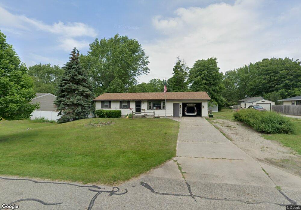
1847 Vans Blvd Holland, MI 49423
Estimated Value: $218,000 - $293,000
3
Beds
1
Bath
1,008
Sq Ft
$264/Sq Ft
Est. Value
About This Home
This home is located at 1847 Vans Blvd, Holland, MI 49423 and is currently estimated at $266,137, approximately $264 per square foot. 1847 Vans Blvd is a home located in Ottawa County with nearby schools including Holland High School, Vanderbilt Charter Academy, and Pine Ridge Christian School.
Ownership History
Date
Name
Owned For
Owner Type
Purchase Details
Closed on
Dec 9, 2024
Sold by
Burch Rosalyn A
Bought by
Thurston Kameron and Thurston Arianna
Current Estimated Value
Home Financials for this Owner
Home Financials are based on the most recent Mortgage that was taken out on this home.
Original Mortgage
$219,290
Outstanding Balance
$217,565
Interest Rate
6.79%
Mortgage Type
VA
Estimated Equity
$48,572
Create a Home Valuation Report for This Property
The Home Valuation Report is an in-depth analysis detailing your home's value as well as a comparison with similar homes in the area
Home Values in the Area
Average Home Value in this Area
Purchase History
| Date | Buyer | Sale Price | Title Company |
|---|---|---|---|
| Thurston Kameron | $214,675 | Clearstream Title |
Source: Public Records
Mortgage History
| Date | Status | Borrower | Loan Amount |
|---|---|---|---|
| Open | Thurston Kameron | $219,290 |
Source: Public Records
Tax History Compared to Growth
Tax History
| Year | Tax Paid | Tax Assessment Tax Assessment Total Assessment is a certain percentage of the fair market value that is determined by local assessors to be the total taxable value of land and additions on the property. | Land | Improvement |
|---|---|---|---|---|
| 2025 | $1,743 | $123,700 | $0 | $0 |
| 2024 | $1,138 | $114,400 | $0 | $0 |
| 2023 | $1,091 | $102,600 | $0 | $0 |
| 2022 | $1,560 | $90,000 | $0 | $0 |
| 2021 | $1,522 | $80,400 | $0 | $0 |
| 2020 | $1,527 | $75,900 | $0 | $0 |
| 2019 | $1,562 | $70,700 | $0 | $0 |
| 2018 | $1,434 | $61,000 | $0 | $0 |
| 2017 | $1,423 | $61,000 | $0 | $0 |
| 2016 | $1,413 | $56,600 | $0 | $0 |
| 2015 | -- | $51,900 | $0 | $0 |
| 2014 | -- | $49,500 | $0 | $0 |
Source: Public Records
Map
Nearby Homes
- 1933 S Shore Dr
- 1981 N Shorewood Ln Unit 6
- 1991 N Shorewood Ln Unit 4
- The Andover 3 Plan at Shorewood Lane
- The Andover 2 Plan at Shorewood Lane
- Andover Plan at Shorewood Lane
- 1982 S Shore Dr Unit 2
- 1992 S Shore Dr Unit 2
- 1992 S Shore Dr Unit 3
- 1995 N Shorewood Ln Unit 2
- 1761 S Shore Dr
- 1704 Summit St
- 645 Harrington Ave
- 6579 Partridge Ln
- 6621 Forest Beach Dr
- 1504 S Shore Dr
- 4732 Northern Ct Unit 18
- 4679 Forest Ridge Dr Unit 29
- 2312 Maksaba Trail
- 4681 Forest Ridge Dr
- 1853 Vans Blvd
- 1840 Wolverine St
- 725 Saunders Ave
- 1826 Wolverine St
- 1831 Vans Blvd
- 1860 Vans Blvd
- 1842 Vans Blvd
- 1824 Wolverine St
- 1830 Vans Blvd
- 700 Saunders Ave
- 700 Saunders Ave
- 732 Coolidge Ave
- 736 Saunders Ave
- 746 Saunders Ave
- 720 Coolidge Ave
- 715 Saunders Ave
- 1820 Wolverine St
- 1841 W 32nd St
- 1820 Vans Blvd
- 709 Anderson Ave