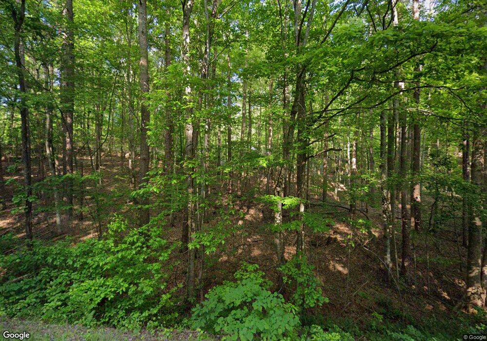
Estimated Value: $256,000 - $665,000
3
Beds
2
Baths
1,536
Sq Ft
$278/Sq Ft
Est. Value
About This Home
This home is located at 1848 Apple Pie Ridge Rd, Alto, GA 30510 and is currently estimated at $427,529, approximately $278 per square foot. 1848 Apple Pie Ridge Rd is a home located in Banks County with nearby schools including Banks County Primary School, Banks County Elementary School, and Banks County Middle School.
Ownership History
Date
Name
Owned For
Owner Type
Purchase Details
Closed on
Aug 2, 2010
Sold by
Apple Pie Ridge Properties Llc
Bought by
Atlas Ga Ii Spe Llc
Current Estimated Value
Purchase Details
Closed on
Oct 3, 2006
Sold by
Apple Pie Ridge Partners L
Bought by
Granny Smith Properties Inc
Purchase Details
Closed on
May 26, 2006
Sold by
Clutterbuck Joseph A
Bought by
Clutterbuck Joseph A and Flick Sandra L
Purchase Details
Closed on
May 9, 2006
Sold by
Apple Pie Ridge Properties
Bought by
Berkowitz Joseph and Berkowitz Sharon Z
Purchase Details
Closed on
Apr 28, 2006
Sold by
Apple Pie Ridge Properties
Bought by
Leagan William H and Leagan Natalie
Create a Home Valuation Report for This Property
The Home Valuation Report is an in-depth analysis detailing your home's value as well as a comparison with similar homes in the area
Home Values in the Area
Average Home Value in this Area
Purchase History
| Date | Buyer | Sale Price | Title Company |
|---|---|---|---|
| Atlas Ga Ii Spe Llc | $418,065 | -- | |
| Atlas Ga Ii Spe Llc | $290,000 | -- | |
| Granny Smith Properties Inc | -- | -- | |
| Clutterbuck Joseph A | -- | -- | |
| Berkowitz Joseph | $85,000 | -- | |
| Leagan William H | $95,000 | -- |
Source: Public Records
Tax History Compared to Growth
Tax History
| Year | Tax Paid | Tax Assessment Tax Assessment Total Assessment is a certain percentage of the fair market value that is determined by local assessors to be the total taxable value of land and additions on the property. | Land | Improvement |
|---|---|---|---|---|
| 2025 | $1,382 | $154,125 | $73,880 | $80,245 |
| 2024 | $1,382 | $146,505 | $69,329 | $77,176 |
| 2023 | $686 | $123,982 | $66,704 | $57,278 |
| 2022 | $772 | $112,431 | $69,961 | $42,470 |
| 2021 | $484 | $87,701 | $59,437 | $28,264 |
| 2020 | $474 | $73,984 | $45,720 | $28,264 |
| 2019 | $473 | $73,984 | $45,720 | $28,264 |
| 2018 | $849 | $80,318 | $52,054 | $28,264 |
Source: Public Records
Map
Nearby Homes
- 39 Planters Creek Dr
- 41 Planters Creek Dr
- 0 Planters Pointe Dr Unit 10654119
- 0 Planters Pointe Dr Unit 10636110
- 0 Planters Pointe Ln Unit 10620249
- 0 Planters Creek Dr Unit Lot 34 CM1024458
- 2154 Apple Pie Ridge Rd
- 01 Planters Pointe Dr
- 133 Lakeview Walk
- 136 Lakeview Way
- LOT 26 Whippoorwill Way
- 2484 Apple Pie Ridge Rd Unit 11 ACRES
- 603 Nix Rd
- 0 Whippoorwill Terrace Unit 10552744
- 0 Whippoorwill Terrace Unit 7605702
- 130 E Railroad Ave
- 135 Oak Terrace Dr
- 117 Oak Terrace Dr
- 0 Baldwin Heights Rd Unit 10650492
- 111 Davison St
- 1914 Apple Pie Ridge Rd
- 1883 Apple Pie Ridge Rd
- 1911 Apple Pie Ridge Rd
- 1950 Apple Pie Ridge Rd
- 0 Planters Oak Ct Unit 20057058
- 1981 Apple Pie Ridge Rd
- 108 Planters Oak Ct
- LOT 27 Planters Knoll
- 112 Planters Knoll
- 0 Planters Knoll Unit 7193965
- 0 Planters Knoll Unit 20057055
- 0 Planters Knoll Unit Lot 28 8813491
- Lot 28 Planters Knoll
- 1988 Apple Pie Ridge Rd
- 1987 Apple Pie Ridge Rd
- 118 Planters Creek Dr
- 544 Planters Creek Dr
- 1730 Apple Pie Ridge Rd
- LOT #34 Planters Creek Dr
- 000 Planters Creek Dr Unit 43
