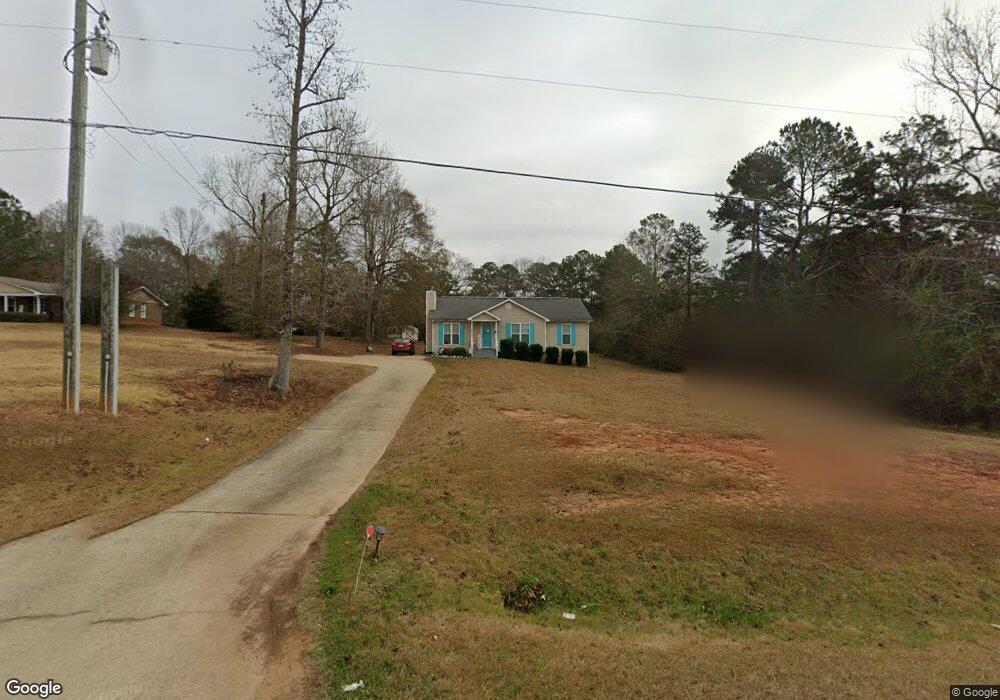
1848 Cannonville Rd Lagrange, GA 30240
Estimated Value: $180,855 - $229,000
3
Beds
2
Baths
1,246
Sq Ft
$165/Sq Ft
Est. Value
About This Home
This home is located at 1848 Cannonville Rd, Lagrange, GA 30240 and is currently estimated at $205,214, approximately $164 per square foot. 1848 Cannonville Rd is a home located in Troup County with nearby schools including Long Cane Elementary School, Berta Weathersbee Elementary School, and Whitesville Road Elementary School.
Ownership History
Date
Name
Owned For
Owner Type
Purchase Details
Closed on
Aug 26, 2021
Sold by
Garrett Rebecca A
Bought by
Nixon Shanna
Current Estimated Value
Home Financials for this Owner
Home Financials are based on the most recent Mortgage that was taken out on this home.
Original Mortgage
$89,600
Outstanding Balance
$81,529
Interest Rate
2.8%
Mortgage Type
New Conventional
Estimated Equity
$123,685
Purchase Details
Closed on
Oct 28, 2005
Sold by
Richlan Properties Unlimit
Bought by
Garrett I Joseph and Garrett Rebecca A
Home Financials for this Owner
Home Financials are based on the most recent Mortgage that was taken out on this home.
Original Mortgage
$78,750
Interest Rate
7.99%
Mortgage Type
New Conventional
Purchase Details
Closed on
Mar 5, 2004
Bought by
Richlan Properties Unlimited
Create a Home Valuation Report for This Property
The Home Valuation Report is an in-depth analysis detailing your home's value as well as a comparison with similar homes in the area
Home Values in the Area
Average Home Value in this Area
Purchase History
| Date | Buyer | Sale Price | Title Company |
|---|---|---|---|
| Nixon Shanna | $112,000 | -- | |
| Garrett I Joseph | $105,000 | -- | |
| Richlan Properties Unlimited | -- | -- |
Source: Public Records
Mortgage History
| Date | Status | Borrower | Loan Amount |
|---|---|---|---|
| Open | Nixon Shanna | $89,600 | |
| Previous Owner | Garrett I Joseph | $78,750 |
Source: Public Records
Tax History Compared to Growth
Tax History
| Year | Tax Paid | Tax Assessment Tax Assessment Total Assessment is a certain percentage of the fair market value that is determined by local assessors to be the total taxable value of land and additions on the property. | Land | Improvement |
|---|---|---|---|---|
| 2024 | $1,384 | $50,760 | $15,400 | $35,360 |
| 2023 | $1,392 | $51,040 | $15,400 | $35,640 |
| 2022 | $1,250 | $44,840 | $11,000 | $33,840 |
| 2021 | $423 | $42,760 | $11,000 | $31,760 |
| 2020 | $856 | $38,360 | $6,600 | $31,760 |
| 2019 | $872 | $38,880 | $6,600 | $32,280 |
| 2018 | $732 | $34,240 | $5,800 | $28,440 |
| 2017 | $732 | $34,240 | $5,800 | $28,440 |
| 2016 | $719 | $33,777 | $5,800 | $27,977 |
| 2015 | $674 | $32,272 | $5,800 | $26,472 |
| 2014 | $632 | $30,878 | $5,800 | $25,078 |
| 2013 | -- | $32,644 | $5,800 | $26,844 |
Source: Public Records
Map
Nearby Homes
- 0 Hanson Dr Unit 10641272
- 275 Hanson Dr
- 1248 Cannonville Rd
- 22 Freeman Rd
- 266 Glass Bridge Rd
- 103 Hawthorne Cir
- 0 Robert Hayes Rd Unit 10611067
- 288 Bradfield Dr
- 110 Hawthorne Cir
- 808 S Fling Rd
- 114 Westgate Dr
- 345 Robert Taylor Rd
- 118 Woodstream Trail
- 102 Franklin Place
- 0 Bradfield Dr Unit 10568803
- 0 Cannonville Rd
- 102 Foxdale Dr
- 119 Plymouth Dr
- 610 Ginger Cir
- 509 Connie Dr
- 1858 Cannonville Rd
- 1868 Cannonville Rd
- 1804 Cannonville Rd
- 1900 Cannonville Rd
- 1788 Cannonville Rd
- 1911 Cannonville Rd
- 1922 Cannonville Rd
- 1925 Cannonville Rd
- 6085 Old West Point Rd
- 6035 Old West Point Rd
- 1941 Cannonville Rd
- 6015 Old West Point Rd
- 6003 Old West Point Rd
- 6010 Old West Point Rd
- 1675 Cannonville Rd
- 6006 Old West Point Rd
- 5043 Old West Point Rd
- 1762 Cannonville Rd
- 6171 Old West Point Rd
- 16 Hudson Rd