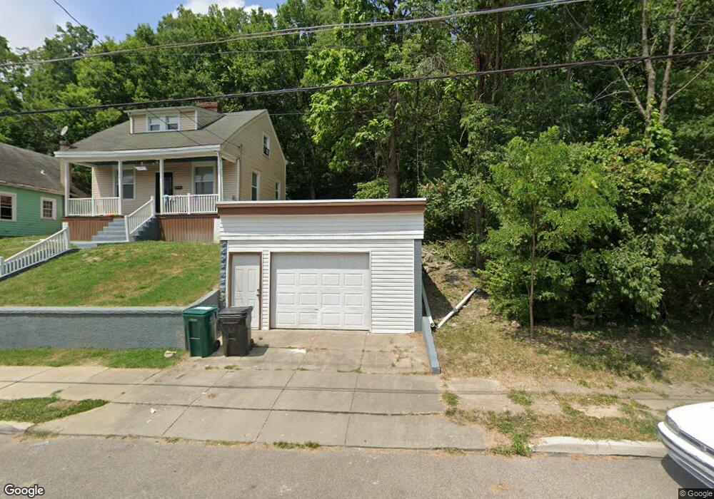
1848 Denham St Cincinnati, OH 45225
North Fairmount NeighborhoodEstimated Value: $76,000 - $92,057
--
Bed
--
Bath
--
Sq Ft
2,875
Sq Ft Lot
About This Home
This home is located at 1848 Denham St, Cincinnati, OH 45225 and is currently estimated at $84,029. 1848 Denham St is a home located in Hamilton County with nearby schools including Ethel M. Taylor Academy, Robert A. Taft Information Technology High School, and Western Hills High School.
Ownership History
Date
Name
Owned For
Owner Type
Purchase Details
Closed on
Nov 3, 2007
Sold by
Davis Kelow Gloria and Kelow Gregory
Bought by
Davis Crystal I
Current Estimated Value
Purchase Details
Closed on
Jul 12, 2007
Sold by
Va
Bought by
Davis Crystal I and Davis Velou Gloria
Purchase Details
Closed on
Nov 21, 2005
Sold by
Washington Mutual Bank Fa
Bought by
Va
Purchase Details
Closed on
Nov 15, 2005
Sold by
Anderson Lee
Bought by
Washington Mutual Fa
Create a Home Valuation Report for This Property
The Home Valuation Report is an in-depth analysis detailing your home's value as well as a comparison with similar homes in the area
Home Values in the Area
Average Home Value in this Area
Purchase History
| Date | Buyer | Sale Price | Title Company |
|---|---|---|---|
| Davis Crystal I | -- | None Available | |
| Davis Crystal I | -- | None Available | |
| Va | -- | None Available | |
| Washington Mutual Fa | $19,961 | None Available |
Source: Public Records
Tax History Compared to Growth
Tax History
| Year | Tax Paid | Tax Assessment Tax Assessment Total Assessment is a certain percentage of the fair market value that is determined by local assessors to be the total taxable value of land and additions on the property. | Land | Improvement |
|---|---|---|---|---|
| 2024 | $53 | $722 | $165 | $557 |
| 2023 | $57 | $722 | $165 | $557 |
| 2022 | $64 | $788 | $161 | $627 |
| 2021 | $60 | $788 | $161 | $627 |
| 2020 | $60 | $788 | $161 | $627 |
| 2019 | $60 | $718 | $147 | $571 |
| 2018 | $60 | $718 | $147 | $571 |
| 2017 | $58 | $718 | $147 | $571 |
| 2016 | $40 | $459 | $182 | $277 |
| 2015 | $36 | $459 | $182 | $277 |
| 2014 | $36 | $459 | $182 | $277 |
| 2013 | $36 | $452 | $179 | $273 |
Source: Public Records
Map
Nearby Homes
- 1854 Carll St
- 1808 Carll St
- 1859 Baltimore Ave
- 1797 Denham St
- 1770 Carll St
- 1965 Baltimore Ave
- 1721 Sutter Ave
- 2568 Trevor Place
- 1704 Pulte St
- 1642 Sutter Ave
- 2521 Seegar Ave
- 1646 Pulte St
- 1674 Baltimore Ave
- 2911 Moosewood Ct
- 1623 Sutter Ave
- 1871 Fairmount Ave
- 3069 Moosewood Ave
- 3065 Moosewood Ave
- 1854 Knox St
- 2652 Linden St