1848 Edwin Dr Wayland, MI 49348
Estimated Value: $216,000 - $652,000
Studio
--
Bath
--
Sq Ft
14,941
Sq Ft Lot
About This Home
This home is located at 1848 Edwin Dr, Wayland, MI 49348 and is currently estimated at $371,667. 1848 Edwin Dr is a home located in Barry County with nearby schools including Wayland High School.
Ownership History
Date
Name
Owned For
Owner Type
Purchase Details
Closed on
Sep 23, 2020
Sold by
Stokfiaz Matthew J and Stokfiaz Janice M
Bought by
Hoffman Robert Alan and Chesler Kathryn A
Current Estimated Value
Home Financials for this Owner
Home Financials are based on the most recent Mortgage that was taken out on this home.
Original Mortgage
$540,000
Outstanding Balance
$475,938
Interest Rate
2.9%
Mortgage Type
New Conventional
Estimated Equity
-$104,271
Purchase Details
Closed on
May 19, 2008
Sold by
Paragon Relocation Resources Inc
Bought by
Stokfisz Matthew J and Stokfisz Janice M
Home Financials for this Owner
Home Financials are based on the most recent Mortgage that was taken out on this home.
Original Mortgage
$417,000
Interest Rate
5.87%
Mortgage Type
Purchase Money Mortgage
Purchase Details
Closed on
Aug 30, 2005
Sold by
Smith Donald G and Smith Nancy A
Bought by
Paragon Relocation Resources Inc
Purchase Details
Closed on
Oct 24, 2003
Bought by
Stokfisz Matthew J and Stokfisz Janice M
Create a Home Valuation Report for This Property
The Home Valuation Report is an in-depth analysis detailing your home's value as well as a comparison with similar homes in the area
Home Values in the Area
Average Home Value in this Area
Purchase History
| Date | Buyer | Sale Price | Title Company |
|---|---|---|---|
| Hoffman Robert Alan | $675,000 | Sun Title Agency Of Mi Llc | |
| Stokfisz Matthew J | $470,000 | None Available | |
| Paragon Relocation Resources Inc | $642,500 | None Available | |
| Stokfisz Matthew J | $617,500 | -- | |
| Stokfisz Matthew J | $617,500 | -- |
Source: Public Records
Mortgage History
| Date | Status | Borrower | Loan Amount |
|---|---|---|---|
| Open | Hoffman Robert Alan | $540,000 | |
| Previous Owner | Stokfisz Matthew J | $417,000 |
Source: Public Records
Tax History
| Year | Tax Paid | Tax Assessment Tax Assessment Total Assessment is a certain percentage of the fair market value that is determined by local assessors to be the total taxable value of land and additions on the property. | Land | Improvement |
|---|---|---|---|---|
| 2025 | $550 | $48,100 | $0 | $0 |
| 2024 | $550 | $42,300 | $0 | $0 |
| 2023 | $513 | $23,000 | $0 | $0 |
| 2022 | $513 | $23,000 | $0 | $0 |
| 2021 | $513 | $17,400 | $0 | $0 |
| 2020 | $475 | $16,100 | $0 | $0 |
| 2019 | $475 | $16,400 | $0 | $0 |
| 2018 | $471 | $17,000 | $7,500 | $9,500 |
| 2017 | $471 | $17,000 | $0 | $0 |
| 2016 | -- | $17,200 | $0 | $0 |
| 2015 | -- | $16,100 | $0 | $0 |
| 2014 | -- | $16,100 | $0 | $0 |
Source: Public Records
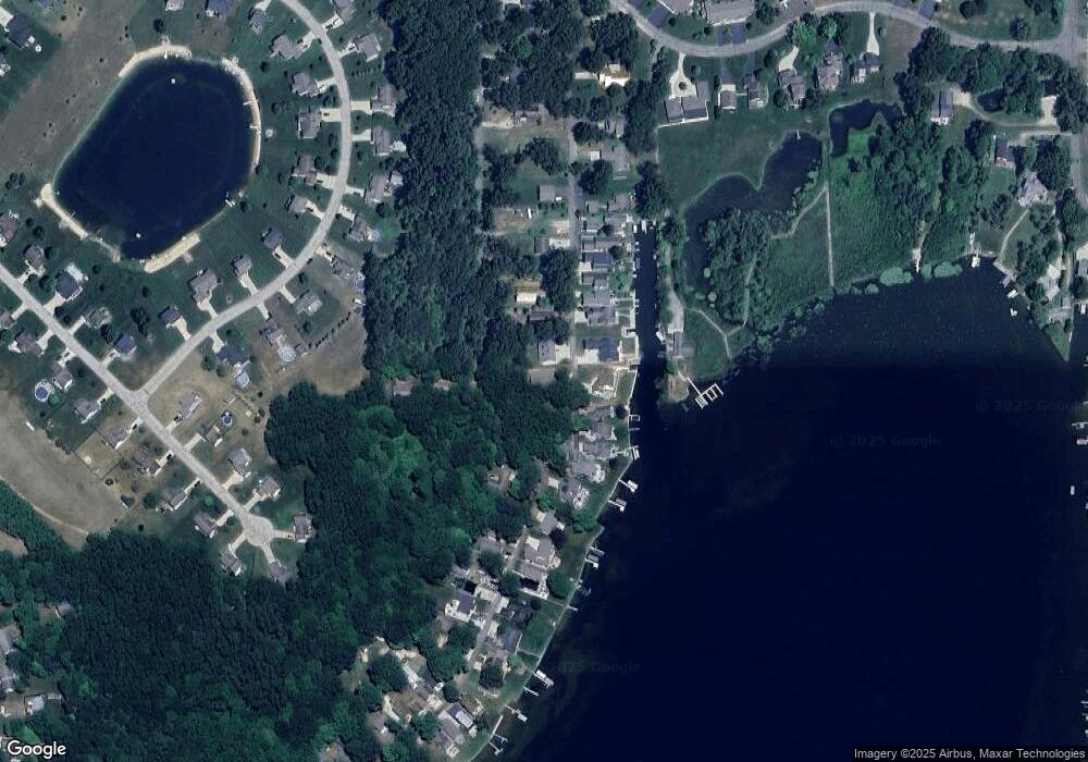
Map
Nearby Homes
- 1736 Parker Dr
- 2724 Pasture Ln
- 1230 Lynn Dr
- 710 Edgecreek Dr
- 3179 Sandy Beach St
- 12145 Cobb Lake Rd
- 250 Shore Dr
- 2919 Beatrice Ave
- 2919 Beatrice Ave
- 4386 Lynden Rd
- 12720 S Grey Ct
- 724 Spruce Hollow Dr
- 12926 Yost St
- 12857 Michael Dr Unit 49
- 1391 Shadowridge Dr
- 5289 Marsh Rd
- V/L Wildwood Rd
- 36 S Yankee Springs Rd
- 10332 Sunridge Ct Unit 4
- 11403 Rita Dr
- 1786 Edwin Dr
- 1847 Edwin Dr
- 1855 Edwin Dr
- 1833 Edwin Dr
- 1875 Edwin Dr
- 1801 Edwin Dr
- 1883 Edwin Dr
- 1899 Archwood Dr
- 1797 Edwin Dr
- 999999 Archwood Dr
- 1785 Edwin Dr
- 1938 Archwood Dr
- 1905 Archwood Dr
- 1781 Edwin Dr
- 0 Archwood Dr
- 1946 Archwood Dr
- 1775 Edwin Dr
- 1919 Archwood Dr
- 1771 Edwin Dr
- 1948 Archwood Dr
Your Personal Tour Guide
Ask me questions while you tour the home.