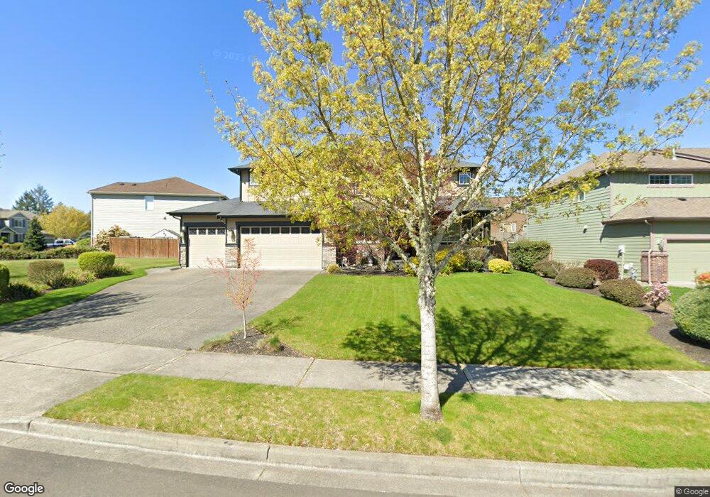
1848 Miller Dr Dupont, WA 98327
Estimated Value: $845,413 - $985,000
5
Beds
3
Baths
3,341
Sq Ft
$270/Sq Ft
Est. Value
About This Home
This home is located at 1848 Miller Dr, Dupont, WA 98327 and is currently estimated at $901,103, approximately $269 per square foot. 1848 Miller Dr is a home located in Pierce County with nearby schools including Chloe Clark Elementary School, Saltars Point Elementary School, and Pioneer Middle School.
Ownership History
Date
Name
Owned For
Owner Type
Purchase Details
Closed on
Feb 23, 2008
Sold by
Centex Homes
Bought by
Pierce Jason M and Pierce Maria L
Current Estimated Value
Home Financials for this Owner
Home Financials are based on the most recent Mortgage that was taken out on this home.
Original Mortgage
$512,237
Outstanding Balance
$311,958
Interest Rate
5.41%
Mortgage Type
VA
Estimated Equity
$589,145
Create a Home Valuation Report for This Property
The Home Valuation Report is an in-depth analysis detailing your home's value as well as a comparison with similar homes in the area
Home Values in the Area
Average Home Value in this Area
Purchase History
| Date | Buyer | Sale Price | Title Company |
|---|---|---|---|
| Pierce Jason M | $569,152 | Pnwt |
Source: Public Records
Mortgage History
| Date | Status | Borrower | Loan Amount |
|---|---|---|---|
| Open | Pierce Jason M | $512,237 |
Source: Public Records
Tax History Compared to Growth
Tax History
| Year | Tax Paid | Tax Assessment Tax Assessment Total Assessment is a certain percentage of the fair market value that is determined by local assessors to be the total taxable value of land and additions on the property. | Land | Improvement |
|---|---|---|---|---|
| 2025 | $6,289 | $799,500 | $260,000 | $539,500 |
| 2024 | $6,289 | $805,300 | $250,400 | $554,900 |
| 2023 | $6,289 | $782,400 | $252,400 | $530,000 |
| 2022 | $6,326 | $799,200 | $252,400 | $546,800 |
| 2021 | $6,052 | $601,800 | $160,300 | $441,500 |
| 2019 | $5,406 | $553,700 | $133,600 | $420,100 |
| 2018 | $5,973 | $529,300 | $133,600 | $395,700 |
| 2017 | $5,375 | $512,200 | $120,400 | $391,800 |
| 2016 | $5,143 | $462,700 | $101,600 | $361,100 |
| 2014 | $4,796 | $457,300 | $101,600 | $355,700 |
| 2013 | $4,796 | $414,400 | $102,900 | $311,500 |
Source: Public Records
Map
Nearby Homes
- 604 Dupont Ave
- 208 Barksdale Ave
- 1151 Griggs St
- 1187 Griggs St Unit 1187
- 1613 Palisade Blvd
- 1625 Palisade Blvd
- 1451 Thompson Cir Unit 4A
- 2147 Hammond Ave Unit B10
- 2104 Palisade Blvd Unit B-7
- 2696 Erwin Ave Unit 2696
- 2176 Palisade Blvd Unit F-3
- 2198 Palisade Blvd Unit C2
- 1263 Hudson St
- 1267 Hudson St
- 1449 Bobs Hollow Ln
- 2160 Anderson Ave
- 1331 Rowan Ct Unit 1331
- 1607 Kincaid St Unit E-8
- 1337 Hudson St
- 1373 Hudson St Unit 1373
- 1860 Miller Dr
- 1836 Miller Dr
- 1868 Miller Dr
- 1822 Miller Dr
- 1283 Bell Hill Place
- 1271 Bell Hill Place
- 1857 Miller Dr
- 1861 Miller Dr
- 1295 Bell Hill Place
- 1269 Bell Hill Place
- 1874 Miller Dr
- 1853 Miller Dr
- 1865 Miller Dr
- 1843 Miller Dr
- 1839 Miller Dr
- 1869 Miller Dr
- 1835 Miller Dr
- 1873 Miller Dr
- 1831 Miller Dr
- 1877 Miller Dr