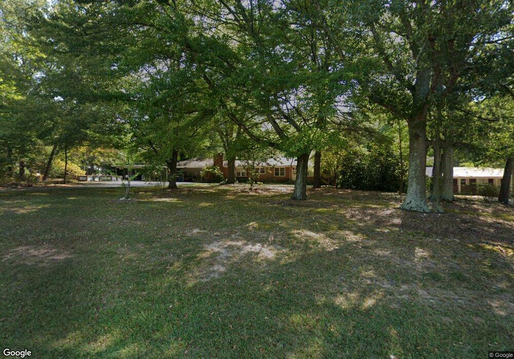
1848 S Highway 27 Carrollton, GA 30117
Estimated Value: $316,000 - $404,000
4
Beds
2
Baths
2,604
Sq Ft
$135/Sq Ft
Est. Value
About This Home
This home is located at 1848 S Highway 27, Carrollton, GA 30117 and is currently estimated at $351,491, approximately $134 per square foot. 1848 S Highway 27 is a home located in Carroll County with nearby schools including Central Elementary School, Central Middle School, and Central High School.
Ownership History
Date
Name
Owned For
Owner Type
Purchase Details
Closed on
Dec 27, 2023
Sold by
Dixon Nancy M
Bought by
Freeman Tommie M
Current Estimated Value
Purchase Details
Closed on
Nov 9, 2021
Sold by
Maxwell June G
Bought by
Maxwell June G and Maxwell William Luther
Purchase Details
Closed on
Dec 29, 2006
Sold by
Not Provided
Bought by
Maxwell June G
Purchase Details
Closed on
Aug 23, 1993
Bought by
Maxwell Billy
Create a Home Valuation Report for This Property
The Home Valuation Report is an in-depth analysis detailing your home's value as well as a comparison with similar homes in the area
Home Values in the Area
Average Home Value in this Area
Purchase History
| Date | Buyer | Sale Price | Title Company |
|---|---|---|---|
| Freeman Tommie M | -- | -- | |
| Freeman Tommie M | -- | -- | |
| Startup Lorie | -- | -- | |
| Startup Lorie | -- | -- | |
| Maxwell June G | -- | -- | |
| Maxwell June G | -- | -- | |
| Maxwell Billy | -- | -- |
Source: Public Records
Tax History Compared to Growth
Tax History
| Year | Tax Paid | Tax Assessment Tax Assessment Total Assessment is a certain percentage of the fair market value that is determined by local assessors to be the total taxable value of land and additions on the property. | Land | Improvement |
|---|---|---|---|---|
| 2024 | $389 | $100,126 | $23,502 | $76,624 |
| 2023 | $389 | $89,431 | $18,802 | $70,629 |
| 2022 | $463 | $69,257 | $12,535 | $56,722 |
| 2021 | $414 | $62,258 | $12,418 | $49,840 |
| 2020 | $357 | $54,486 | $11,290 | $43,196 |
| 2019 | $347 | $52,098 | $11,290 | $40,808 |
| 2018 | $333 | $48,301 | $10,551 | $37,750 |
| 2017 | $336 | $48,301 | $10,551 | $37,750 |
| 2016 | $336 | $48,301 | $10,551 | $37,750 |
| 2015 | $507 | $68,211 | $31,237 | $36,974 |
| 2014 | $511 | $68,212 | $31,237 | $36,974 |
Source: Public Records
Map
Nearby Homes
- 50 Azalea Trail
- 400 Stripling Chapel Rd
- 977 Whooping Creek Rd
- 50 Sue Alice Ln
- Plan 1643 at Windmill Park
- Plan 1830 at Windmill Park
- 203 Vineyard Walk Unit LOT 74
- Plan 2030 at Windmill Park
- 203 Vineyard Walk
- Plan 1727 at Windmill Park
- Plan 1400 at Windmill Park
- 113 Vineyard Walk
- 113 Vineyard Walk Unit LOT 77
- 111 Vineyard Walk
- 111 Vineyard Walk Unit LOT 78
- 116 Manor Way
- 420 Whooping Creek Rd
- 135 Gray Rd
- 605 Whooping Creek Rd
- 105 Plantation Walk
- 1848 S Highway 27
- 1848 S Highway 27
- 1848 Us Highway 27
- 1848 U S 27
- 67 Central Middle School Rd
- 1867 S Highway 27
- 1867 S Highway 27
- 1867 U S 27
- 1867 Us Highway 27
- 71 Central Middle School Rd
- 0 Stripling Chapel Rd
- 0 Stripling Chapel Rd Unit 7617015
- 0 Stripling Chapel Rd Unit 8467755
- 0 Stripling Chapel Rd Unit 8554331
- 0 Stripling Chapel Rd Unit 8442482
- 0 Stripling Chapel Rd Unit 8586649
- 0 Stripling Chapel Rd Unit 9068896
- 0 Stripling Chapel Rd Unit 9032489
- 0 Stripling Chapel Rd Unit 8593463
- 0 Stripling Chapel Rd Unit Tract 3 8802338