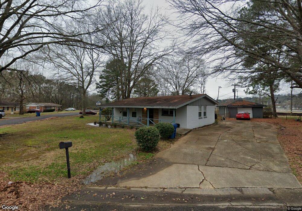
1848 Stone Rd Birmingham, AL 35228
Estimated Value: $67,000 - $88,425
2
Beds
1
Bath
957
Sq Ft
$81/Sq Ft
Est. Value
About This Home
This home is located at 1848 Stone Rd, Birmingham, AL 35228 and is currently estimated at $77,856, approximately $81 per square foot. 1848 Stone Rd is a home located in Jefferson County with nearby schools including Midfield Elementary School, Rutledge Middle School, and Midfield High School.
Ownership History
Date
Name
Owned For
Owner Type
Purchase Details
Closed on
Mar 11, 2024
Sold by
Tart Walter S
Bought by
Accommodation For You Llc
Current Estimated Value
Purchase Details
Closed on
Nov 15, 2013
Sold by
Bowen Pamela Gray
Bought by
Gray Derek F
Home Financials for this Owner
Home Financials are based on the most recent Mortgage that was taken out on this home.
Original Mortgage
$36,100
Interest Rate
4.31%
Mortgage Type
Commercial
Create a Home Valuation Report for This Property
The Home Valuation Report is an in-depth analysis detailing your home's value as well as a comparison with similar homes in the area
Home Values in the Area
Average Home Value in this Area
Purchase History
| Date | Buyer | Sale Price | Title Company |
|---|---|---|---|
| Accommodation For You Llc | $1,376 | -- | |
| Gray Derek F | $38,000 | -- |
Source: Public Records
Mortgage History
| Date | Status | Borrower | Loan Amount |
|---|---|---|---|
| Previous Owner | Gray Derek F | $36,100 |
Source: Public Records
Tax History
| Year | Tax Paid | Tax Assessment Tax Assessment Total Assessment is a certain percentage of the fair market value that is determined by local assessors to be the total taxable value of land and additions on the property. | Land | Improvement |
|---|---|---|---|---|
| 2025 | $1,236 | $16,020 | -- | -- |
| 2024 | $1,236 | $14,980 | -- | -- |
| 2022 | $1,000 | $13,340 | $2,760 | $10,580 |
| 2021 | $949 | $12,660 | $2,760 | $9,900 |
| 2020 | $964 | $12,660 | $2,760 | $9,900 |
| 2019 | $0 | $11,500 | $0 | $0 |
| 2018 | $828 | $10,040 | $0 | $0 |
| 2017 | $960 | $11,640 | $0 | $0 |
| 2016 | $960 | $11,640 | $0 | $0 |
| 2015 | $960 | $11,640 | $0 | $0 |
| 2014 | $921 | $11,480 | $0 | $0 |
| 2013 | $921 | $12,640 | $0 | $0 |
Source: Public Records
Map
Nearby Homes
- 412 Woodward Rd
- 324 Woodward Rd
- 517 Woodward Rd
- 525 Woodward Rd
- 158 Woodward Rd
- 154 Woodward Rd
- 5012 Davis St
- 112 Hickory Cir
- 151 Brookwood Rd W
- 137 Brookwood Rd W
- 116 Parkwood St
- 132 Pine Tree Cir
- 5124 Lillian St
- Lot 3A Lillian St
- Lot 2A Lillian St
- 5613 Cairo Ave
- 802 Woodward Rd
- 713 Woodward Rd
- 114 By Williams Sr Dr
- 5522 Cairo Ave
- 1864 Collier Dr
- 1844 Stone Rd
- 1868 Collier Dr
- 1852 Collier Dr
- 1840 Stone Rd
- 1861 Collier Dr
- 1861 Collier Dr Unit 17
- 1857 Collier Dr
- 1865 Collier Dr
- 1853 Collier Dr
- 1836 Stone Rd
- 1844 Collier Dr
- 1869 Collier Dr
- 1837 Stone Rd
- 1849 Collier Dr
- 1836 Collier Dr
- 1832 Stone Rd
- 1833 Stone Rd
- 1828 Collier Dr
- 1828 Stone Rd
Your Personal Tour Guide
Ask me questions while you tour the home.