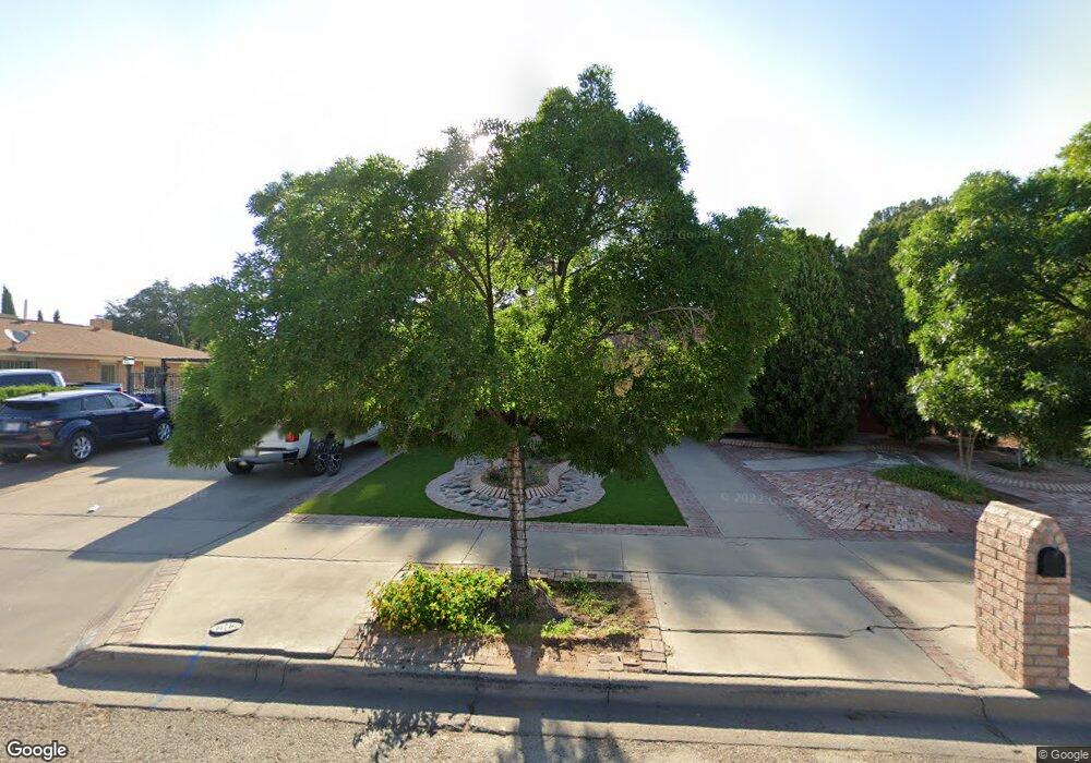
1848 Tom Bolt Dr El Paso, TX 79936
Vista Del Sol NeighborhoodEstimated Value: $275,000 - $335,000
3
Beds
2
Baths
1,916
Sq Ft
$156/Sq Ft
Est. Value
About This Home
This home is located at 1848 Tom Bolt Dr, El Paso, TX 79936 and is currently estimated at $299,268, approximately $156 per square foot. 1848 Tom Bolt Dr is a home located in El Paso County with nearby schools including Tierra Del Sol Elementary School, J M Hanks High School, and EL PASO LEADERSHIP ACADEMY - MIDDLE EAST.
Ownership History
Date
Name
Owned For
Owner Type
Purchase Details
Closed on
May 9, 2014
Sold by
Tessa Capital Llc
Bought by
Castillo Henry
Current Estimated Value
Home Financials for this Owner
Home Financials are based on the most recent Mortgage that was taken out on this home.
Original Mortgage
$36,000
Outstanding Balance
$27,569
Interest Rate
4.46%
Mortgage Type
Purchase Money Mortgage
Estimated Equity
$271,699
Purchase Details
Closed on
May 1, 1998
Sold by
Leveck William Max and Leveck Martha I
Bought by
Castillo Henry and Castillo Hedi M
Home Financials for this Owner
Home Financials are based on the most recent Mortgage that was taken out on this home.
Original Mortgage
$79,652
Interest Rate
7.09%
Mortgage Type
FHA
Create a Home Valuation Report for This Property
The Home Valuation Report is an in-depth analysis detailing your home's value as well as a comparison with similar homes in the area
Home Values in the Area
Average Home Value in this Area
Purchase History
| Date | Buyer | Sale Price | Title Company |
|---|---|---|---|
| Castillo Henry | -- | None Available | |
| Castillo Henry | -- | -- |
Source: Public Records
Mortgage History
| Date | Status | Borrower | Loan Amount |
|---|---|---|---|
| Open | Castillo Henry | $36,000 | |
| Previous Owner | Castillo Henry | $79,652 |
Source: Public Records
Tax History Compared to Growth
Tax History
| Year | Tax Paid | Tax Assessment Tax Assessment Total Assessment is a certain percentage of the fair market value that is determined by local assessors to be the total taxable value of land and additions on the property. | Land | Improvement |
|---|---|---|---|---|
| 2025 | $3,392 | $276,356 | $46,104 | $230,252 |
| 2024 | $3,392 | $255,512 | -- | -- |
| 2023 | $3,269 | $232,284 | $0 | $0 |
| 2022 | $6,557 | $211,167 | $0 | $0 |
| 2021 | $6,240 | $191,970 | $31,559 | $160,411 |
| 2020 | $5,963 | $188,788 | $28,646 | $160,142 |
| 2018 | $5,699 | $183,259 | $28,646 | $154,613 |
| 2017 | $5,245 | $171,895 | $28,646 | $143,249 |
| 2016 | $4,768 | $155,978 | $28,646 | $127,332 |
| 2015 | $3,081 | $144,799 | $28,646 | $116,153 |
| 2014 | $3,081 | $146,440 | $28,646 | $117,794 |
Source: Public Records
Map
Nearby Homes
- 1868 Tom Bolt Dr
- 1817 Hugh Royer Place
- 1913 Seagull Dr
- 1901 Bobby Jones Dr
- 2001 Bobby Jones Dr Unit A
- 2009 Bobby Jones Dr Unit B
- 11016 Bob Stone Dr
- 11012 Bob Stone Dr
- 11013 Bob Stone Dr
- 1804 Jerry Abbott St
- 1739 Jerry Abbott St
- 2604 Anise Dr
- 11204 Bob Mitchell Dr
- 1844 Jack Nicklaus Dr Unit 1846
- 2308 Tom Watson Ct
- 2101 E Glen Dr
- 1703 Robert Wynn St
- 11008 Johnny Miller Dr
- 2348 Sea Side Dr
- 1700 Jerry Abbott St
- 1852 Tom Bolt Dr
- 1844 Tom Bolt Dr
- 1853 Tommy Aaron Dr
- 1849 Tommy Aaron Dr
- 1857 Tommy Aaron Dr
- 1856 Tom Bolt Dr
- 1840 Tom Bolt Dr
- 1847 Tom Bolt Dr
- 1851 Tom Bolt Dr
- 1845 Tommy Aaron Dr
- 1843 Tom Bolt Dr
- 1855 Tom Bolt Dr
- 1861 Tommy Aaron Dr
- 1860 Tom Bolt Dr
- 1839 Tom Bolt Dr
- 1836 Tom Bolt Dr
- 1859 Tom Bolt Dr
- 1848 Mike Hill Dr
- 1841 Tommy Aaron Dr
- 1844 Mike Hill Dr