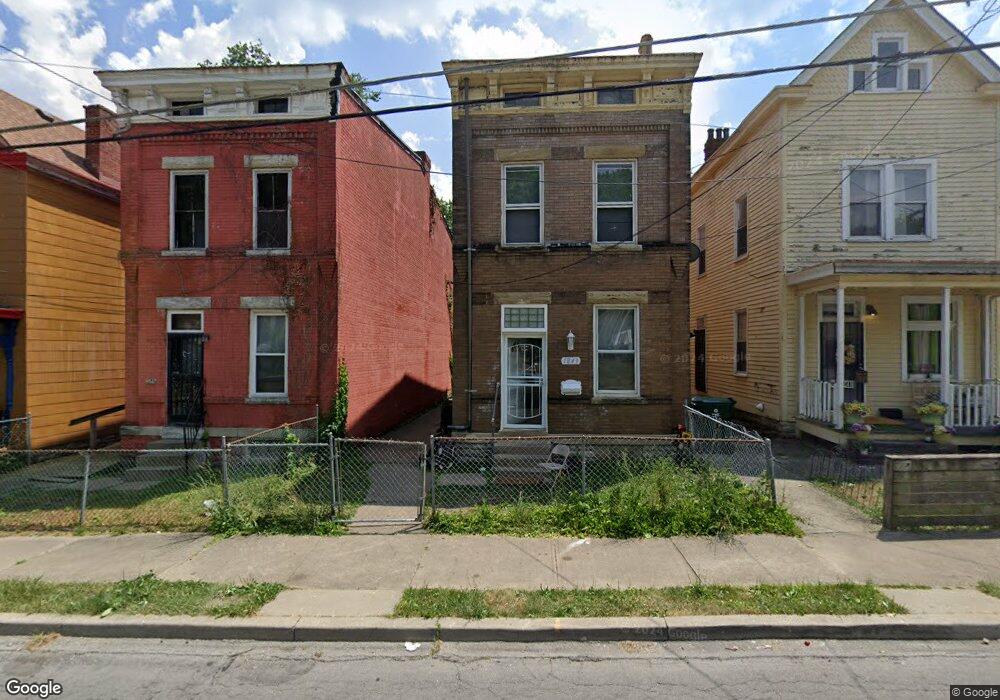
1849 Carll St Cincinnati, OH 45225
North Fairmount NeighborhoodEstimated Value: $73,686 - $105,000
3
Beds
1
Bath
2,666
Sq Ft
$32/Sq Ft
Est. Value
About This Home
This home is located at 1849 Carll St, Cincinnati, OH 45225 and is currently estimated at $85,672, approximately $32 per square foot. 1849 Carll St is a home located in Hamilton County with nearby schools including Ethel M. Taylor Academy, Robert A. Taft Information Technology High School, and Western Hills High School.
Ownership History
Date
Name
Owned For
Owner Type
Purchase Details
Closed on
Oct 6, 2023
Sold by
Johnson Troy
Bought by
Malone Jared
Current Estimated Value
Home Financials for this Owner
Home Financials are based on the most recent Mortgage that was taken out on this home.
Original Mortgage
$66,500
Outstanding Balance
$64,964
Interest Rate
7.18%
Mortgage Type
New Conventional
Estimated Equity
$20,708
Purchase Details
Closed on
Oct 13, 2021
Sold by
Daniel Robert Douglas
Bought by
Johnson Troy
Purchase Details
Closed on
Dec 1, 2017
Sold by
Fischer Robbie L
Bought by
Daniel Robert Douglas
Purchase Details
Closed on
Sep 5, 1995
Sold by
Fischer Robbie
Bought by
Fischer Robbie L
Create a Home Valuation Report for This Property
The Home Valuation Report is an in-depth analysis detailing your home's value as well as a comparison with similar homes in the area
Home Values in the Area
Average Home Value in this Area
Purchase History
| Date | Buyer | Sale Price | Title Company |
|---|---|---|---|
| Malone Jared | $70,000 | Prodigy Title | |
| Malone Jared | $70,000 | Prodigy Title | |
| Johnson Troy | $33,410 | None Available | |
| Daniel Robert Douglas | -- | None Available | |
| Fischer Robbie L | -- | -- |
Source: Public Records
Mortgage History
| Date | Status | Borrower | Loan Amount |
|---|---|---|---|
| Open | Malone Jared | $66,500 | |
| Closed | Malone Jared | $66,500 |
Source: Public Records
Tax History
| Year | Tax Paid | Tax Assessment Tax Assessment Total Assessment is a certain percentage of the fair market value that is determined by local assessors to be the total taxable value of land and additions on the property. | Land | Improvement |
|---|---|---|---|---|
| 2025 | $589 | $9,451 | $1,180 | $8,271 |
| 2024 | $571 | $9,451 | $1,180 | $8,271 |
| 2023 | $584 | $9,451 | $1,180 | $8,271 |
| 2022 | $802 | $11,694 | $1,194 | $10,500 |
| 2021 | $814 | $11,694 | $1,194 | $10,500 |
| 2020 | $817 | $11,694 | $1,194 | $10,500 |
| 2019 | $816 | $10,630 | $1,085 | $9,545 |
| 2018 | $816 | $10,630 | $1,085 | $9,545 |
| 2017 | $786 | $10,630 | $1,085 | $9,545 |
| 2016 | $153 | $1,964 | $1,351 | $613 |
| 2015 | $137 | $1,964 | $1,351 | $613 |
| 2014 | $138 | $1,964 | $1,351 | $613 |
| 2013 | $139 | $1,943 | $1,337 | $606 |
Source: Public Records
Map
Nearby Homes
- 1808 Carll St
- 1797 Denham St
- 1793 Baltimore Ave
- 1781 Baltimore Ave
- 2594 Seegar Ave
- 2568 Trevor Place
- 1965 Baltimore Ave
- 1854 Knox St
- 1674 Baltimore Ave
- 1646 Pulte St
- 1642 Sutter Ave
- 2911 Moosewood Ct
- 2658 Linden St
- 2656 Linden St
- 2654 Linden St
- 2652 Linden St
- 2650 Linden St
- 2457 Everglade Place
- 2465 Saturn St
- 1613 Pulte St
- 1847 Carll St
- 1845 Carll St
- 1851 Carll St
- 1860 Baltimore Ave
- 1853 Carll St
- 1839 Carll St
- 1850 Baltimore Ave
- 1848 Carll St
- 1852 Carll St
- 1854 Carll St
- 1844 Carll St
- 1835 Carll St
- 1865 Baltimore Ave
- 1861 Baltimore Ave
- 1857 Baltimore Ave
- 1848 Baltimore Ave
- 1840 Carll St
- 1833 Carll St
- 1842 Baltimore Ave
- 1836 Carll St
Your Personal Tour Guide
Ask me questions while you tour the home.