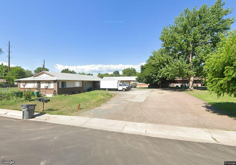
1849 Independence St Lakewood, CO 80215
Morse Park NeighborhoodEstimated Value: $685,771 - $731,000
4
Beds
2
Baths
1,828
Sq Ft
$385/Sq Ft
Est. Value
About This Home
This home is located at 1849 Independence St, Lakewood, CO 80215 and is currently estimated at $703,443, approximately $384 per square foot. 1849 Independence St is a home located in Jefferson County with nearby schools including Slater Elementary School, Lakewood High School, and Our Lady Of Fatima Catholic School.
Ownership History
Date
Name
Owned For
Owner Type
Purchase Details
Closed on
Jun 21, 2001
Sold by
Tirrell Robert Frank and Tirrell Beverly Jean
Bought by
Bizzigotti Peter A and Lamontagne Michele R
Current Estimated Value
Home Financials for this Owner
Home Financials are based on the most recent Mortgage that was taken out on this home.
Original Mortgage
$185,000
Outstanding Balance
$70,316
Interest Rate
7.11%
Estimated Equity
$633,127
Create a Home Valuation Report for This Property
The Home Valuation Report is an in-depth analysis detailing your home's value as well as a comparison with similar homes in the area
Home Values in the Area
Average Home Value in this Area
Purchase History
| Date | Buyer | Sale Price | Title Company |
|---|---|---|---|
| Bizzigotti Peter A | $270,000 | Land Title | |
| Tirrell Robert Frank | -- | Land Title |
Source: Public Records
Mortgage History
| Date | Status | Borrower | Loan Amount |
|---|---|---|---|
| Open | Bizzigotti Peter A | $185,000 |
Source: Public Records
Tax History Compared to Growth
Tax History
| Year | Tax Paid | Tax Assessment Tax Assessment Total Assessment is a certain percentage of the fair market value that is determined by local assessors to be the total taxable value of land and additions on the property. | Land | Improvement |
|---|---|---|---|---|
| 2024 | $3,877 | $42,990 | $18,261 | $24,729 |
| 2023 | $3,877 | $42,990 | $18,261 | $24,729 |
| 2022 | $3,424 | $37,112 | $16,587 | $20,525 |
| 2021 | $3,549 | $39,021 | $17,440 | $21,581 |
| 2020 | $3,237 | $35,749 | $15,398 | $20,351 |
| 2019 | $3,195 | $35,749 | $15,398 | $20,351 |
| 2018 | $2,969 | $32,121 | $10,381 | $21,740 |
| 2017 | $2,609 | $32,121 | $10,381 | $21,740 |
| 2016 | $2,327 | $26,729 | $7,856 | $18,873 |
| 2015 | $1,902 | $26,729 | $7,856 | $18,873 |
| 2014 | $1,902 | $20,013 | $7,794 | $12,219 |
Source: Public Records
Map
Nearby Homes
- 2060 Hoyt St
- 1991 Glen Garry Dr
- 2451 Kipling St Unit 214
- 2451 Kipling St Unit 201
- 16 Lakewood Heights Dr
- 2295 Estes St
- 9306 W 13th Place
- 2580 Hoyt St
- 1390 Lewis St
- 9580 W 12th Place
- 10040 W 13th Place
- 1350 Lewis St
- 2450 Miller St
- 2490 Lewis St
- 1165 Independence St
- 2005 Nelson St
- 10185 W 25th Ave Unit 29
- 10560 W 23rd Place
- 1390 Everett Ct Unit 111
- 1101 Pikeview St
- 1845 Independence St
- 1855 Independence St
- 1867 Independence St
- 1820 Iris St
- 1810 Iris St
- 9600 W 18th Dr
- 9650 W 18th Dr
- 9650 W 18th Dr Unit 9660
- 1860 Iris St
- 9615 W 17th Ave
- 9635 W 17th Ave
- 1710 Iris St
- 1832 Independence St
- 1820 Independence St
- 1820 Independence St Unit 1822
- 1830 Independence St
- 1862 Iris St
- 1700 Iris St
- 1840 Independence St
- 9655 W 18th Dr