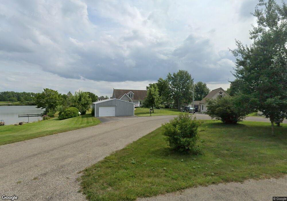
1849 Point Dr Camden, MI 49232
Estimated Value: $399,000 - $518,000
2
Beds
3
Baths
2,454
Sq Ft
$191/Sq Ft
Est. Value
About This Home
This home is located at 1849 Point Dr, Camden, MI 49232 and is currently estimated at $467,861, approximately $190 per square foot. 1849 Point Dr is a home located in Hillsdale County with nearby schools including Camden-Frontier K-8 School and Camden-Frontier High School.
Ownership History
Date
Name
Owned For
Owner Type
Purchase Details
Closed on
Jul 21, 2023
Sold by
Mcgonigle John E and Mcgonigle John
Bought by
Mcgonigle John E and Olson Elizabeth M
Current Estimated Value
Purchase Details
Closed on
Jan 24, 2011
Sold by
Berg Deborah and Mcgonigle Deborah
Bought by
Mcgonigle John
Purchase Details
Closed on
Oct 30, 2003
Sold by
Seron Andrew F and Seron Donna G
Bought by
Mcgonigle John E and Mcgonigle Deborah L
Purchase Details
Closed on
Dec 27, 1996
Sold by
Hart Warner J and Hart Rita M
Bought by
Serorn Andrew F and Serorn Donna G
Create a Home Valuation Report for This Property
The Home Valuation Report is an in-depth analysis detailing your home's value as well as a comparison with similar homes in the area
Home Values in the Area
Average Home Value in this Area
Purchase History
| Date | Buyer | Sale Price | Title Company |
|---|---|---|---|
| Mcgonigle John E | -- | -- | |
| Mcgonigle John | -- | None Available | |
| Mcgonigle John E | $150,000 | -- | |
| Serorn Andrew F | $77,900 | -- |
Source: Public Records
Tax History Compared to Growth
Tax History
| Year | Tax Paid | Tax Assessment Tax Assessment Total Assessment is a certain percentage of the fair market value that is determined by local assessors to be the total taxable value of land and additions on the property. | Land | Improvement |
|---|---|---|---|---|
| 2025 | $3,808 | $224,500 | $0 | $0 |
| 2024 | $1,604 | $209,500 | $0 | $0 |
| 2023 | $1,529 | $178,900 | $0 | $0 |
| 2022 | $3,647 | $153,900 | $0 | $0 |
| 2021 | $3,560 | $137,400 | $0 | $0 |
| 2020 | $3,601 | $135,100 | $0 | $0 |
| 2019 | $3,436 | $128,800 | $0 | $0 |
| 2018 | $3,297 | $124,600 | $0 | $0 |
| 2017 | $3,153 | $124,420 | $0 | $0 |
| 2016 | $3,128 | $120,660 | $0 | $0 |
| 2015 | $1,287 | $120,660 | $0 | $0 |
| 2013 | -- | $117,530 | $0 | $0 |
| 2012 | $1,244 | $113,580 | $0 | $0 |
Source: Public Records
Map
Nearby Homes
- 14600 W Diane Dr
- 14401 Woodbridge Rd
- 13857 E Diane Dr
- 13791 E Diane Dr
- 14934 Heather Ct
- 13551 Hillsdale Rd
- 623-624 Yuma Trail
- 362 Wasco Trail
- 199 Shoshone Trail
- 988-989 Seneca Dr
- 207 Modoc Trail
- 155 Navajo Trail
- 213 Navajo Trail
- 0 Seneca Dr
- 131 Choctaw Trail
- 600 Seneca Dr
- 234 Seneca Dr
- 0 W Territorial Rd Unit 25043960
- 8800 W Territorial Rd
- 145 Lumbee Ln
- 1851 Point Dr
- 14303 Point Dr
- 1855 Point Dr
- 1870 Point Dr
- 1795 Point Dr
- 1846 Point Dr
- 1822 Point Dr
- 1777 Point Dr
- 1810 Point Dr
- 1798 Point Dr
- 1774 Point Dr
- 1786 Point Dr
- 14759 W Diane Dr
- 14731 W Diane Dr
- 14739 W Diane Dr
- 14729 W Diane Dr
- 1762 Point Dr
- 14359 W Diane Dr
- 14423 W Diane Dr
- 14407 W Diane Dr