Estimated Value: $660,000 - $749,471
Studio
--
Bath
1,632
Sq Ft
$432/Sq Ft
Est. Value
About This Home
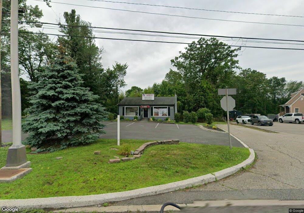
This home is located at 1849 State Route 23, Wayne, NJ 07470 and is currently estimated at $704,736, approximately $431 per square foot. 1849 State Route 23 is a home with nearby schools including Ryerson Elementary School, George Washington Middle School, and Wayne Valley High School.
Ownership History
Date
Name
Owned For
Owner Type
Purchase Details
Closed on
Apr 30, 1997
Sold by
Iacovino John
Bought by
Darmstatter Family Partnership
Current Estimated Value
Home Financials for this Owner
Home Financials are based on the most recent Mortgage that was taken out on this home.
Original Mortgage
$140,000
Outstanding Balance
$18,927
Interest Rate
7.85%
Mortgage Type
Commercial
Estimated Equity
$685,809
Create a Home Valuation Report for This Property
The Home Valuation Report is an in-depth analysis detailing your home's value as well as a comparison with similar homes in the area
Home Values in the Area
Average Home Value in this Area
Purchase History
| Date | Buyer | Sale Price | Title Company |
|---|---|---|---|
| Darmstatter Family Partnership | $200,000 | -- |
Source: Public Records
Mortgage History
| Date | Status | Borrower | Loan Amount |
|---|---|---|---|
| Open | Darmstatter Family Partnership | $140,000 |
Source: Public Records
Tax History
| Year | Tax Paid | Tax Assessment Tax Assessment Total Assessment is a certain percentage of the fair market value that is determined by local assessors to be the total taxable value of land and additions on the property. | Land | Improvement |
|---|---|---|---|---|
| 2025 | $12,344 | $207,600 | $133,000 | $74,600 |
| 2024 | $11,871 | $207,600 | $133,000 | $74,600 |
| 2022 | $11,738 | $207,600 | $133,000 | $74,600 |
| 2021 | $11,725 | $207,600 | $133,000 | $74,600 |
| 2020 | $11,673 | $207,600 | $133,000 | $74,600 |
| 2019 | $11,447 | $207,600 | $133,000 | $74,600 |
| 2018 | $11,345 | $207,600 | $133,000 | $74,600 |
| 2017 | $11,242 | $207,600 | $133,000 | $74,600 |
| 2016 | $11,084 | $207,600 | $133,000 | $74,600 |
| 2015 | $10,951 | $207,600 | $133,000 | $74,600 |
| 2014 | $10,642 | $207,600 | $133,000 | $74,600 |
Source: Public Records
Map
Nearby Homes
- 5 Ferndale Rd
- 26 Pequannock Ave
- 0 Oakwood Ave Unit 3989632
- 00 Oakwood Ave
- 27 Marlin Ave
- 6 Brentwood Ct
- 45 Kime Ave
- 105 Newark Pompton Turnpike Unit 21
- 43 Madison St
- 36 Yellow Brick Rd
- 72 Lenox Rd
- 174 Hillcrest Dr
- 139 Webster Dr
- 177 Chestnut Dr
- 5 Bourbon St
- 310 Boulevard Dr
- 63 Chestnut Dr
- 77 Chestnut Dr
- 108 Packanack Lake Rd
- 25 Nathan Way
- 1875 New Jersey 23
- 12 Sandra Ln
- 16 Sandra Ln
- 1825 State Route 23
- 14 Sandra Ln
- 20 Sandra Ln
- 8 Sandra Ln
- 11 Sandra Ln
- 4 Sandra Ln
- 21 Sandra Ln
- 7 Sandra Ln
- 105 Black Oak Ridge Rd
- 28 Sandra Ln
- 25 Sandra Ln
- 116 Black Oak Ridge Rd
- 99 Black Oak Ridge Rd
- 13 Court Ln
- 15 Court Ln
- 29 Sandra Ln
- 91 Black Oak Ridge Rd
Your Personal Tour Guide
Ask me questions while you tour the home.