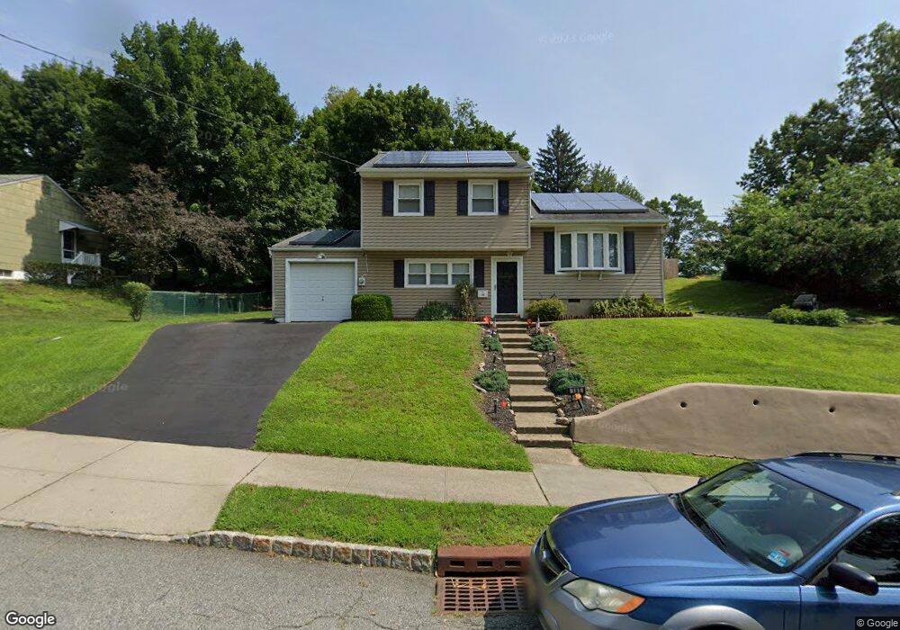
185 Baker Ave Wharton, NJ 07885
Estimated Value: $479,016 - $513,000
--
Bed
--
Bath
1,366
Sq Ft
$366/Sq Ft
Est. Value
About This Home
This home is located at 185 Baker Ave, Wharton, NJ 07885 and is currently estimated at $499,754, approximately $365 per square foot. 185 Baker Ave is a home located in Morris County with nearby schools including Marie V. Duffy Elementary School and A C Mac Kinnon Middle School.
Ownership History
Date
Name
Owned For
Owner Type
Purchase Details
Closed on
Dec 14, 1995
Sold by
Boylan John J and Boylan Miriam P
Bought by
Skelly Colleen
Current Estimated Value
Create a Home Valuation Report for This Property
The Home Valuation Report is an in-depth analysis detailing your home's value as well as a comparison with similar homes in the area
Home Values in the Area
Average Home Value in this Area
Purchase History
| Date | Buyer | Sale Price | Title Company |
|---|---|---|---|
| Skelly Colleen | $157,000 | -- |
Source: Public Records
Tax History Compared to Growth
Tax History
| Year | Tax Paid | Tax Assessment Tax Assessment Total Assessment is a certain percentage of the fair market value that is determined by local assessors to be the total taxable value of land and additions on the property. | Land | Improvement |
|---|---|---|---|---|
| 2025 | $10,037 | $362,600 | $131,100 | $231,500 |
| 2024 | $9,635 | $339,200 | $126,300 | $212,900 |
| 2023 | $9,635 | $321,800 | $126,300 | $195,500 |
| 2022 | $9,083 | $320,100 | $126,300 | $193,800 |
| 2021 | $9,083 | $297,700 | $126,300 | $171,400 |
| 2020 | $8,873 | $285,400 | $126,300 | $159,100 |
| 2019 | $8,367 | $271,300 | $126,300 | $145,000 |
| 2018 | $8,011 | $265,100 | $126,300 | $138,800 |
| 2017 | $8,010 | $262,200 | $126,300 | $135,900 |
| 2016 | $7,476 | $262,600 | $126,300 | $136,300 |
| 2015 | $7,887 | $260,800 | $126,300 | $134,500 |
| 2014 | $7,918 | $259,000 | $126,300 | $132,700 |
Source: Public Records
Map
Nearby Homes
- 18 Wabash Ave
- 78 James St
- 8 N Elk Ave
- 121 W Clinton St
- 98 Baker St
- 417 W Black Well St Ab
- 5 W Fairview Ave
- 142 W Blackwell St
- 75 White St
- 29 Drake Ave
- 120 Park Heights Ave
- 37 Garden Ave
- 8 Baker Ave
- 36 Prospect St
- 51 N Morris St
- 42 Fern Ave
- 58-60 Prospect St
- 17 Anderson Rd
- 126 Prospect St
- 12 Lincoln Ave
- 297 Baker Ave
- 183 Baker Ave
- 10 Atlanta Place
- 299 Baker Ave
- 16 Atlanta Place
- 280 Baker Ave
- 181 Baker Ave
- 8 Atlanta Place
- 7 Atlanta Place
- 305 Baker Ave
- 276 Baker Ave
- 5 Atlanta Place
- 149 Princeton Ave
- 9 Atlanta Place
- 147 Princeton Ave
- 185 Princeton Ave
- 180 Baker Ave
- 6 Atlanta Place
- 179 Baker Ave
- 182 Princeton Ave