185 Boundary Tree Way W Jasper, GA 30143
Estimated Value: $445,000 - $782,000
--
Bed
3
Baths
2,250
Sq Ft
$255/Sq Ft
Est. Value
About This Home
This home is located at 185 Boundary Tree Way W, Jasper, GA 30143 and is currently estimated at $574,131, approximately $255 per square foot. 185 Boundary Tree Way W is a home located in Pickens County with nearby schools including Harmony Elementary School, Pickens County Middle School, and Pickens County High School.
Ownership History
Date
Name
Owned For
Owner Type
Purchase Details
Closed on
Oct 20, 2015
Sold by
Hiers Julie R
Bought by
Hiers Julie R and Hiers David A
Current Estimated Value
Purchase Details
Closed on
Dec 23, 2005
Sold by
Naterra Land Of Ga Llc
Bought by
Hiers David A
Purchase Details
Closed on
Sep 15, 2005
Sold by
Michelson Robert
Bought by
Naterra Land Of Georgia
Create a Home Valuation Report for This Property
The Home Valuation Report is an in-depth analysis detailing your home's value as well as a comparison with similar homes in the area
Home Values in the Area
Average Home Value in this Area
Purchase History
| Date | Buyer | Sale Price | Title Company |
|---|---|---|---|
| Hiers Julie R | -- | -- | |
| Hiers David A | $168,000 | -- | |
| Naterra Land Of Georgia | $75,000 | -- |
Source: Public Records
Mortgage History
| Date | Status | Borrower | Loan Amount |
|---|---|---|---|
| Closed | Hiers David A | $0 |
Source: Public Records
Tax History Compared to Growth
Tax History
| Year | Tax Paid | Tax Assessment Tax Assessment Total Assessment is a certain percentage of the fair market value that is determined by local assessors to be the total taxable value of land and additions on the property. | Land | Improvement |
|---|---|---|---|---|
| 2025 | $2,629 | $132,825 | $26,230 | $106,595 |
| 2024 | $2,629 | $132,825 | $26,230 | $106,595 |
| 2023 | $2,701 | $132,825 | $26,230 | $106,595 |
| 2022 | $2,701 | $132,825 | $26,230 | $106,595 |
| 2021 | $2,894 | $132,825 | $26,230 | $106,595 |
| 2020 | $2,981 | $132,825 | $26,230 | $106,595 |
| 2019 | $3,050 | $132,825 | $26,230 | $106,595 |
| 2018 | $3,078 | $132,825 | $26,230 | $106,595 |
| 2017 | $3,128 | $132,825 | $26,230 | $106,595 |
| 2016 | $3,179 | $132,825 | $26,230 | $106,595 |
| 2015 | $3,104 | $132,825 | $26,230 | $106,595 |
| 2014 | $3,111 | $132,825 | $26,230 | $106,595 |
| 2013 | -- | $132,825 | $26,230 | $106,595 |
Source: Public Records
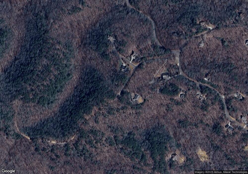
Map
Nearby Homes
- 647 Philadelphia Dr
- 531 Philadelphia Dr
- 1169 Upper Salem Church Rd
- 2 Salem Church Rd
- 4 Salem Church Rd
- 186 Franklin Ct
- 2574 Highway 53 W
- 46 Serenity Ln
- 100 AC Mockingbird Ln
- 2728 Camp Rd
- 2038 Upper Salem Church Rd
- 9 Summit St Unit 9
- 0 Salem Church Rd Unit 7541070
- 0 S Maple Dr Unit 7689036
- 2668 Highland Trail
- 5574 Red Fox Ln
- Lot 36 Hampton Farms Trail
- 321 Owls Brow
- 0 Hunters Ridge Rd Unit LOT 168 10559608
- 0 S Maple Dr Unit 10653282
- 41 Boundary Tree Way W
- 61 Boundary Tree Way W
- 422 Upper Salem Church Rd
- 00 Airport Industrial Ct
- 14 Gateway Dr
- 26 Gateway Dr
- 40 Gateway Dr
- 40 Gateway Dr Unit 4199427
- 406 Upper Salem Church Rd
- 114 Airport Business Ct
- 186 Upper Salem Church R
- 186 Upper Salem Church Rd
- 3739 Camp Rd
- 403 Burgess Hill Dr
- 50 Burgess Hill Dr
- 86 Boundary Tree Way W
- 00 Upper Salem Church Rd
- 0 Upper Salem Church Rd
- 0 Upper Salem Church Rd Unit 404087
- 0 Upper Salem Church Rd Unit 10290349