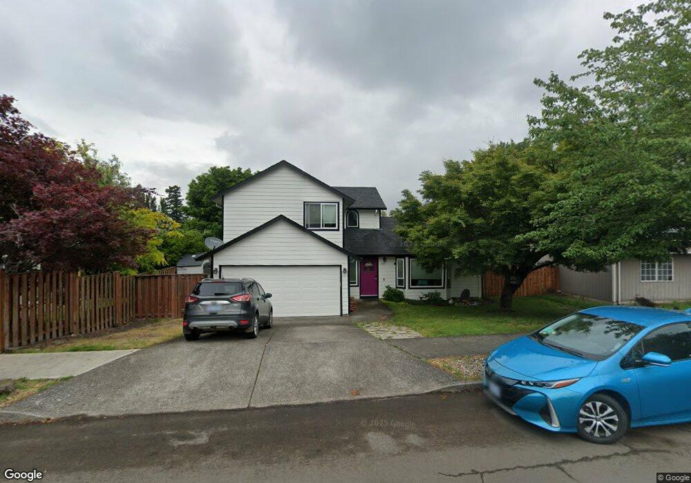
185 Bridge St Fairview, OR 97024
Estimated Value: $475,138 - $522,000
3
Beds
3
Baths
1,551
Sq Ft
$324/Sq Ft
Est. Value
About This Home
This home is located at 185 Bridge St, Fairview, OR 97024 and is currently estimated at $503,035, approximately $324 per square foot. 185 Bridge St is a home located in Multnomah County with nearby schools including Fairview Elementary School, Reynolds Middle School, and Reynolds High School.
Ownership History
Date
Name
Owned For
Owner Type
Purchase Details
Closed on
Feb 4, 2022
Sold by
Card Michael A
Bought by
Card Jennifer A and Robrecht Terence
Current Estimated Value
Home Financials for this Owner
Home Financials are based on the most recent Mortgage that was taken out on this home.
Original Mortgage
$145,500
Outstanding Balance
$134,850
Interest Rate
3.55%
Mortgage Type
New Conventional
Estimated Equity
$368,185
Purchase Details
Closed on
May 28, 1996
Sold by
Leptich Brian T
Bought by
Card Michael A and Card Jennifer A
Home Financials for this Owner
Home Financials are based on the most recent Mortgage that was taken out on this home.
Original Mortgage
$108,000
Interest Rate
6.87%
Mortgage Type
Purchase Money Mortgage
Create a Home Valuation Report for This Property
The Home Valuation Report is an in-depth analysis detailing your home's value as well as a comparison with similar homes in the area
Purchase History
| Date | Buyer | Sale Price | Title Company |
|---|---|---|---|
| Card Jennifer A | $91,000 | Fidelity National Title | |
| Card Michael A | $135,950 | First American Title Ins Co |
Source: Public Records
Mortgage History
| Date | Status | Borrower | Loan Amount |
|---|---|---|---|
| Open | Card Jennifer A | $145,500 | |
| Previous Owner | Card Michael A | $108,000 |
Source: Public Records
Tax History
| Year | Tax Paid | Tax Assessment Tax Assessment Total Assessment is a certain percentage of the fair market value that is determined by local assessors to be the total taxable value of land and additions on the property. | Land | Improvement |
|---|---|---|---|---|
| 2025 | $4,658 | $258,710 | -- | -- |
| 2024 | $4,402 | $251,180 | -- | -- |
| 2023 | $4,296 | $243,870 | $0 | $0 |
| 2022 | $4,192 | $236,770 | $0 | $0 |
| 2021 | $4,085 | $229,880 | $0 | $0 |
| 2020 | $3,815 | $223,190 | $0 | $0 |
| 2019 | $3,659 | $216,690 | $0 | $0 |
| 2018 | $3,624 | $210,380 | $0 | $0 |
| 2017 | $3,508 | $204,260 | $0 | $0 |
| 2016 | $3,358 | $198,320 | $0 | $0 |
Source: Public Records
Map
Nearby Homes
- 204 Crestwood St
- 1917 NE 226th Ave
- 120 Cedar St
- 23140 NE Halsey St
- 21730 NE Palisade Place
- 21720 NE Palisade Place
- 515 Harrison St
- 21780 NE Larkspur Ln
- 3201 NE 223rd Ave Unit 45
- 23654 NE Halsey St
- 1610 NE 235th Ave
- 21715 NE Halsey St
- 1331 NE 236th Ave
- 2075 NE 240th Ave
- 1510 NE Village St
- 22285 NE Park Ln
- 138 Maple Blvd
- 21100 NE Sandy Blvd Unit 52
- 21100 NE Sandy Blvd Unit 39
- 21100 NE Sandy Blvd Unit 62
Your Personal Tour Guide
Ask me questions while you tour the home.