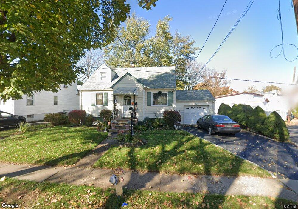
185 Crann St Hillside, NJ 07205
Estimated Value: $458,716 - $544,000
Studio
--
Bath
1,636
Sq Ft
$308/Sq Ft
Est. Value
About This Home
This home is located at 185 Crann St, Hillside, NJ 07205 and is currently estimated at $504,429, approximately $308 per square foot. 185 Crann St is a home located in Union County with nearby schools including Abram P. Morris-Saybrook Elementary School, Hurden Looker School, and Ola Edwards Community School.
Ownership History
Date
Name
Owned For
Owner Type
Purchase Details
Closed on
Aug 28, 2006
Sold by
Martins Helene A
Bought by
Lopez Solangee J and Lopez Petra D
Current Estimated Value
Home Financials for this Owner
Home Financials are based on the most recent Mortgage that was taken out on this home.
Original Mortgage
$239,920
Outstanding Balance
$145,021
Interest Rate
6.79%
Estimated Equity
$359,408
Create a Home Valuation Report for This Property
The Home Valuation Report is an in-depth analysis detailing your home's value as well as a comparison with similar homes in the area
Home Values in the Area
Average Home Value in this Area
Purchase History
| Date | Buyer | Sale Price | Title Company |
|---|---|---|---|
| Lopez Solangee J | $299,000 | -- |
Source: Public Records
Mortgage History
| Date | Status | Borrower | Loan Amount |
|---|---|---|---|
| Open | Lopez Solangee J | $239,920 |
Source: Public Records
Tax History
| Year | Tax Paid | Tax Assessment Tax Assessment Total Assessment is a certain percentage of the fair market value that is determined by local assessors to be the total taxable value of land and additions on the property. | Land | Improvement |
|---|---|---|---|---|
| 2025 | $10,077 | $122,100 | $66,500 | $55,600 |
| 2024 | $9,784 | $122,100 | $66,500 | $55,600 |
| 2023 | $9,784 | $122,100 | $66,500 | $55,600 |
| 2022 | $9,694 | $122,100 | $66,500 | $55,600 |
| 2021 | $9,630 | $122,100 | $66,500 | $55,600 |
| 2020 | $9,574 | $122,100 | $66,500 | $55,600 |
| 2019 | $9,388 | $122,100 | $66,500 | $55,600 |
| 2018 | $9,294 | $122,100 | $66,500 | $55,600 |
| 2017 | $9,238 | $122,100 | $66,500 | $55,600 |
| 2016 | $9,227 | $122,100 | $66,500 | $55,600 |
| 2015 | $8,645 | $122,100 | $66,500 | $55,600 |
| 2014 | $8,501 | $122,100 | $66,500 | $55,600 |
Source: Public Records
Map
Nearby Homes
- 222 Boston Ave
- 149 Baltimore Ave
- 292 Crann St
- 128 Baltimore Ave
- 359 Harvard Ave
- 386 Yale Ave
- 600 Plymouth Rd
- 420 Hollywood Ave
- 1414 Boa Place Unit 2
- 130 Valley View Rd
- 1406 Maple Ave
- 525 Us Highway 22
- 339 Hillside Ave
- 339 Hillside Ave Unit 2
- 537 Us Highway 22
- 1442 Highland Ave
- 169 Valley View Rd
- 1090 Salem Rd
- 1393 Cornell Place
- 1426 Franklin St
- 189 Crann St
- 1236 S Myrtle St
- 193 Crann St
- 1240 S Myrtle St
- 210 Baltimore Ave
- 184 Crann St
- 188 Crann St
- 197 Crann St
- 192 Crann St
- 204 Baltimore Ave
- 204 Baltimore Ave Unit 2
- 1179 Saint Louis Ave
- 196 Crann St
- 228 Boston Ave
- 205 Crann St
- 220 Boston Ave
- 200 Baltimore Ave
- 212 Boston Ave
- 200 Crann St
- 230 Boston Ave
Your Personal Tour Guide
Ask me questions while you tour the home.