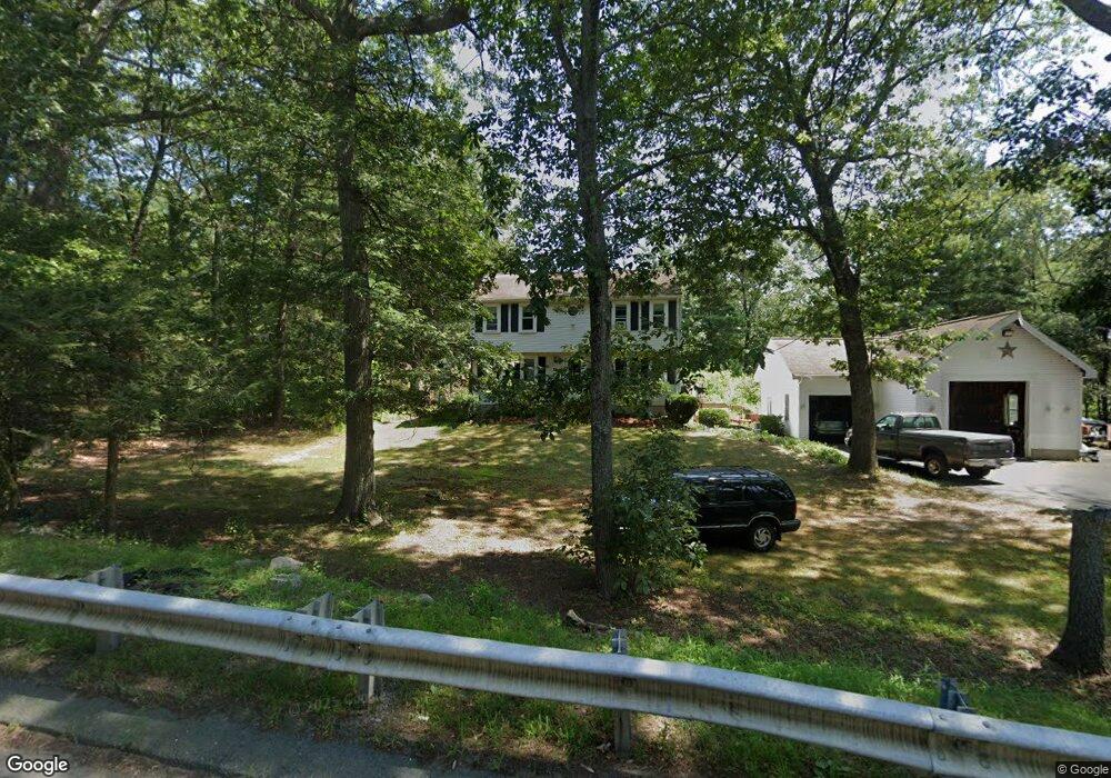
185 Cumberland Rd Wrentham, MA 02093
West Wrentham NeighborhoodEstimated Value: $603,000 - $703,000
4
Beds
2
Baths
1,700
Sq Ft
$388/Sq Ft
Est. Value
About This Home
This home is located at 185 Cumberland Rd, Wrentham, MA 02093 and is currently estimated at $659,248, approximately $387 per square foot. 185 Cumberland Rd is a home located in Norfolk County with nearby schools including Delaney Elementary School, Charles E Roderick, and Mercymount Country Day School.
Ownership History
Date
Name
Owned For
Owner Type
Purchase Details
Closed on
Sep 27, 1999
Sold by
Hazebrouck Stephen A and Hazebrouck Charlene M
Bought by
Domko Susan B and Domko Philip
Current Estimated Value
Home Financials for this Owner
Home Financials are based on the most recent Mortgage that was taken out on this home.
Original Mortgage
$212,680
Outstanding Balance
$65,541
Interest Rate
8.1%
Mortgage Type
Purchase Money Mortgage
Estimated Equity
$593,707
Create a Home Valuation Report for This Property
The Home Valuation Report is an in-depth analysis detailing your home's value as well as a comparison with similar homes in the area
Home Values in the Area
Average Home Value in this Area
Purchase History
| Date | Buyer | Sale Price | Title Company |
|---|---|---|---|
| Domko Susan B | $214,000 | -- |
Source: Public Records
Mortgage History
| Date | Status | Borrower | Loan Amount |
|---|---|---|---|
| Open | Domko Susan B | $212,680 |
Source: Public Records
Tax History Compared to Growth
Tax History
| Year | Tax Paid | Tax Assessment Tax Assessment Total Assessment is a certain percentage of the fair market value that is determined by local assessors to be the total taxable value of land and additions on the property. | Land | Improvement |
|---|---|---|---|---|
| 2025 | $6,691 | $577,300 | $288,800 | $288,500 |
| 2024 | $6,588 | $549,000 | $288,800 | $260,200 |
| 2023 | $6,243 | $494,700 | $262,700 | $232,000 |
| 2022 | $6,232 | $455,900 | $255,900 | $200,000 |
| 2021 | $5,985 | $425,400 | $239,200 | $186,200 |
| 2020 | $5,411 | $379,700 | $182,800 | $196,900 |
| 2019 | $5,254 | $372,100 | $182,800 | $189,300 |
| 2018 | $4,896 | $343,800 | $164,400 | $179,400 |
| 2017 | $4,616 | $323,900 | $161,200 | $162,700 |
| 2016 | $4,541 | $318,000 | $156,600 | $161,400 |
| 2015 | $4,386 | $292,800 | $150,500 | $142,300 |
| 2014 | $4,327 | $282,600 | $144,800 | $137,800 |
Source: Public Records
Map
Nearby Homes
- 50 Heather Ln
- 60 Grant Ave
- 39 Sumner Brown Rd
- 50 Wamsutta Way
- 236 Williams St
- 2095 West St
- 180 Pine Swamp Rd
- 56 Pine Swamp Rd
- 300 Tower Hill Rd
- 4022 Diamond Hill Rd
- 25 Nature View Dr
- 4 Evans St
- 20 Nature View Dr
- 60 Tower Hill Rd
- 51 Reservoir Rd
- 11 Amber Dr
- 245 W Wrentham Rd
- 219 Dawn Blvd
- 9 Pebble Cir Unit 9
- 17 Stanford Rd
- 195 Cumberland Rd
- 45 Old Cumberland Rd
- 175 Cumberland Rd
- 0 Old Cumberland Rd
- 10 Old Cumberland Rd
- 205 Cumberland Rd
- 20 Old Cumberland Rd
- 165 Cumberland Rd
- 134 Cumberland Rd
- 195 Wrentham Rd
- 30 Old Cumberland Rd
- 155 Cumberland Rd
- 45 Old Cumberland Rd
- 40 Old Cumberland Rd
- 145 Cumberland Rd
- 179 Wrentham Rd
- 133 Cumberland Rd
- 3 Carriage Ln
- 1 Carriage Ln
- 50 Old Cumberland Rd