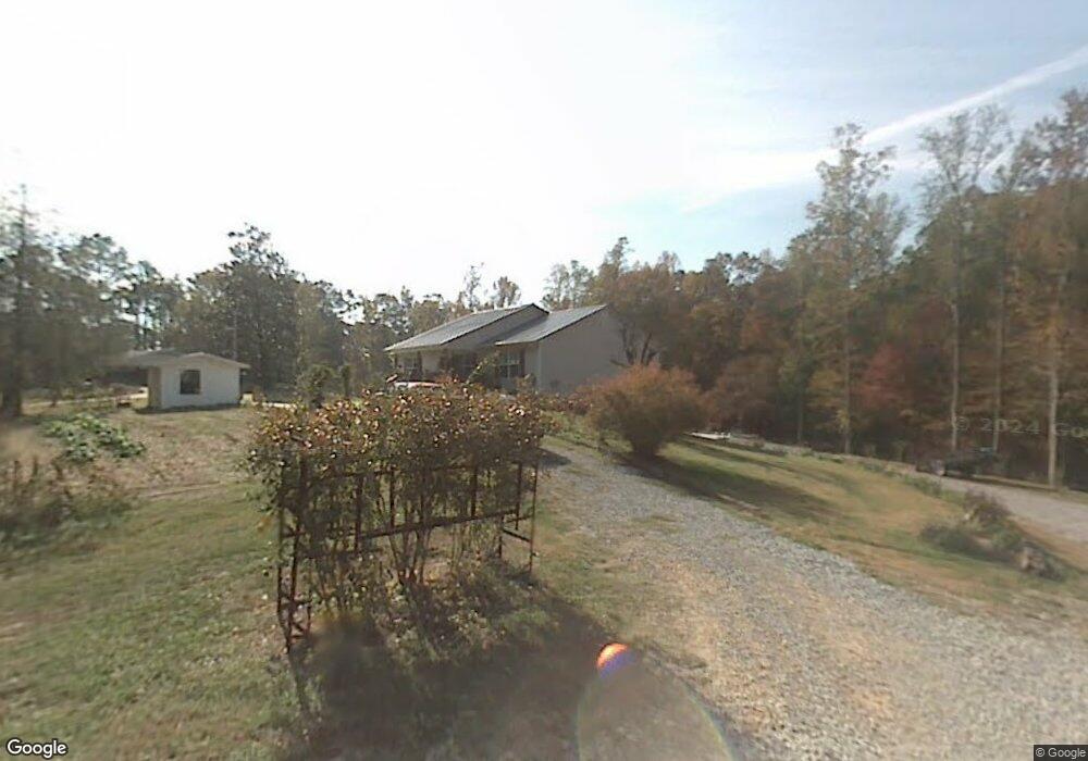
185 Della Way Dalton, GA 30721
Estimated Value: $313,000 - $369,000
--
Bed
2
Baths
1,868
Sq Ft
$178/Sq Ft
Est. Value
About This Home
This home is located at 185 Della Way, Dalton, GA 30721 and is currently estimated at $333,024, approximately $178 per square foot. 185 Della Way is a home located in Whitfield County with nearby schools including Cedar Ridge Elementary School, Eastbrook Middle School, and Southeast Whitfield County High School.
Ownership History
Date
Name
Owned For
Owner Type
Purchase Details
Closed on
Sep 21, 2004
Sold by
Payne Jeffrey A
Bought by
Payne Jeffrey Allen and Dena Lowery
Current Estimated Value
Purchase Details
Closed on
Oct 30, 2003
Sold by
Newton Roy and Newton Denia
Bought by
Payne Jeffrey A
Create a Home Valuation Report for This Property
The Home Valuation Report is an in-depth analysis detailing your home's value as well as a comparison with similar homes in the area
Home Values in the Area
Average Home Value in this Area
Purchase History
| Date | Buyer | Sale Price | Title Company |
|---|---|---|---|
| Payne Jeffrey Allen | -- | -- | |
| Payne Jeffrey A | $36,500 | -- |
Source: Public Records
Tax History Compared to Growth
Tax History
| Year | Tax Paid | Tax Assessment Tax Assessment Total Assessment is a certain percentage of the fair market value that is determined by local assessors to be the total taxable value of land and additions on the property. | Land | Improvement |
|---|---|---|---|---|
| 2024 | $2,116 | $118,280 | $15,000 | $103,280 |
| 2023 | $2,116 | $77,480 | $11,200 | $66,280 |
| 2022 | $1,654 | $64,626 | $11,200 | $53,426 |
| 2021 | $1,840 | $70,912 | $11,200 | $59,712 |
| 2020 | $1,891 | $70,912 | $11,200 | $59,712 |
| 2019 | $1,817 | $67,712 | $8,000 | $59,712 |
| 2018 | $1,682 | $62,659 | $5,760 | $56,899 |
| 2017 | $1,682 | $62,659 | $5,760 | $56,899 |
| 2016 | $1,416 | $55,580 | $3,830 | $51,750 |
| 2014 | $1,297 | $55,580 | $3,830 | $51,750 |
| 2013 | -- | $55,580 | $3,830 | $51,750 |
Source: Public Records
Map
Nearby Homes
- 3657 Airport Rd
- 01 Headrick Cir SE
- 00 Headrick Cir SE
- 1142 Ben Hill Rd SE
- 296 Wagner Dr
- 1271 Ridge Rd SE
- 00 Tibbs Bridge Rd
- 215 Wagner Dr
- 2200 Ridge Rd SE
- 00 Hill Rd
- 129 Hillwood Dr
- 760 Keith Rd SE
- 4322 Banks Dr SE
- 0 Tibbs Bridge Rd SE
- 1401 Eastbrook Dr SE
- 185 Cedar Ridge Rd
- 0 Ledford Ave SE
- 118 Hill Rd
- TBD Old Grade Rd
- 0 Old Grade Rd
- 188 Della Way
- 2016 Ashton Ln SE
- 3698 Airport Rd SE
- 2022 Ashton Ln SE
- 3724 Airport Rd SE
- 153 Della Way
- 2015 Ashton Ln SE
- 2013 Ashton Ln SE
- 2017 Ashton Ln SE
- Lot 50 Ashton Ln
- Lot 49 Ashton Ln
- 140 Della Way
- 2024 Ashton Ln SE
- 1216 Lynn Dr SE
- 111 Ridge Dr #321
- 3741 Airport Rd SE
- 3699 Airport Rd SE
- 3703 Airport Rd
- 2026 Ashton Ln SE
- 2002 Ashton Ln SE