185 E 400 N Boulder, UT 84716
Estimated Value: $253,385 - $1,703,000
Studio
--
Bath
1,512
Sq Ft
$528/Sq Ft
Est. Value
About This Home
This home is located at 185 E 400 N, Boulder, UT 84716 and is currently estimated at $797,596, approximately $527 per square foot. 185 E 400 N is a home.
Create a Home Valuation Report for This Property
The Home Valuation Report is an in-depth analysis detailing your home's value as well as a comparison with similar homes in the area
Tax History
| Year | Tax Paid | Tax Assessment Tax Assessment Total Assessment is a certain percentage of the fair market value that is determined by local assessors to be the total taxable value of land and additions on the property. | Land | Improvement |
|---|---|---|---|---|
| 2025 | $551 | $146,699 | $30,000 | $116,699 |
| 2024 | $504 | $141,605 | $21,945 | $119,660 |
| 2023 | $499 | $119,445 | $19,000 | $100,445 |
| 2022 | $505 | $114,662 | $19,000 | $95,662 |
| 2021 | $565 | $114,662 | $19,000 | $95,662 |
| 2020 | $514 | $114,662 | $19,000 | $95,662 |
| 2019 | $519 | $114,662 | $19,000 | $95,662 |
| 2018 | $579 | $63,064 | $0 | $0 |
| 2017 | $519 | $63,065 | $0 | $0 |
| 2016 | $519 | $63,065 | $0 | $0 |
| 2015 | $538 | $63,065 | $0 | $0 |
| 2012 | $538 | $59,870 | $0 | $0 |
Source: Public Records
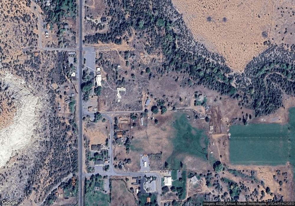
Map
Nearby Homes
- 2405 S Lower Boulder Rd
- 2606 S Lower Boulder Rd
- 1049 Utah 12
- 2277 E Broken Branch West Dr Unit 28
- 1690 S Lower Boulder Rd
- 1345 S 1070 E
- 316 N Pinion Branch Dr N Unit 12B
- 1061 E Heritage Ln
- 416 E Main St
- 355 Utah 12
- 0 Parcel 11-002-0189 Highway 12
- 0 Parcel 11-0024-0189 Unit 25-264542
- 385 N 200 W
- 135 N 100 W
- 533 W 325 N
- 20 S 200 W
- 370 W 100 N
- 579 W 325 N
- 355 W Highway 12
- 585 S Center St
Your Personal Tour Guide
Ask me questions while you tour the home.