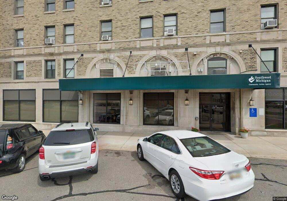
185 E Main St Benton Harbor, MI 49022
--
Bed
--
Bath
62,324
Sq Ft
0.54
Acres
About This Home
This home is located at 185 E Main St, Benton Harbor, MI 49022. 185 E Main St is a home located in Berrien County with nearby schools including Fair Plain Middle School, Benton Harbor High School, and Benton Harbor Charter School Academy.
Ownership History
Date
Name
Owned For
Owner Type
Purchase Details
Closed on
May 23, 2011
Sold by
Wolf Development Inc
Bought by
185 East Main Bh Llc
Home Financials for this Owner
Home Financials are based on the most recent Mortgage that was taken out on this home.
Original Mortgage
$410,000
Outstanding Balance
$285,978
Interest Rate
4.96%
Mortgage Type
Future Advance Clause Open End Mortgage
Purchase Details
Closed on
Apr 18, 2000
Purchase Details
Closed on
Sep 19, 1989
Purchase Details
Closed on
Jun 9, 1986
Purchase Details
Closed on
Oct 1, 1975
Create a Home Valuation Report for This Property
The Home Valuation Report is an in-depth analysis detailing your home's value as well as a comparison with similar homes in the area
Home Values in the Area
Average Home Value in this Area
Purchase History
| Date | Buyer | Sale Price | Title Company |
|---|---|---|---|
| 185 East Main Bh Llc | -- | Multiple | |
| -- | -- | -- | |
| -- | $270,000 | -- | |
| -- | $102,000 | -- | |
| -- | -- | -- |
Source: Public Records
Mortgage History
| Date | Status | Borrower | Loan Amount |
|---|---|---|---|
| Open | 185 East Main Bh Llc | $410,000 |
Source: Public Records
Tax History Compared to Growth
Tax History
| Year | Tax Paid | Tax Assessment Tax Assessment Total Assessment is a certain percentage of the fair market value that is determined by local assessors to be the total taxable value of land and additions on the property. | Land | Improvement |
|---|---|---|---|---|
| 2025 | $32,235 | $1,212,300 | $0 | $0 |
| 2024 | $31,010 | $946,100 | $0 | $0 |
| 2023 | $24,804 | $846,000 | $0 | $0 |
| 2022 | $28,142 | $738,200 | $0 | $0 |
| 2021 | $28,328 | $674,200 | $27,500 | $646,700 |
| 2020 | $27,972 | $658,000 | $0 | $0 |
| 2019 | $27,472 | $640,500 | $0 | $0 |
| 2018 | $26,807 | $766,800 | $0 | $0 |
| 2017 | $26,276 | $707,200 | $0 | $0 |
| 2016 | $25,841 | $700,200 | $0 | $0 |
| 2015 | $25,778 | $625,200 | $0 | $0 |
| 2014 | $24,392 | $625,200 | $0 | $0 |
Source: Public Records
Map
Nearby Homes
- 255 High St
- 309 High St
- VL Eighth Ninth Boughton St
- 378 Pipestone St
- 391 Pipestone St
- 460 Colfax Ave
- 416 E Britain Ave
- 696 Highland Ave
- 576 Colfax Ave
- 710 Buss Ave
- 614 Pavone St
- 161 Kline Ave
- 585 Beachwood Path
- 621 W Main St
- 293 Morning Walk Path
- 470 N Mccord St
- 694 Colfax Ave
- 419 Packard St
- 460 Golden Bear Ct
- V/L Michigan 63
- 185 E Main St Unit 1
- 185 E Main St Unit 4
- 185 E Main St Unit 3
- 185 E Main St Unit 2
- 215 E Main St
- 213 E Main St
- 205 E Main St
- 165 E Main St
- 212 Territorial Rd
- 200 E Main St
- 140 5th St
- 208 Territorial Rd Unit 1
- 315323 E Main St
- 34 5th St
- 241 E Main St
- 107 Water St
- 107 Water St Unit 203
- 107 Water St Unit 204
- 53 Water St
- 182 5th St