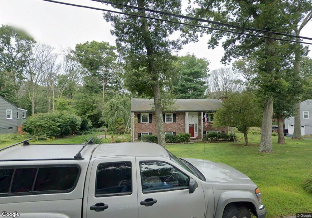
185 Farm St Millis, MA 02054
Estimated Value: $559,000 - $622,000
3
Beds
2
Baths
1,056
Sq Ft
$566/Sq Ft
Est. Value
About This Home
This home is located at 185 Farm St, Millis, MA 02054 and is currently estimated at $597,231, approximately $565 per square foot. 185 Farm St is a home located in Norfolk County with nearby schools including Clyde F Brown, Millis Middle School, and Millis High School.
Ownership History
Date
Name
Owned For
Owner Type
Purchase Details
Closed on
Jan 4, 2023
Sold by
Merritt Deborah L
Bought by
Deborah Merritt Ft
Current Estimated Value
Purchase Details
Closed on
Jun 28, 1968
Bought by
Merritt Paul D and Merritt Deborah
Create a Home Valuation Report for This Property
The Home Valuation Report is an in-depth analysis detailing your home's value as well as a comparison with similar homes in the area
Home Values in the Area
Average Home Value in this Area
Purchase History
| Date | Buyer | Sale Price | Title Company |
|---|---|---|---|
| Deborah Merritt Ft | -- | None Available | |
| Merritt Paul D | -- | -- |
Source: Public Records
Mortgage History
| Date | Status | Borrower | Loan Amount |
|---|---|---|---|
| Previous Owner | Merritt Paul D | $50,000 |
Source: Public Records
Tax History Compared to Growth
Tax History
| Year | Tax Paid | Tax Assessment Tax Assessment Total Assessment is a certain percentage of the fair market value that is determined by local assessors to be the total taxable value of land and additions on the property. | Land | Improvement |
|---|---|---|---|---|
| 2025 | $8,262 | $503,800 | $209,000 | $294,800 |
| 2024 | $7,931 | $483,000 | $209,000 | $274,000 |
| 2023 | $7,762 | $443,800 | $181,700 | $262,100 |
| 2022 | $7,312 | $387,300 | $171,400 | $215,900 |
| 2021 | $7,267 | $370,400 | $171,400 | $199,000 |
| 2020 | $6,968 | $346,000 | $160,200 | $185,800 |
| 2019 | $6,302 | $337,000 | $151,200 | $185,800 |
| 2018 | $5,829 | $323,500 | $137,700 | $185,800 |
| 2017 | $5,988 | $325,100 | $153,800 | $171,300 |
| 2016 | $5,670 | $325,100 | $153,800 | $171,300 |
| 2015 | $5,423 | $319,000 | $153,800 | $165,200 |
Source: Public Records
Map
Nearby Homes
- 16 Lexington Ln
- 145 Acorn St
- 33 Spencer St
- 20 Broad St Unit 6
- 20 Broad St Unit A
- 20 Broad St Unit 4
- 2 Spencer St
- 1 Granite Dr
- 9 Sanford St
- 50 Main St
- 14 Sanford St Unit 15
- 2 Country Village Way Unit 2
- 56 Fuller Place
- 48 River Rd
- 3 Meryl St
- 2 Greenwood Dr
- 136 Spring St
- 841 Lincoln St
- 2 Gerald Ave
- 106 Holliston St