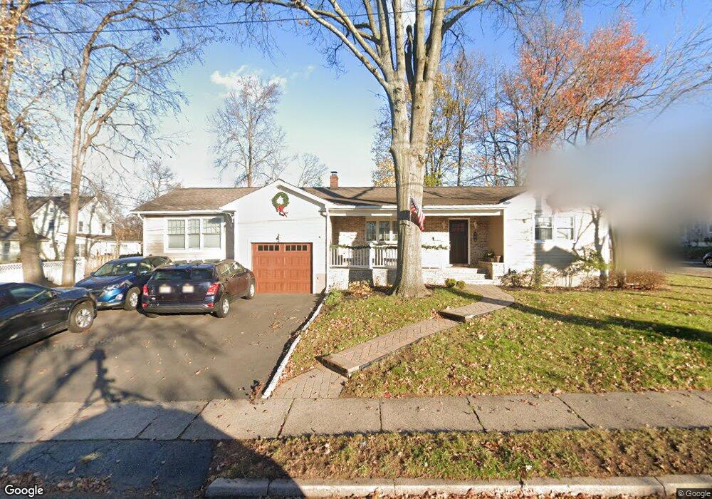
185 Howard St Dumont, NJ 07628
Estimated Value: $688,000 - $766,000
--
Bed
--
Bath
1,547
Sq Ft
$468/Sq Ft
Est. Value
About This Home
This home is located at 185 Howard St, Dumont, NJ 07628 and is currently estimated at $724,120, approximately $468 per square foot. 185 Howard St is a home located in Bergen County with nearby schools including Dumont High School and Institute For Educational Achievement.
Ownership History
Date
Name
Owned For
Owner Type
Purchase Details
Closed on
Oct 10, 2002
Current Estimated Value
Purchase Details
Closed on
Dec 7, 1995
Sold by
Baltazar Estanisla
Bought by
Rovito Dominic and Rovito Joanne
Home Financials for this Owner
Home Financials are based on the most recent Mortgage that was taken out on this home.
Original Mortgage
$152,000
Interest Rate
7.31%
Create a Home Valuation Report for This Property
The Home Valuation Report is an in-depth analysis detailing your home's value as well as a comparison with similar homes in the area
Home Values in the Area
Average Home Value in this Area
Purchase History
| Date | Buyer | Sale Price | Title Company |
|---|---|---|---|
| -- | -- | -- | |
| Rovito Dominic | $160,500 | -- |
Source: Public Records
Mortgage History
| Date | Status | Borrower | Loan Amount |
|---|---|---|---|
| Previous Owner | Rovito Dominic | $152,000 |
Source: Public Records
Tax History Compared to Growth
Tax History
| Year | Tax Paid | Tax Assessment Tax Assessment Total Assessment is a certain percentage of the fair market value that is determined by local assessors to be the total taxable value of land and additions on the property. | Land | Improvement |
|---|---|---|---|---|
| 2025 | $14,463 | $617,100 | $324,900 | $292,200 |
| 2024 | $14,107 | $355,800 | $201,500 | $154,300 |
| 2023 | $13,816 | $355,800 | $201,500 | $154,300 |
| 2022 | $13,816 | $355,800 | $201,500 | $154,300 |
| 2021 | $13,748 | $355,800 | $201,500 | $154,300 |
| 2020 | $13,375 | $355,800 | $201,500 | $154,300 |
| 2019 | $13,054 | $355,800 | $201,500 | $154,300 |
| 2018 | $12,787 | $355,800 | $201,500 | $154,300 |
| 2017 | $12,542 | $355,800 | $201,500 | $154,300 |
| 2016 | $12,250 | $355,800 | $201,500 | $154,300 |
| 2015 | $11,969 | $355,800 | $201,500 | $154,300 |
| 2014 | $11,734 | $355,800 | $201,500 | $154,300 |
Source: Public Records
Map
Nearby Homes
- 128 Davies Ave
- 199 Howard St
- 159 Virginia Ave
- 159 Virginia Ave Unit Floor 1
- 181 Howard St
- 190 Howard St
- 132 Davies Ave
- 192 Howard St
- 179 Howard St
- 135 Davies Ave
- 145 Virginia Ave
- 136 Davies Ave
- 169 Virginia Ave
- 123 Davies Ave
- 141 Davies Ave
- 115 Davies Ave
- 106 Davies Ave
- 140 Davies Ave
- 145 Davies Ave
- 135 Virginia Ave