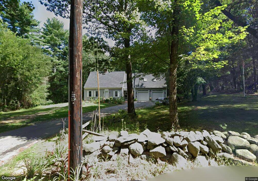
185 Kemp St Dunstable, MA 01827
Estimated Value: $825,000 - $900,000
4
Beds
3
Baths
3,159
Sq Ft
$270/Sq Ft
Est. Value
About This Home
This home is located at 185 Kemp St, Dunstable, MA 01827 and is currently estimated at $851,706, approximately $269 per square foot. 185 Kemp St is a home located in Middlesex County with nearby schools including Groton Dunstable Regional High School and Maple Dene & Moppet School.
Ownership History
Date
Name
Owned For
Owner Type
Purchase Details
Closed on
Aug 11, 2022
Sold by
Magro Maureen D
Bought by
Maureen D Magro Lt
Current Estimated Value
Purchase Details
Closed on
Nov 4, 2003
Sold by
Magro Maureen D and Magro Thomas A
Bought by
Magro Maureen D
Purchase Details
Closed on
Oct 17, 1983
Bought by
Magro Maureen D
Create a Home Valuation Report for This Property
The Home Valuation Report is an in-depth analysis detailing your home's value as well as a comparison with similar homes in the area
Home Values in the Area
Average Home Value in this Area
Purchase History
| Date | Buyer | Sale Price | Title Company |
|---|---|---|---|
| Maureen D Magro Lt | -- | None Available | |
| Magro Maureen D | -- | -- | |
| Magro Maureen D | $25,000 | -- |
Source: Public Records
Mortgage History
| Date | Status | Borrower | Loan Amount |
|---|---|---|---|
| Previous Owner | Magro Maureen D | $50,000 | |
| Previous Owner | Magro Maureen D | $323,000 |
Source: Public Records
Tax History Compared to Growth
Tax History
| Year | Tax Paid | Tax Assessment Tax Assessment Total Assessment is a certain percentage of the fair market value that is determined by local assessors to be the total taxable value of land and additions on the property. | Land | Improvement |
|---|---|---|---|---|
| 2025 | $9,611 | $699,000 | $221,000 | $478,000 |
| 2024 | $9,268 | $663,900 | $202,700 | $461,200 |
| 2023 | $8,868 | $592,400 | $202,700 | $389,700 |
| 2022 | $8,699 | $570,400 | $202,700 | $367,700 |
| 2021 | $4,951 | $503,800 | $185,400 | $318,400 |
| 2020 | $7,445 | $491,200 | $185,400 | $305,800 |
| 2019 | $8,112 | $475,500 | $185,400 | $290,100 |
| 2018 | $8,239 | $439,900 | $184,400 | $255,500 |
| 2017 | $4,040 | $436,700 | $184,400 | $252,300 |
| 2016 | $6,847 | $413,700 | $176,200 | $237,500 |
| 2015 | $6,920 | $413,600 | $148,500 | $265,100 |
| 2014 | $6,404 | $406,100 | $148,500 | $257,600 |
Source: Public Records
Map
Nearby Homes
- 8 Jamie Rd
- 208 North St
- 660 Old Dunstable Rd
- 153 Off Pond St
- 319 Pleasant St
- 452 River St
- 5 June St
- 2 Wildflower Ln
- 46 Lowell Rd
- 91 Chicopee Row
- 0 Old Dunstable Rd
- 38 Tarbell St Unit 5B
- 9 Tarbell St
- 31 Prospect St
- 28-30 Groton St
- 20 B Legacy Ln
- 20 A Legacy Ln Unit 20A
- 80A Nashua Rd
- 4 Parker Hill Way Unit C
- 446 Westford St