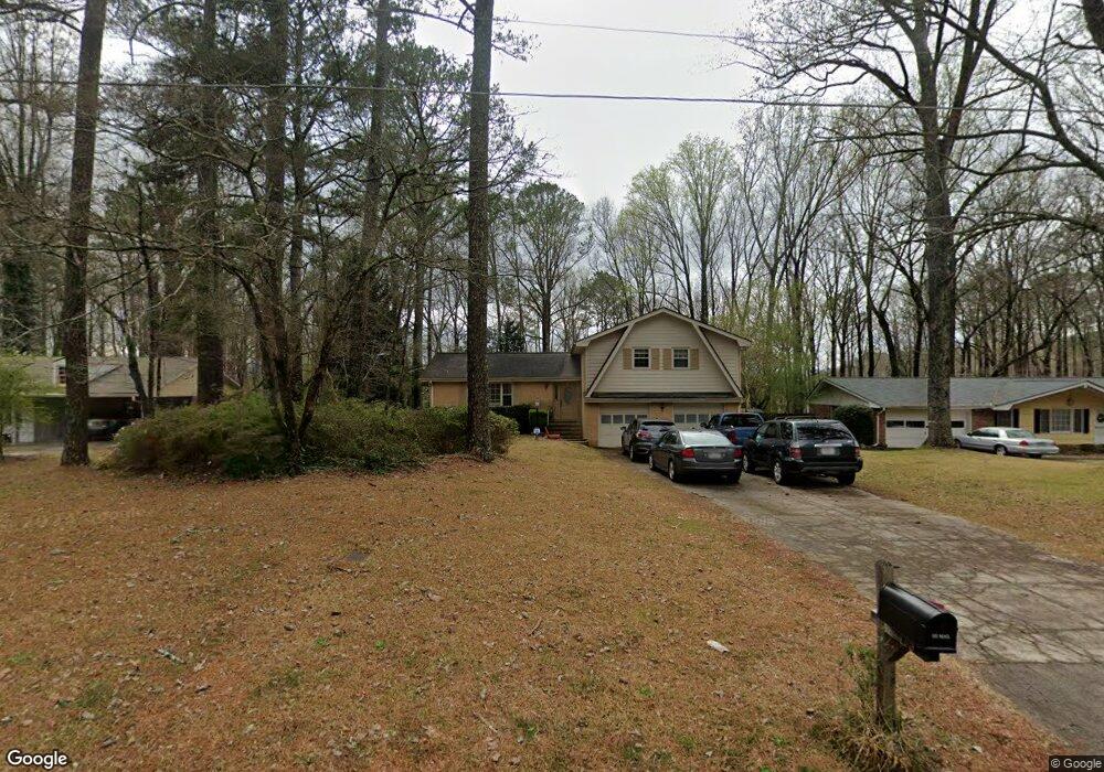
185 King David Dr SW Unit 1 Lilburn, GA 30047
Estimated Value: $387,000 - $437,000
3
Beds
3
Baths
2,213
Sq Ft
$186/Sq Ft
Est. Value
About This Home
This home is located at 185 King David Dr SW Unit 1, Lilburn, GA 30047 and is currently estimated at $412,081, approximately $186 per square foot. 185 King David Dr SW Unit 1 is a home located in Gwinnett County with nearby schools including Camp Creek Elementary School, Trickum Middle School, and Parkview High School.
Ownership History
Date
Name
Owned For
Owner Type
Purchase Details
Closed on
Dec 15, 1998
Sold by
Cox Deborah B and Cox William A
Bought by
Baird Brad W and Baird Lynn Y
Current Estimated Value
Home Financials for this Owner
Home Financials are based on the most recent Mortgage that was taken out on this home.
Original Mortgage
$126,950
Outstanding Balance
$27,723
Interest Rate
6.87%
Mortgage Type
FHA
Estimated Equity
$384,358
Create a Home Valuation Report for This Property
The Home Valuation Report is an in-depth analysis detailing your home's value as well as a comparison with similar homes in the area
Home Values in the Area
Average Home Value in this Area
Purchase History
| Date | Buyer | Sale Price | Title Company |
|---|---|---|---|
| Baird Brad W | $130,500 | -- |
Source: Public Records
Mortgage History
| Date | Status | Borrower | Loan Amount |
|---|---|---|---|
| Open | Baird Brad W | $126,950 |
Source: Public Records
Tax History Compared to Growth
Tax History
| Year | Tax Paid | Tax Assessment Tax Assessment Total Assessment is a certain percentage of the fair market value that is determined by local assessors to be the total taxable value of land and additions on the property. | Land | Improvement |
|---|---|---|---|---|
| 2025 | $602 | $173,920 | $22,200 | $151,720 |
| 2024 | $597 | $174,920 | $22,200 | $152,720 |
| 2023 | $597 | $129,120 | $24,800 | $104,320 |
| 2022 | $594 | $129,120 | $24,800 | $104,320 |
| 2021 | $2,739 | $104,120 | $19,600 | $84,520 |
| 2020 | $3,397 | $104,120 | $19,600 | $84,520 |
| 2019 | $3,159 | $95,280 | $19,600 | $75,680 |
| 2018 | $3,000 | $88,760 | $16,800 | $71,960 |
| 2016 | $2,336 | $63,280 | $12,400 | $50,880 |
| 2015 | $2,270 | $60,000 | $10,400 | $49,600 |
| 2014 | -- | $60,000 | $10,400 | $49,600 |
Source: Public Records
Map
Nearby Homes
- 146 King David Dr SW
- 4627 Nantucket Dr SW
- Oxford Plan at The Preserve at Killian Hill - Townhomes
- The Tyndall Plan at Annsbury Park
- The Maisie II Plan at Annsbury Park
- The Sadler Plan at Annsbury Park
- The Talbot Plan at Annsbury Park
- The Idlewild Plan at Annsbury Park
- 4160 Tillrock Ln
- 4181 Tillrock Ln
- 4151 Tillrock Ln
- 4171 Tillrock Ln
- 4191 Tillrock Ln
- 4131 Tillrock Ln
- 4358 Louis Rd SW
- 4740 Nantucket Dr SW
- 383 Ben Ave SW
- 4239 River Branch Way
- 4909 Woodfall Dr SW
- 246 Round Pond Dr
- 175 King David Dr SW
- 195 King David Dr SW
- 205 King David Dr SW
- 165 King David Dr SW
- 4535 Arcado Rd SW
- 129 King David Dr SW
- 186 King David Dr SW
- 176 King David Dr SW
- 196 King David Dr SW
- 0 King David Dr SW Unit 7120080
- 0 King David Dr SW Unit 3274719
- 0 King David Dr SW Unit 3213982
- 0 King David Dr SW Unit 8412118
- 0 King David Dr SW Unit 8268174
- 0 King David Dr SW Unit 7128912
- 0 King David Dr SW
- 215 King David Dr SW
- 155 King David Dr SW
- 166 King David Dr SW Unit 1
- 206 King David Dr SW