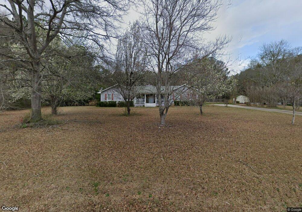
185 Laney Rd McDonough, GA 30252
Estimated Value: $271,879 - $294,000
3
Beds
2
Baths
1,547
Sq Ft
$182/Sq Ft
Est. Value
About This Home
This home is located at 185 Laney Rd, McDonough, GA 30252 and is currently estimated at $281,470, approximately $181 per square foot. 185 Laney Rd is a home located in Henry County with nearby schools including New Hope Elementary School, Locust Grove Middle School, and Locust Grove High School.
Ownership History
Date
Name
Owned For
Owner Type
Purchase Details
Closed on
Apr 2, 2019
Sold by
Trammel Clint
Bought by
Miller Alec C and Miller Troy D
Current Estimated Value
Home Financials for this Owner
Home Financials are based on the most recent Mortgage that was taken out on this home.
Original Mortgage
$154,850
Outstanding Balance
$136,140
Interest Rate
4.4%
Mortgage Type
New Conventional
Estimated Equity
$145,330
Purchase Details
Closed on
Mar 11, 2011
Sold by
Cartus Corp
Bought by
Trammel Clint
Home Financials for this Owner
Home Financials are based on the most recent Mortgage that was taken out on this home.
Original Mortgage
$74,400
Interest Rate
4.76%
Mortgage Type
New Conventional
Create a Home Valuation Report for This Property
The Home Valuation Report is an in-depth analysis detailing your home's value as well as a comparison with similar homes in the area
Home Values in the Area
Average Home Value in this Area
Purchase History
| Date | Buyer | Sale Price | Title Company |
|---|---|---|---|
| Miller Alec C | $163,000 | -- | |
| Trammel Clint | $93,000 | -- | |
| Cartus Corp | $94,000 | -- |
Source: Public Records
Mortgage History
| Date | Status | Borrower | Loan Amount |
|---|---|---|---|
| Open | Miller Alec C | $154,850 | |
| Previous Owner | Cartus Corp | $74,400 |
Source: Public Records
Tax History Compared to Growth
Tax History
| Year | Tax Paid | Tax Assessment Tax Assessment Total Assessment is a certain percentage of the fair market value that is determined by local assessors to be the total taxable value of land and additions on the property. | Land | Improvement |
|---|---|---|---|---|
| 2025 | $4,676 | $117,280 | $16,120 | $101,160 |
| 2024 | $4,676 | $115,160 | $14,840 | $100,320 |
| 2023 | $4,418 | $114,120 | $14,280 | $99,840 |
| 2022 | $3,402 | $87,640 | $13,200 | $74,440 |
| 2021 | $2,992 | $76,960 | $11,320 | $65,640 |
| 2020 | $2,541 | $65,200 | $10,302 | $54,898 |
| 2019 | $307 | $64,680 | $10,120 | $54,560 |
| 2018 | $308 | $59,800 | $9,360 | $50,440 |
| 2016 | $308 | $51,760 | $7,200 | $44,560 |
| 2015 | $329 | $51,160 | $7,680 | $43,480 |
| 2014 | $337 | $40,640 | $7,680 | $32,960 |
Source: Public Records
Map
Nearby Homes
- 215 Laney Rd
- 995 Old Jackson Rd
- 125 Laney Ct
- 281 Laney Dr
- 175 Laney Ct Unit 1
- 1126 Old Jackson Rd
- 767 Old Jackson Rd
- 125 Karen Dr
- 121, 125, 129 Case Dr
- 100 Harbin Trail
- 225 Laney Ct
- 151 River Park Cir
- 845 Graeme Dr
- 812 Graeme Dr
- 705 S Bethany Rd
- S S Laney Rd
- 143 Kimbell Farm Dr
- 461 Old Jackson Rd
- 315 S Bethany Rd
- 690 Laney Rd
- 200 Laney Rd
- 176 Laney Rd
- 208 Laney Rd
- 205 Laney Rd
- 214 Laney Rd
- 182 Laney Rd
- 160 Deerfield Trail
- 160 Deerfield Trail Unit 21
- 226 Laney Rd
- 170 Deerfield Trail
- 225 Laney Rd
- 232 Laney Rd
- 150 Deerfield Trail
- 140 Deerfield Trail
- 180 Deerfield Trail
- 965 Old Jackson Rd
- 238 Laney Rd
- 130 Deerfield Trail
- 130 Deerfield Trail Unit 1
- 1039 Old Jackson Rd