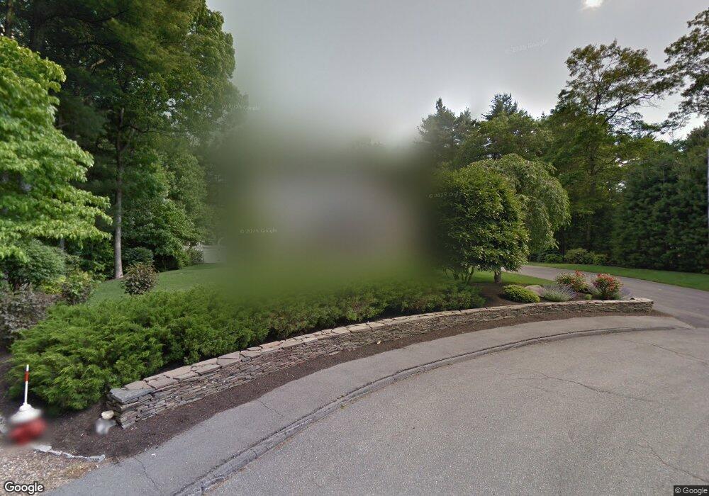
185 Lounsbury Dr Raynham, MA 02767
Estimated Value: $795,840 - $1,040,000
--
Bed
3
Baths
3,235
Sq Ft
$287/Sq Ft
Est. Value
About This Home
This home is located at 185 Lounsbury Dr, Raynham, MA 02767 and is currently estimated at $928,210, approximately $286 per square foot. 185 Lounsbury Dr is a home located in Bristol County with nearby schools including Merrill Elementary School, LaLiberte Elementary School, and Williams Intermediate School.
Ownership History
Date
Name
Owned For
Owner Type
Purchase Details
Closed on
Mar 20, 2006
Sold by
Goodrich Edward E and Goodrich Jane L
Bought by
Goodrich Jane L
Current Estimated Value
Create a Home Valuation Report for This Property
The Home Valuation Report is an in-depth analysis detailing your home's value as well as a comparison with similar homes in the area
Home Values in the Area
Average Home Value in this Area
Purchase History
| Date | Buyer | Sale Price | Title Company |
|---|---|---|---|
| Goodrich Jane L | -- | -- |
Source: Public Records
Tax History Compared to Growth
Tax History
| Year | Tax Paid | Tax Assessment Tax Assessment Total Assessment is a certain percentage of the fair market value that is determined by local assessors to be the total taxable value of land and additions on the property. | Land | Improvement |
|---|---|---|---|---|
| 2025 | $8,412 | $695,200 | $216,200 | $479,000 |
| 2024 | $8,352 | $672,500 | $216,200 | $456,300 |
| 2023 | $8,012 | $589,100 | $194,600 | $394,500 |
| 2022 | $7,574 | $510,700 | $176,900 | $333,800 |
| 2021 | $7,474 | $508,800 | $175,000 | $333,800 |
| 2020 | $7,247 | $502,900 | $169,100 | $333,800 |
| 2019 | $7,156 | $502,900 | $169,100 | $333,800 |
| 2018 | $7,042 | $472,600 | $165,100 | $307,500 |
| 2017 | $6,837 | $454,900 | $157,300 | $297,600 |
| 2016 | $6,738 | $449,800 | $152,200 | $297,600 |
| 2015 | $6,529 | $428,400 | $151,700 | $276,700 |
Source: Public Records
Map
Nearby Homes
- 970 N Main St
- 1037 N Main St
- 47 Fairbanks Rd
- 643 Center St
- 2 Maplewood Ln Unit 21-1
- 0 Maplewood Unit 21.3 73426136
- 0 Maplewood Unit 33-1 73420094
- 598 Elm St E
- 46 Sylvain St
- 658 Broadway
- 79 Jennings Dr
- 73 Sherwood Ln
- 21 Sully Rd
- 109 Broadway
- 38 Elm St E
- 25 Twin Diamond Dr
- 29 Saddle Dr
- 100 Francine Rd
- 1570 Old Pleasant St
- 1 Maplewood Ln Unit 33-3