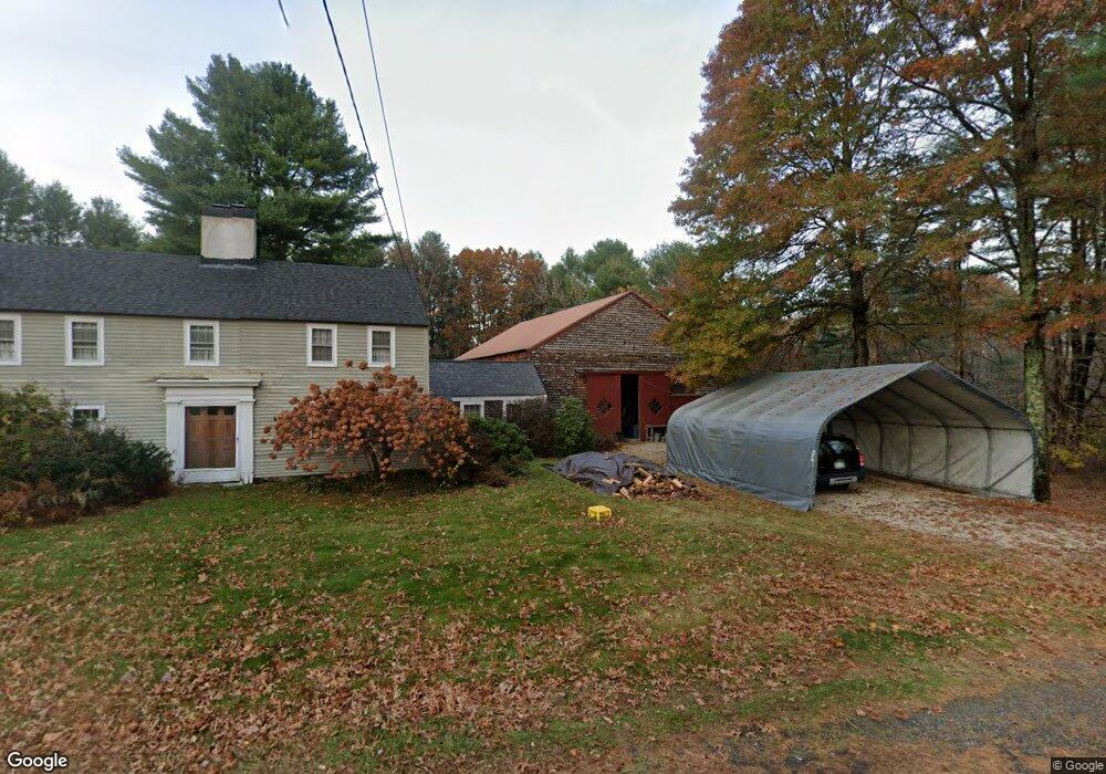
185 Main Ave South Hampton, NH 03827
Estimated Value: $847,515 - $1,062,000
4
Beds
4
Baths
4,032
Sq Ft
$239/Sq Ft
Est. Value
About This Home
This home is located at 185 Main Ave, South Hampton, NH 03827 and is currently estimated at $964,629, approximately $239 per square foot. 185 Main Ave is a home located in Rockingham County with nearby schools including South Hampton Barnard School, Winnacunnet High School, and Amesbury Seventh-Day Adventist School.
Ownership History
Date
Name
Owned For
Owner Type
Purchase Details
Closed on
Jun 30, 2003
Sold by
Reynolds Beverly J and Reynolds Philip K
Bought by
Conant Christopher R and Conant Christine
Current Estimated Value
Create a Home Valuation Report for This Property
The Home Valuation Report is an in-depth analysis detailing your home's value as well as a comparison with similar homes in the area
Home Values in the Area
Average Home Value in this Area
Purchase History
| Date | Buyer | Sale Price | Title Company |
|---|---|---|---|
| Conant Christopher R | $475,000 | -- |
Source: Public Records
Mortgage History
| Date | Status | Borrower | Loan Amount |
|---|---|---|---|
| Open | Conant Christopher R | $200,000 | |
| Closed | Conant Christopher R | $150,000 | |
| Closed | Conant Christopher R | $206,000 |
Source: Public Records
Tax History
| Year | Tax Paid | Tax Assessment Tax Assessment Total Assessment is a certain percentage of the fair market value that is determined by local assessors to be the total taxable value of land and additions on the property. | Land | Improvement |
|---|---|---|---|---|
| 2025 | $10,560 | $729,800 | $266,900 | $462,900 |
| 2024 | $10,071 | $729,800 | $266,900 | $462,900 |
| 2023 | $10,071 | $729,800 | $266,900 | $462,900 |
| 2022 | $9,706 | $488,700 | $161,500 | $327,200 |
| 2021 | $9,740 | $488,700 | $161,500 | $327,200 |
| 2020 | $6,516 | $488,700 | $161,500 | $327,200 |
| 2019 | $8,723 | $488,700 | $161,500 | $327,200 |
| 2018 | $8,147 | $488,700 | $161,500 | $327,200 |
| 2017 | $17 | $403,400 | $144,300 | $259,100 |
| 2016 | $7,354 | $403,400 | $144,300 | $259,100 |
| 2015 | $8,040 | $403,400 | $144,300 | $259,100 |
| 2014 | $7,544 | $403,400 | $144,300 | $259,100 |
| 2012 | $8,250 | $559,300 | $234,400 | $324,900 |
Source: Public Records
Map
Nearby Homes
- 67 Cynthia Ln
- 31 Newton Rd
- 63 S Hampton Rd
- 152 Kimball Rd
- 155 Chase Rd
- 49 Orchard St
- 64 Whitehall Rd
- 253 Amesbury Rd
- 81 High St Unit 23
- 51 Locust St
- 6 Cammetts Ct Unit 6
- 6 Kinsley Dr
- 7 Sanborn Terrace
- 22 Pond St Unit 2
- 25 High St
- 269 South Rd
- 25 Cedar St Unit 4
- 2 Perkins St
- 64 Cottage Rd
- 75 Main St Unit G (#104)
Your Personal Tour Guide
Ask me questions while you tour the home.