185 Moonshadow Rd Homerville, GA 31634
Estimated Value: $69,000 - $172,000
--
Bed
1
Bath
1,408
Sq Ft
$96/Sq Ft
Est. Value
About This Home
This home is located at 185 Moonshadow Rd, Homerville, GA 31634 and is currently estimated at $135,667, approximately $96 per square foot. 185 Moonshadow Rd is a home located in Clinch County with nearby schools including Clinch County Elementary School, Clinch County Middle School, and Clinch County High School.
Ownership History
Date
Name
Owned For
Owner Type
Purchase Details
Closed on
Dec 31, 2015
Sold by
Mayes Jessie Annette
Bought by
Mayes Wayne
Current Estimated Value
Home Financials for this Owner
Home Financials are based on the most recent Mortgage that was taken out on this home.
Original Mortgage
$31,471
Interest Rate
3.96%
Mortgage Type
New Conventional
Purchase Details
Closed on
Mar 19, 2015
Sold by
Mayes Annette M
Bought by
Clinch County Board Of Comm Of
Purchase Details
Closed on
Feb 1, 2013
Sold by
Mayes Annette
Bought by
Mayes Wayne
Purchase Details
Closed on
Apr 16, 2010
Sold by
Mayes Annette M
Bought by
Harvest Time Church Of God
Purchase Details
Closed on
Oct 8, 2009
Sold by
Mayes Jessie Annette
Bought by
Georgia Department Of Transportation
Create a Home Valuation Report for This Property
The Home Valuation Report is an in-depth analysis detailing your home's value as well as a comparison with similar homes in the area
Home Values in the Area
Average Home Value in this Area
Purchase History
| Date | Buyer | Sale Price | Title Company |
|---|---|---|---|
| Mayes Wayne | $30,000 | -- | |
| Clinch County Board Of Comm Of | -- | -- | |
| Mayes Wayne | -- | -- | |
| Harvest Time Church Of God | $20,000 | -- | |
| Georgia Department Of Transportation | -- | -- |
Source: Public Records
Mortgage History
| Date | Status | Borrower | Loan Amount |
|---|---|---|---|
| Closed | Mayes Wayne | $31,471 |
Source: Public Records
Tax History Compared to Growth
Tax History
| Year | Tax Paid | Tax Assessment Tax Assessment Total Assessment is a certain percentage of the fair market value that is determined by local assessors to be the total taxable value of land and additions on the property. | Land | Improvement |
|---|---|---|---|---|
| 2024 | $572 | $17,160 | $2,880 | $14,280 |
| 2023 | $572 | $17,160 | $2,880 | $14,280 |
| 2022 | $572 | $17,160 | $2,880 | $14,280 |
| 2021 | $572 | $17,160 | $2,880 | $14,280 |
| 2020 | $572 | $17,160 | $2,880 | $14,280 |
| 2019 | $618 | $18,520 | $4,240 | $14,280 |
| 2018 | $632 | $18,680 | $4,400 | $14,280 |
| 2017 | $632 | $18,680 | $4,400 | $14,280 |
| 2016 | $632 | $18,680 | $4,400 | $14,280 |
| 2015 | -- | $22,520 | $8,240 | $14,280 |
| 2014 | -- | $22,520 | $8,240 | $14,280 |
Source: Public Records
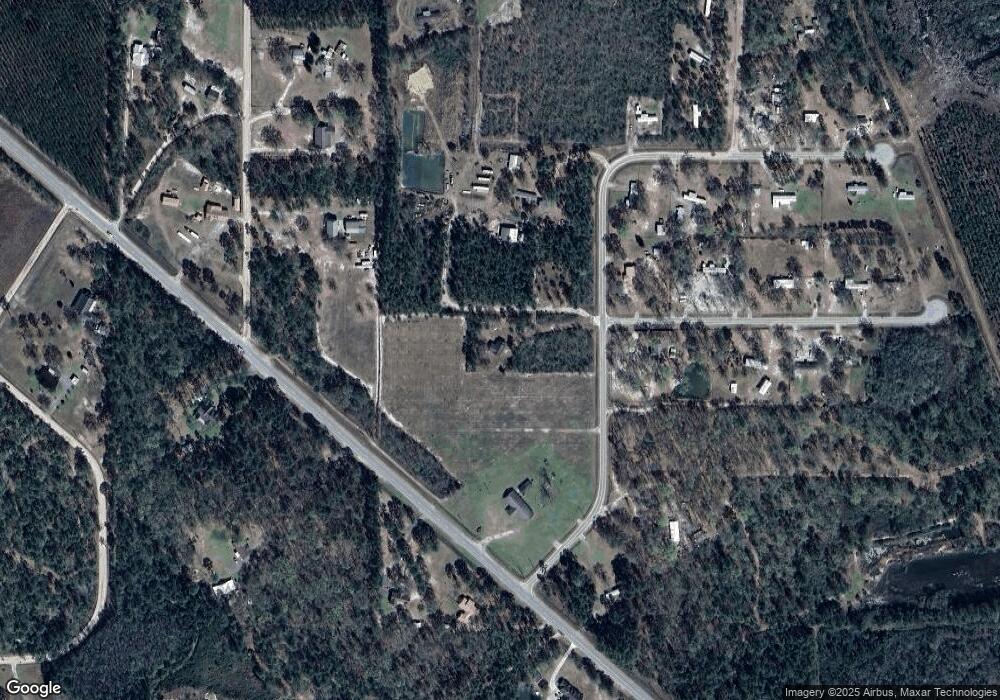
Map
Nearby Homes
- 0 William St
- 429 Holly Dr
- 911 Woodlake Dr
- 0 Locklier Rd
- 1386 Carswell Street Extension
- 1362 Carswell Street Extension
- 59 Ann St
- 314 Pine St
- 222 E Elna St
- 244 Courtland Ave
- 0 Us-441 S
- 0 U S 84 Unit 2 10563291
- 0 U S 84 Unit 1 10563254
- 0 U S 84 Unit 3 10563296
- 0 U S 84 Unit 4 10563302
- 102 McGlashin Dr
- 0 Fargo Hwy
- Highway 84
- Highway 84
- County Dirt Rd
- 4045 Pearson Hwy
- 4085 Pearson Hwy
- 74 Redman Morris Rd
- 3967 Pearson Hwy
- 4245 Pearson Hwy
- 4151 Pearson Hwy
- 205 Creekside Dr
- 124 Redman Morris Rd
- 4328 Pearson Hwy
- 180 Redman Morris Rd
- 3927 Pearson Hwy
- 4040 Pearson Hwy
- 201 Creekside Dr
- 45 Whisperwood Rd
- 45 Whisper Woods Rd
- 58 Whisperwood Rd
- 249 Whisperwood Rd
- 47 Leon Morris Rd
- 291 Whisperwood Rd
- 115 Doe Bay Rd