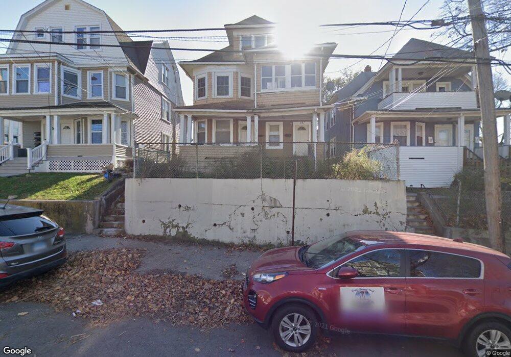
185 Orland St Unit 187 Bridgeport, CT 06605
Black Rock NeighborhoodEstimated Value: $434,000 - $674,000
6
Beds
3
Baths
2,936
Sq Ft
$182/Sq Ft
Est. Value
About This Home
This home is located at 185 Orland St Unit 187, Bridgeport, CT 06605 and is currently estimated at $535,667, approximately $182 per square foot. 185 Orland St Unit 187 is a home located in Fairfield County with nearby schools including Bassick High School, Park City Prep Charter School, and Great Oaks Charter School Bridgeport.
Ownership History
Date
Name
Owned For
Owner Type
Purchase Details
Closed on
Dec 30, 1994
Sold by
Witzmann Joseph
Bought by
Amaro Cheryl and Amaro Domingos
Current Estimated Value
Purchase Details
Closed on
May 24, 1993
Sold by
Keycorp Mtg
Bought by
Witzmann Joseph
Purchase Details
Closed on
Dec 16, 1987
Sold by
Soulios Nicoleta
Bought by
Hannah James
Home Financials for this Owner
Home Financials are based on the most recent Mortgage that was taken out on this home.
Original Mortgage
$166,400
Interest Rate
10.78%
Mortgage Type
Purchase Money Mortgage
Create a Home Valuation Report for This Property
The Home Valuation Report is an in-depth analysis detailing your home's value as well as a comparison with similar homes in the area
Home Values in the Area
Average Home Value in this Area
Purchase History
| Date | Buyer | Sale Price | Title Company |
|---|---|---|---|
| Amaro Cheryl | $10,000 | -- | |
| Amaro Cheryl | $10,000 | -- | |
| Witzmann Joseph | $33,000 | -- | |
| Witzmann Joseph | $33,000 | -- | |
| Hannah James | $184,900 | -- |
Source: Public Records
Mortgage History
| Date | Status | Borrower | Loan Amount |
|---|---|---|---|
| Previous Owner | Hannah James | $166,400 |
Source: Public Records
Tax History Compared to Growth
Tax History
| Year | Tax Paid | Tax Assessment Tax Assessment Total Assessment is a certain percentage of the fair market value that is determined by local assessors to be the total taxable value of land and additions on the property. | Land | Improvement |
|---|---|---|---|---|
| 2025 | $6,366 | $146,510 | $71,270 | $75,240 |
| 2024 | $6,366 | $146,510 | $71,270 | $75,240 |
| 2023 | $6,366 | $146,510 | $71,270 | $75,240 |
| 2022 | $6,366 | $146,510 | $71,270 | $75,240 |
| 2021 | $6,366 | $146,510 | $71,270 | $75,240 |
| 2020 | $6,843 | $126,740 | $30,600 | $96,140 |
| 2019 | $6,843 | $126,740 | $30,600 | $96,140 |
| 2018 | $6,891 | $126,740 | $30,600 | $96,140 |
| 2017 | $6,891 | $126,740 | $30,600 | $96,140 |
| 2016 | $6,891 | $126,740 | $30,600 | $96,140 |
| 2015 | $6,694 | $158,630 | $19,600 | $139,030 |
| 2014 | $6,694 | $158,630 | $19,600 | $139,030 |
Source: Public Records
Map
Nearby Homes
- 144 Whittier St
- 135 Whittier St
- 31 Whittier St
- 25 Whittier St
- 82 Waldorf Ave
- 167 Scofield Ave
- 105 Scofield Ave
- 95 Bedford Ave
- 118 Berwick Ave
- 130 Brentwood Ave
- 145 Brentwood Ave
- 166 Alfred St
- 51 Princeton St
- 855 Brewster St Unit 857
- 2773 Fairfield Ave Unit 3
- 37 Rowsley St Unit 6
- 222 Ellsworth St
- 26 Rowsley St Unit 3
- 20 Haddon St Unit 5
- 195 Lenox Ave Unit 197
- 197 Orland St Unit 2
- 197 Orland St Unit 199
- 197 Orland St Unit 1
- 179 Orland St Unit 183
- 190 Orland St
- 194 Orland St
- 172 Orland St Unit 174
- 172 Orland St Unit 3
- 172 Orland St Unit 2
- 215 Orland St Unit 217
- 174 Orland St Unit 3
- 174 Orland St Unit 2
- 166 Orland St
- 136 Whittier St
- 17 Bryant St
- 20 Siemon St
- 150 Whittier St
- 126 Whittier St
- 219 Orland St Unit 221
- 30 Siemon St