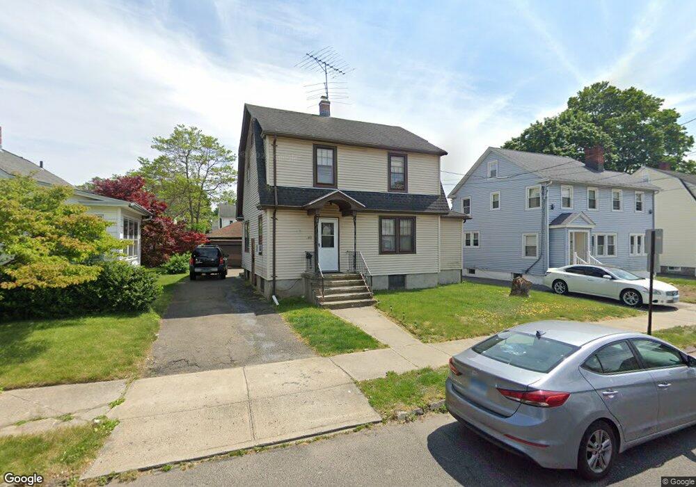
185 Overland Ave Bridgeport, CT 06606
North End NeighborhoodEstimated Value: $440,232 - $502,000
3
Beds
2
Baths
1,722
Sq Ft
$271/Sq Ft
Est. Value
About This Home
This home is located at 185 Overland Ave, Bridgeport, CT 06606 and is currently estimated at $466,308, approximately $270 per square foot. 185 Overland Ave is a home located in Fairfield County with nearby schools including Wilbur L. Cross Elementary School, Central High School, and St Andrew School.
Ownership History
Date
Name
Owned For
Owner Type
Purchase Details
Closed on
Aug 15, 1990
Sold by
Bien Anthony
Bought by
Antonio Adao
Current Estimated Value
Home Financials for this Owner
Home Financials are based on the most recent Mortgage that was taken out on this home.
Original Mortgage
$119,550
Interest Rate
9.96%
Mortgage Type
Purchase Money Mortgage
Create a Home Valuation Report for This Property
The Home Valuation Report is an in-depth analysis detailing your home's value as well as a comparison with similar homes in the area
Home Values in the Area
Average Home Value in this Area
Purchase History
| Date | Buyer | Sale Price | Title Company |
|---|---|---|---|
| Antonio Adao | $127,000 | -- |
Source: Public Records
Mortgage History
| Date | Status | Borrower | Loan Amount |
|---|---|---|---|
| Closed | Antonio Adao | $119,550 |
Source: Public Records
Tax History
| Year | Tax Paid | Tax Assessment Tax Assessment Total Assessment is a certain percentage of the fair market value that is determined by local assessors to be the total taxable value of land and additions on the property. | Land | Improvement |
|---|---|---|---|---|
| 2025 | $7,447 | $171,400 | $75,310 | $96,090 |
| 2024 | $7,447 | $171,400 | $75,310 | $96,090 |
| 2023 | $7,447 | $171,400 | $75,310 | $96,090 |
| 2022 | $7,447 | $171,400 | $75,310 | $96,090 |
| 2021 | $7,447 | $171,400 | $75,310 | $96,090 |
| 2020 | $6,689 | $123,900 | $39,340 | $84,560 |
| 2019 | $6,689 | $123,900 | $39,340 | $84,560 |
| 2018 | $6,736 | $123,900 | $39,340 | $84,560 |
| 2017 | $6,736 | $123,900 | $39,340 | $84,560 |
| 2016 | $6,736 | $123,900 | $39,340 | $84,560 |
| 2015 | $6,341 | $150,270 | $45,220 | $105,050 |
| 2014 | $6,341 | $150,270 | $45,220 | $105,050 |
Source: Public Records
Map
Nearby Homes
- 315 Tesiny Ave
- 75 Fleet St
- 578 Beechmont Ave
- 26 Victory St
- 35 Marcel St
- 1095 Wayne St
- 240 Valley Ave
- 948 Wayne St
- 200 Woodmont Ave Unit 130
- 335 Glendale Ave Unit G11
- 31 Elm Ct
- 345 Glendale Ave Unit A2
- 316 Goldenrod Ave
- 333 Vincellette St Unit 42
- 333 Vincellette St Unit 27
- 333 Vincellette St Unit 23
- 120 Clark St
- 3461 Main St
- 255 Ruth St
- 364 Griffin Ave
- 175 Overland Ave
- 195 Overland Ave
- 165 Overland Ave
- 290 Norland Ave
- 205 Overland Ave
- 280 Norland Ave
- 298 Norland Ave
- 161 Overland Ave Unit 163
- 198 Overland Ave Unit 200
- 310 Norland Ave
- 215 Overland Ave
- 155 Overland Ave
- 170 Overland Ave
- 268 Norland Ave Unit 270
- 260 Norland Ave
- 194 Overland Ave
- 166 Overland Ave
- 320 Norland Ave
- 225 Overland Ave
- 216 Overland Ave
Your Personal Tour Guide
Ask me questions while you tour the home.