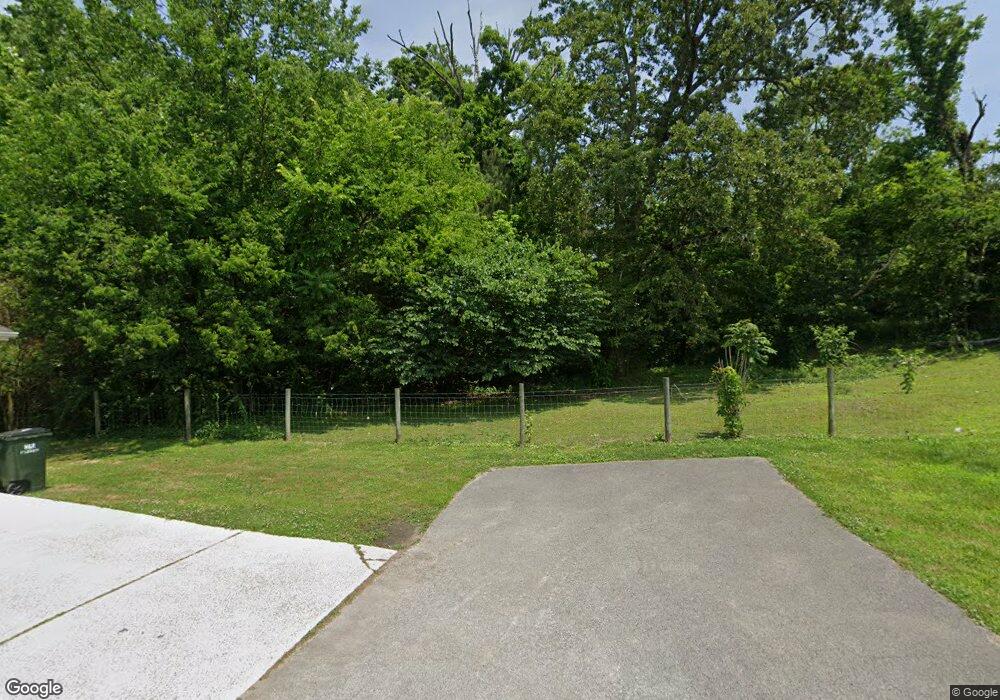
185 Paytn Ln Rock Spring, GA 30739
Rock Spring NeighborhoodEstimated Value: $377,769 - $461,000
3
Beds
4
Baths
2,300
Sq Ft
$180/Sq Ft
Est. Value
About This Home
This home is located at 185 Paytn Ln, Rock Spring, GA 30739 and is currently estimated at $414,692, approximately $180 per square foot. 185 Paytn Ln is a home located in Walker County with nearby schools including Lafayette High School and Alice M Daley Adventist School.
Ownership History
Date
Name
Owned For
Owner Type
Purchase Details
Closed on
Jul 18, 2016
Sold by
Ashburn Eric L
Bought by
Topping Charles E
Current Estimated Value
Home Financials for this Owner
Home Financials are based on the most recent Mortgage that was taken out on this home.
Original Mortgage
$204,300
Outstanding Balance
$162,882
Interest Rate
3.54%
Mortgage Type
VA
Estimated Equity
$251,810
Purchase Details
Closed on
Apr 1, 2009
Sold by
Ashburn David
Bought by
Ashburn Eric L
Home Financials for this Owner
Home Financials are based on the most recent Mortgage that was taken out on this home.
Original Mortgage
$200,000
Interest Rate
5.18%
Mortgage Type
New Conventional
Create a Home Valuation Report for This Property
The Home Valuation Report is an in-depth analysis detailing your home's value as well as a comparison with similar homes in the area
Home Values in the Area
Average Home Value in this Area
Purchase History
| Date | Buyer | Sale Price | Title Company |
|---|---|---|---|
| Topping Charles E | $200,000 | -- | |
| Ashburn Eric L | $250,000 | -- |
Source: Public Records
Mortgage History
| Date | Status | Borrower | Loan Amount |
|---|---|---|---|
| Open | Topping Charles E | $204,300 | |
| Previous Owner | Ashburn Eric L | $200,000 |
Source: Public Records
Tax History Compared to Growth
Tax History
| Year | Tax Paid | Tax Assessment Tax Assessment Total Assessment is a certain percentage of the fair market value that is determined by local assessors to be the total taxable value of land and additions on the property. | Land | Improvement |
|---|---|---|---|---|
| 2024 | $3,172 | $148,668 | $6,168 | $142,500 |
| 2023 | $3,053 | $140,038 | $4,895 | $135,143 |
| 2022 | $2,838 | $118,202 | $3,475 | $114,727 |
| 2021 | $2,319 | $86,790 | $3,475 | $83,315 |
| 2020 | $2,034 | $73,047 | $3,475 | $69,572 |
| 2019 | $2,116 | $73,047 | $3,475 | $69,572 |
| 2018 | $1,730 | $65,376 | $3,475 | $61,901 |
| 2017 | $2,088 | $65,376 | $3,475 | $61,901 |
| 2016 | $1,386 | $53,323 | $3,475 | $49,848 |
| 2015 | $1,369 | $49,580 | $2,973 | $46,607 |
| 2014 | $1,265 | $49,580 | $2,973 | $46,607 |
| 2013 | -- | $49,580 | $2,973 | $46,607 |
Source: Public Records
Map
Nearby Homes
- 1476 Arnold Rd
- 1121 Arnold Rd
- 195 Honeysuckle Dr
- 1902 Long Hollow Rd
- 918 Old Lafayette Rd
- 36 Pheonix Cir
- 136 Ginger Lake Dr
- 514 Ginger Lake Dr
- 100 Deer Ridge Ln
- 285 Cooper Rd
- 103 Deer Ridge Ln
- 200 Hunting Ridge Cir
- 183 Long Hollow Rd
- 140 Fieldstone Commons
- 124 Fieldstone Commons
- 1370 Old Highway 27
- 1003 Highway N Old 27
- 5602 Georgia 95
- 00 Georgia 95
- 28 Cobblestone Trail
- 61 Avery Dr
- 54 Avery Dr
- 41 Avery Dr
- 14 Avery Dr
- 1395 Arnold Rd
- 1351 Arnold Rd
- 1351 Arnold Rd
- 86 Paytn Ln
- 1337 Arnold Rd
- 8442 N Highway 27
- 12937 N Highway 27
- 1319 Arnold Rd
- 0 N Highway 27 Unit RTC2913180
- 0 N Highway 27 Unit RTC2719935
- 9098 N Highway 27
- 8100 N Highway 27
- 17 N Highway 27
- 100 N Highway 27
- 0 N Highway 27
