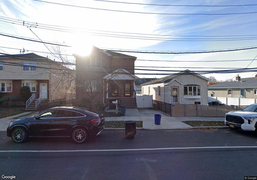
185 Quintard St Staten Island, NY 10305
South Beach NeighborhoodEstimated Value: $467,000 - $562,000
2
Beds
1
Bath
900
Sq Ft
$569/Sq Ft
Est. Value
About This Home
This home is located at 185 Quintard St, Staten Island, NY 10305 and is currently estimated at $512,119, approximately $569 per square foot. 185 Quintard St is a home located in Richmond County with nearby schools including P.S. 46 Albert V Maniscalco, I.S. 49 Berta A Dreyfus, and Curtis High School.
Ownership History
Date
Name
Owned For
Owner Type
Purchase Details
Closed on
Jun 20, 2003
Sold by
Flynn Lenore
Bought by
Ayoub Fahmi
Current Estimated Value
Home Financials for this Owner
Home Financials are based on the most recent Mortgage that was taken out on this home.
Original Mortgage
$166,250
Interest Rate
6.22%
Mortgage Type
Purchase Money Mortgage
Create a Home Valuation Report for This Property
The Home Valuation Report is an in-depth analysis detailing your home's value as well as a comparison with similar homes in the area
Home Values in the Area
Average Home Value in this Area
Purchase History
| Date | Buyer | Sale Price | Title Company |
|---|---|---|---|
| Ayoub Fahmi | $175,000 | -- |
Source: Public Records
Mortgage History
| Date | Status | Borrower | Loan Amount |
|---|---|---|---|
| Previous Owner | Ayoub Fahmi | $166,250 |
Source: Public Records
Tax History Compared to Growth
Tax History
| Year | Tax Paid | Tax Assessment Tax Assessment Total Assessment is a certain percentage of the fair market value that is determined by local assessors to be the total taxable value of land and additions on the property. | Land | Improvement |
|---|---|---|---|---|
| 2025 | $3,262 | $25,380 | $4,070 | $21,310 |
| 2024 | $3,262 | $24,900 | $4,149 | $20,751 |
| 2023 | $3,274 | $16,120 | $4,415 | $11,705 |
| 2022 | $3,036 | $23,400 | $6,360 | $17,040 |
| 2021 | $3,019 | $21,780 | $6,360 | $15,420 |
| 2020 | $2,865 | $18,780 | $6,360 | $12,420 |
| 2019 | $2,832 | $19,380 | $6,360 | $13,020 |
| 2018 | $2,738 | $13,433 | $3,859 | $9,574 |
| 2017 | $2,583 | $12,673 | $3,963 | $8,710 |
| 2016 | $2,390 | $11,956 | $4,989 | $6,967 |
| 2015 | $2,165 | $11,280 | $5,280 | $6,000 |
| 2014 | $2,165 | $11,280 | $5,280 | $6,000 |
Source: Public Records
Map
Nearby Homes
- 71 Cameron Ave
- 12 Reid Ave
- 220 Norway Ave
- 200 Mallory Ave
- 139 Hurlbert St
- 115 W Broadway Unit 4
- 236 Mallory Ave
- 4 Mccormick Place
- 206 Benton Ave
- 504 Mcclean Ave
- 44 Quintard St
- 125 Laconia Ave
- 57 Jerome Rd
- 12 Mcdermott Ave
- 68 Kensington Ave
- 275 Hurlbert St
- 166 Jerome Ave
- 21 Norway Ave
- 25 Mallory Ave
- 109 Jerome Ave