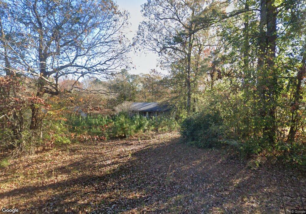
185 Reed Rd West Point, GA 31833
Estimated Value: $181,000 - $235,000
3
Beds
2
Baths
1,456
Sq Ft
$143/Sq Ft
Est. Value
About This Home
This home is located at 185 Reed Rd, West Point, GA 31833 and is currently estimated at $207,783, approximately $142 per square foot. 185 Reed Rd is a home located in Troup County with nearby schools including Long Cane Elementary School, West Point Elementary School, and Berta Weathersbee Elementary School.
Ownership History
Date
Name
Owned For
Owner Type
Purchase Details
Closed on
Dec 26, 2013
Sold by
Davis Keith Allen
Bought by
Davis Kelly Nicole
Current Estimated Value
Purchase Details
Closed on
Jul 2, 2004
Sold by
Household Finance Corporation
Bought by
Davis Kelly
Purchase Details
Closed on
Oct 7, 2003
Sold by
Jones Carol Lunar
Bought by
Household Finance Corporation
Purchase Details
Closed on
Jan 18, 2001
Sold by
Davis E C
Bought by
Jones Carol Lunar
Purchase Details
Closed on
Sep 1, 1999
Sold by
Capital Land Investment Llc
Bought by
Davis E C
Purchase Details
Closed on
Oct 29, 1998
Sold by
Henry Hal C and Henry Miller
Bought by
Capital Land Investment Llc
Create a Home Valuation Report for This Property
The Home Valuation Report is an in-depth analysis detailing your home's value as well as a comparison with similar homes in the area
Home Values in the Area
Average Home Value in this Area
Purchase History
| Date | Buyer | Sale Price | Title Company |
|---|---|---|---|
| Davis Kelly Nicole | -- | -- | |
| Davis Kelly | $79,500 | -- | |
| Household Finance Corporation | $78,700 | -- | |
| Jones Carol Lunar | $90,000 | -- | |
| Davis E C | $12,000 | -- | |
| Capital Land Investment Llc | -- | -- |
Source: Public Records
Tax History Compared to Growth
Tax History
| Year | Tax Paid | Tax Assessment Tax Assessment Total Assessment is a certain percentage of the fair market value that is determined by local assessors to be the total taxable value of land and additions on the property. | Land | Improvement |
|---|---|---|---|---|
| 2024 | $1,489 | $56,600 | $6,280 | $50,320 |
| 2023 | $1,376 | $52,440 | $6,280 | $46,160 |
| 2022 | $1,333 | $49,760 | $6,280 | $43,480 |
| 2021 | $1,279 | $44,400 | $5,600 | $38,800 |
| 2020 | $1,279 | $44,400 | $5,600 | $38,800 |
| 2019 | $1,029 | $36,092 | $4,932 | $31,160 |
| 2018 | $943 | $33,252 | $4,932 | $28,320 |
| 2017 | $943 | $33,252 | $4,932 | $28,320 |
| 2016 | $921 | $32,514 | $4,932 | $27,582 |
| 2015 | $923 | $32,514 | $4,932 | $27,582 |
| 2014 | $880 | $31,062 | $4,932 | $26,130 |
| 2013 | -- | $33,090 | $4,932 | $28,158 |
Source: Public Records
Map
Nearby Homes
- 202 Reed Rd
- 249 Reed Rd
- 0 Lambert Rd
- 0 Ga Highway 0116 Unit 10619139
- 0 Sandtown Rd Unit 10255987
- 90 Hickory Ln
- 797 Gabbettville Rd
- 1903 Ridgewood Dr
- 508 Pine St
- 0 Johns Rd Unit 10615130
- 5714 W Point Rd
- 1505 Wisteria Dr
- 1103 Clara Dr
- 1105 Clara Dr
- 1107 Clara Dr
- 796 Shoemaker Rd
- 111 Tudor Way
- 0 Sunset Dr Unit 10451831
- 648 Warner Rd
- 1410 Roper Ave