185 Salter Path Ln Waynesburg, PA 15370
Estimated Value: $57,106 - $255,000
2
Beds
1
Bath
840
Sq Ft
$133/Sq Ft
Est. Value
About This Home
This home is located at 185 Salter Path Ln, Waynesburg, PA 15370 and is currently estimated at $111,527, approximately $132 per square foot. 185 Salter Path Ln is a home with nearby schools including Waynesburg Central Elementary School, Miller Middle School, and Waynesburg Central High School.
Ownership History
Date
Name
Owned For
Owner Type
Purchase Details
Closed on
Sep 24, 2020
Sold by
Troicke Deborah
Bought by
Troicke Deborah
Current Estimated Value
Purchase Details
Closed on
Aug 8, 2012
Sold by
Vance Ronald L
Bought by
Nelson Joe W and Nelson Connie S
Home Financials for this Owner
Home Financials are based on the most recent Mortgage that was taken out on this home.
Original Mortgage
$30,700
Outstanding Balance
$13,188
Interest Rate
3.61%
Mortgage Type
New Conventional
Estimated Equity
$98,339
Create a Home Valuation Report for This Property
The Home Valuation Report is an in-depth analysis detailing your home's value as well as a comparison with similar homes in the area
Home Values in the Area
Average Home Value in this Area
Purchase History
| Date | Buyer | Sale Price | Title Company |
|---|---|---|---|
| Troicke Deborah | -- | None Available | |
| Nelson Joe W | $41,000 | None Available |
Source: Public Records
Mortgage History
| Date | Status | Borrower | Loan Amount |
|---|---|---|---|
| Open | Nelson Joe W | $30,700 |
Source: Public Records
Tax History Compared to Growth
Tax History
| Year | Tax Paid | Tax Assessment Tax Assessment Total Assessment is a certain percentage of the fair market value that is determined by local assessors to be the total taxable value of land and additions on the property. | Land | Improvement |
|---|---|---|---|---|
| 2025 | $993 | $25,205 | $14,460 | $10,745 |
| 2024 | $993 | $25,205 | $14,460 | $10,745 |
| 2023 | $993 | $25,205 | $14,460 | $10,745 |
| 2022 | $993 | $25,205 | $14,460 | $10,745 |
| 2021 | $993 | $25,205 | $14,460 | $10,745 |
| 2020 | $956 | $25,205 | $14,460 | $10,745 |
| 2019 | $956 | $25,205 | $14,460 | $10,745 |
| 2018 | $10 | $25,205 | $14,460 | $10,745 |
| 2017 | $1,023 | $25,205 | $14,460 | $10,745 |
| 2016 | -- | $25,205 | $14,460 | $10,745 |
| 2015 | -- | $31,940 | $14,460 | $17,480 |
| 2014 | -- | $31,940 | $14,460 | $17,480 |
| 2013 | -- | $31,940 | $14,460 | $17,480 |
Source: Public Records
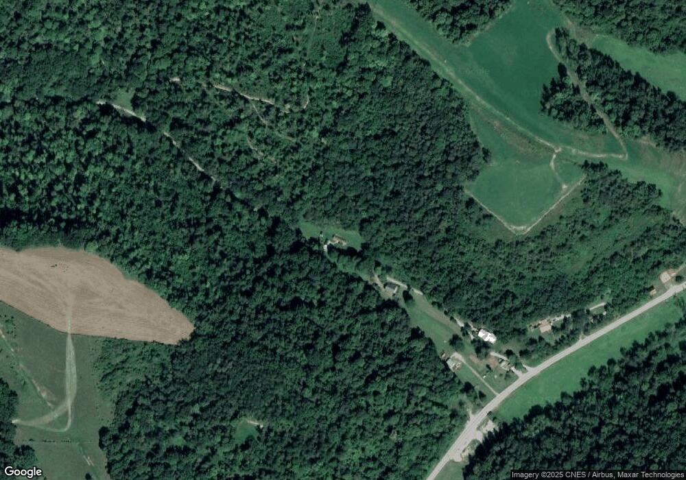
Map
Nearby Homes
- 175 Long Woods Rd
- 00 Mine Rd
- 0 Victoria Ln Unit 1705810
- 479 Bell Run Rd
- 398 Sugar Run Rd
- 0 Lippencott Rd Unit 1718289
- 353 S Washington St
- 336 Fruit St
- 147 W Elm St
- 119 W Elm St
- 111 2nd St
- 272 E Lincoln St
- 355 Park Ave
- 664 E Greene St
- 215 1st Ave
- 197 N Liberty St
- 233 Second Ave
- 595 N Richhill St
- 1182 Mt Morris Rd
- 121 Hoy Run Rd
- 1517 Smith Creek Rd
- 1507 Smith Creek Rd
- 211 Salter Path Ln
- 1543 Smith Creek Rd
- 1577 Smith Creek Rd
- 1461 Smith Creek Rd
- 101 Salter Path Ln
- 1615 Smith Creek Rd
- 131 Kirby Rd
- 103 Kirby Rd
- 1639 Smith Creek Rd
- 117 Kirby Rd
- 194 Kirby Rd
- 1672 Smith Creek Rd
- 1684 Smith Creek Rd
- 1696 Smith Creek Rd
- 240 Kirby Rd
- 1352 Smith Creek Rd
- 248 Kirby Rd
- 272 White Barn Rd