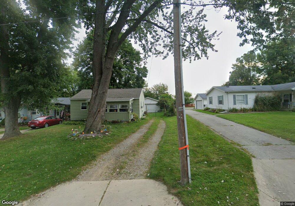
185 Sassafrass St Coloma, MI 49038
Estimated Value: $79,000 - $155,000
2
Beds
1
Bath
744
Sq Ft
$177/Sq Ft
Est. Value
About This Home
This home is located at 185 Sassafrass St, Coloma, MI 49038 and is currently estimated at $131,884, approximately $177 per square foot. 185 Sassafrass St is a home located in Berrien County with nearby schools including Coloma Elementary School, Coloma Intermediate School, and Coloma Junior High School.
Ownership History
Date
Name
Owned For
Owner Type
Purchase Details
Closed on
Aug 15, 2014
Sold by
Deutsche Bank National Trust Company
Bought by
Porphir David
Current Estimated Value
Purchase Details
Closed on
Oct 3, 2013
Sold by
Briley Kenneth L and Briley Karen Sue
Bought by
Deutsche Bank National Trust Company
Purchase Details
Closed on
Jun 9, 1983
Purchase Details
Closed on
Feb 1, 1975
Purchase Details
Closed on
Jan 1, 1975
Create a Home Valuation Report for This Property
The Home Valuation Report is an in-depth analysis detailing your home's value as well as a comparison with similar homes in the area
Home Values in the Area
Average Home Value in this Area
Purchase History
| Date | Buyer | Sale Price | Title Company |
|---|---|---|---|
| Porphir David | $21,000 | None Available | |
| Deutsche Bank National Trust Company | $12,000 | None Available | |
| -- | $100 | -- | |
| -- | $13,500 | -- | |
| -- | $9,000 | -- |
Source: Public Records
Tax History Compared to Growth
Tax History
| Year | Tax Paid | Tax Assessment Tax Assessment Total Assessment is a certain percentage of the fair market value that is determined by local assessors to be the total taxable value of land and additions on the property. | Land | Improvement |
|---|---|---|---|---|
| 2025 | $1,204 | $42,200 | $0 | $0 |
| 2024 | $273 | $39,800 | $0 | $0 |
| 2023 | $260 | $35,500 | $0 | $0 |
| 2022 | $248 | $30,700 | $0 | $0 |
| 2021 | $1,088 | $26,700 | $2,800 | $23,900 |
| 2020 | $1,089 | $24,300 | $0 | $0 |
| 2019 | $1,084 | $22,100 | $2,800 | $19,300 |
| 2018 | $981 | $22,100 | $0 | $0 |
| 2017 | $977 | $22,100 | $0 | $0 |
| 2016 | $964 | $21,600 | $0 | $0 |
| 2015 | $961 | $20,200 | $0 | $0 |
| 2014 | $214 | $19,700 | $0 | $0 |
Source: Public Records
Map
Nearby Homes
- 274 E Logan St
- 254 E Center St
- 189 Banks St
- 236 E Saint Joseph St
- 6754 Paw Ave
- 3190/3198 Prospect St
- 4500 Wil-O-paw Dr
- 6582 Ryno Rd
- 153 Ryno Rd
- 6307 Wilson St
- 0 Wilson St
- 260 W Saint Joseph St
- 0 Defield Rd
- 7039 Curtis Dr
- 4557 Douglas Terrace
- 7197 Paw Ave Unit (West)
- 7197 Paw Ave Unit East
- 6950 Shore Dr
- 6167 Becht Rd E
- 5026 Weatherford Dr
- 185 Sassafras St
- 197 Sassafrass St
- 171 Sassafrass St
- 161 Sassafrass St
- 292 E Logan St
- 140 Sassafras St
- 140 Sassafrass St
- 205 Sassafrass St
- 147 Sassafrass St
- 284 E Logan St
- 289 Garfield St
- 293 E Logan St
- 285 E Logan St
- 278 E Logan St
- 281 Garfield St
- 135 Sassafrass St
- 279 E Logan St
- 144 Sassafrass St
- 275 Garfield St
- 280 Garfield St