185 Shadow Ln Grants Pass, OR 97526
Estimated Value: $789,748
3
Beds
3
Baths
2,718
Sq Ft
$291/Sq Ft
Est. Value
About This Home
This home is located at 185 Shadow Ln, Grants Pass, OR 97526 and is currently estimated at $789,748, approximately $290 per square foot. 185 Shadow Ln is a home located in Josephine County with nearby schools including Ft. Vannoy Elementary School, Fleming Middle School, and North Valley High School.
Ownership History
Date
Name
Owned For
Owner Type
Purchase Details
Closed on
May 29, 2007
Sold by
Burns Brian and Burns Cindy
Bought by
Odonnell Dennis Lee and Odonnell Deborah Jean
Current Estimated Value
Home Financials for this Owner
Home Financials are based on the most recent Mortgage that was taken out on this home.
Original Mortgage
$185,000
Outstanding Balance
$111,671
Interest Rate
6.12%
Mortgage Type
Purchase Money Mortgage
Estimated Equity
$678,077
Create a Home Valuation Report for This Property
The Home Valuation Report is an in-depth analysis detailing your home's value as well as a comparison with similar homes in the area
Home Values in the Area
Average Home Value in this Area
Purchase History
| Date | Buyer | Sale Price | Title Company |
|---|---|---|---|
| Odonnell Dennis Lee | $685,000 | First American |
Source: Public Records
Mortgage History
| Date | Status | Borrower | Loan Amount |
|---|---|---|---|
| Open | Odonnell Dennis Lee | $185,000 |
Source: Public Records
Tax History Compared to Growth
Tax History
| Year | Tax Paid | Tax Assessment Tax Assessment Total Assessment is a certain percentage of the fair market value that is determined by local assessors to be the total taxable value of land and additions on the property. | Land | Improvement |
|---|---|---|---|---|
| 2025 | $4,070 | $568,510 | -- | -- |
| 2024 | $4,070 | $551,960 | -- | -- |
| 2023 | $3,322 | $535,890 | $0 | $0 |
| 2022 | $3,353 | $520,290 | -- | -- |
| 2021 | $3,141 | $505,140 | $0 | $0 |
| 2020 | $3,278 | $490,430 | $0 | $0 |
| 2019 | $3,145 | $476,150 | $0 | $0 |
| 2018 | $3,188 | $462,290 | $0 | $0 |
| 2017 | $3,188 | $448,830 | $0 | $0 |
| 2016 | $2,696 | $435,760 | $0 | $0 |
| 2015 | $2,601 | $423,070 | $0 | $0 |
| 2014 | $2,535 | $410,750 | $0 | $0 |
Source: Public Records
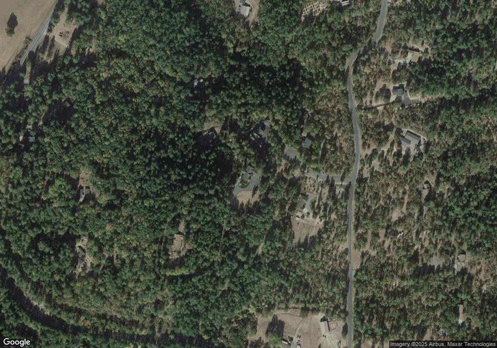
Map
Nearby Homes
- 484 Shadow Hills Dr
- 10511 Lower River Rd
- 10523 Lower River Rd
- 900 Shadow Hills Dr
- 10517 Lower River Rd
- 151 Ewe Creek Rd
- 11990 Artlin Rd
- 175 Quail Ln
- 925 Ferry Rd
- 0 Ferry Rd Unit 104
- 876 Ferry
- 1080 Ferry Rd
- 243 Ewe Creek Rd
- 12370 Lower River Rd
- 503 Quail Ln
- 123 Rogue Riffle Dr
- 2410 Robertson Bridge Rd
- 2093 Robertson Bridge Rd Unit 2100
- 198 Rossier Ln
- 145 Griffin Rd
- 199 Shadow Ln
- 275 Shadow Hills Dr
- 130 Shadow Ln Unit 18
- 179 Shadow Ln
- 190 Shadow Ln
- 410 Shadow Hills Dr
- 11146 Lower River Rd
- 10562 Lower River Rd
- 350 Shadow Hills Dr
- 651 Shadow Hills Dr
- 1000 Shadow Hills Dr
- 175 Shadow Ln
- 11150 Lower River Rd
- 11230 Lower River Rd
- 700 Shadow Hills Dr
- 80 Shadow Hills Dr
- 991 Shadow Hills Dr
- 301 Shadow Hills Dr
- 10531 Lower River Rd
- 990 Shadow Hills Dr